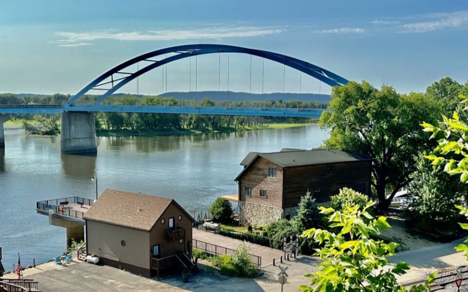
Right where a wide river bends past tall limestone cliffs, a tiny town sits with only 429 people counted in the 2020 census. Its bluffs rise high above the water, and a famous bridge once stretched across the channel nearby.
Trains, barges, and bald eagles all share this view. I wanted to know why so few people talk about such a dramatic corner of Iowa.
Here is what I found when I went looking.
A Town Counted at Just 429 People
Small numbers can tell a big story. The 2020 census counted 429 people here, up a little from 421 in 2000.
That tiny change tells me something simple. People who land in this spot tend to stay, and the town keeps its steady rhythm year after year.
On my first slow drive through, I noticed how close everything sits. Homes, a few businesses, and quiet side streets all fit within easy walking distance.
With so few residents, you notice every small detail. A porch swing, a neatly mowed lawn, a train rumbling by in the distance.
Park the car early and plan to wander on foot. The pace here asks you to slow down, and it rewards you when you do.
Meeting Marquette on the Map
Now for the name that ties it all together. Marquette is a city in Clayton County, Iowa, United States, in the state’s northeast corner, with a ZIP code of 52157.
The town sits along the Mississippi River, which forms the border with Wisconsin. That location explains almost everything about its look and feel.
Bluffs crowd the horizon, and the river keeps the air cool and breezy on warm afternoons. Roads wind through the hills before dropping into town.
I used the coordinates 43.0444 north and 91.1782 west to find my way. Any phone map will bring you right to the center of town.
Once you arrive, the next surprise is just overhead, where the land itself puts on a show.
Limestone Bluffs That Steal the Show
Look up, and the whole town makes sense. Steep bluffs rise above the river, giving Marquette a backdrop most Midwest towns never get.
This part of Iowa belongs to the Driftless Area, where glaciers skipped over the land and left tall hills and deep valleys behind. That is why the terrain feels so different from the flat farm fields farther south and west.
The views change with the light. Morning mist softens the cliffs, and late sun turns the rock warm and golden.
Bring a camera, even if you only plan a short stop. Every turn in the road seems to open a new angle on the same dramatic scene.
Better views are waiting just up the hill, and that is where I headed next.
The Mighty Mississippi at Your Doorstep
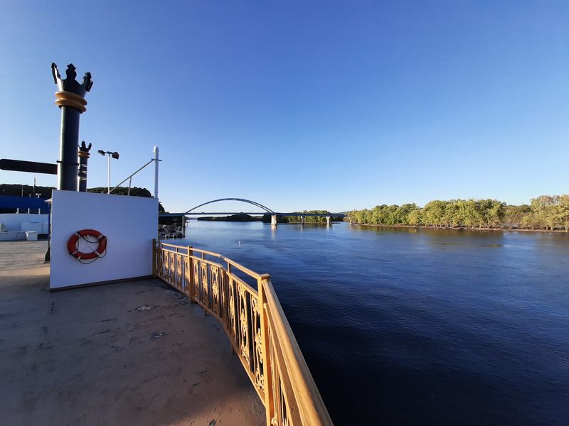
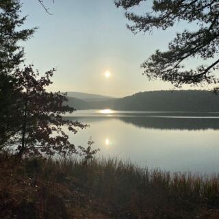
The river is the main character here. It runs wide and slow past town, with wooded Wisconsin shoreline across the water.
Standing on the bank, I watched the current drift along without any hurry. Islands and backwaters break up the channel, which makes the scene feel layered and full of detail.
Fishing boats and pleasure craft use this stretch of water. Commercial barges also push through on the main channel, and they are fun to watch if you catch one.
Visit at sunrise or sunset for the calmest water and softest light. Bring a jacket, since the breeze off the river can surprise you.
Of course, the river has also shaped how people crossed it, and that story involves a famous bridge.
The Bridge Story Nearby
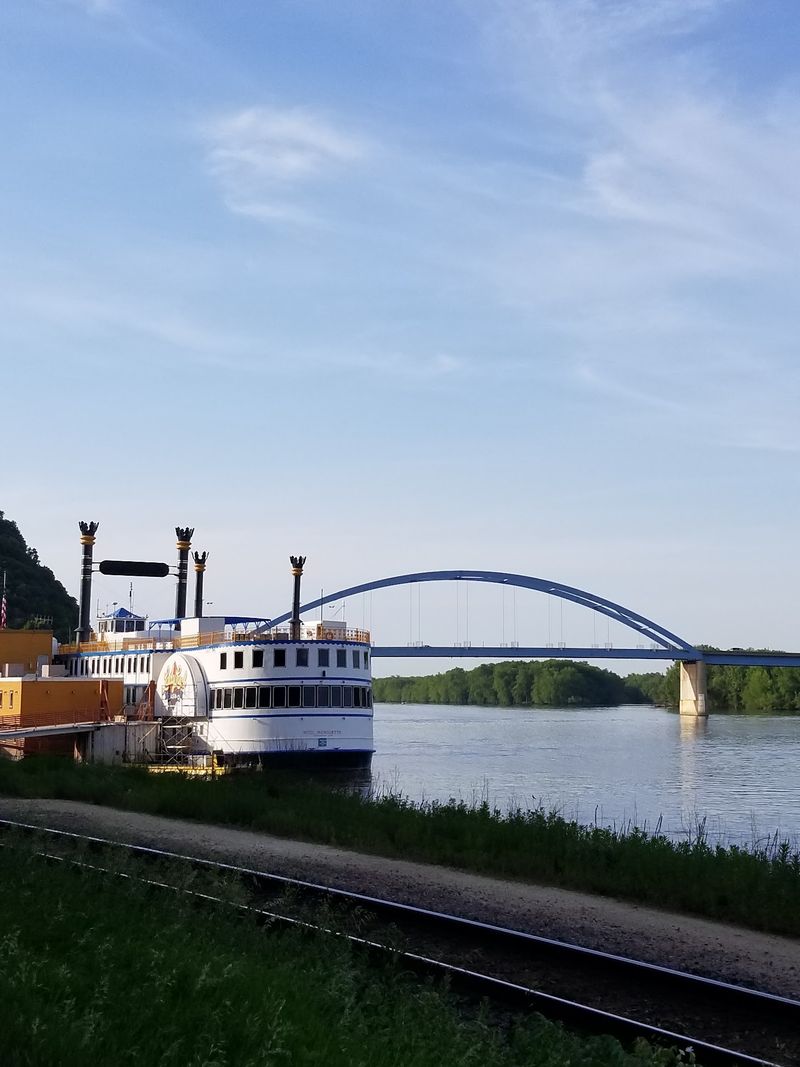
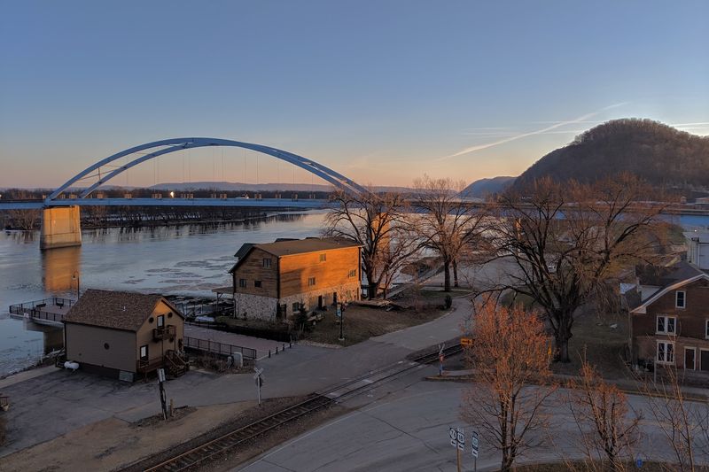
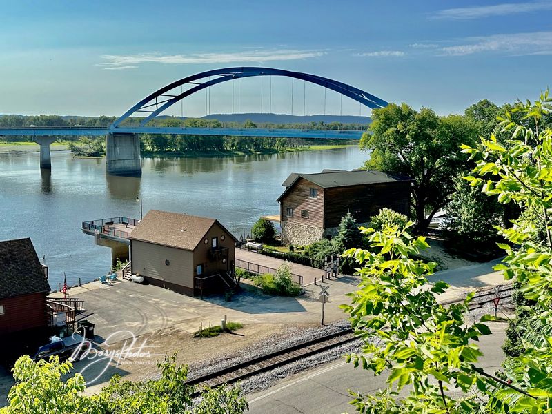
A bridge once gave this area a famous link across the water. The Marquette-Joliet Bridge connected Iowa with Prairie du Chien, Wisconsin, and was a landmark for travelers.
It was replaced by a newer crossing, the Prairie du Chien-Marquette Bridge, which now carries drivers over the river. The newer span continues the same job in a modern way.
Look for the crossing as you walk along the riverfront. It frames the water nicely and makes a strong subject for photos.
Knowing the story adds meaning to the view. Every crossing here connects two states and two river communities.
Stay on the Iowa side for a bit longer, because the next stop is about the wildlife above you.
Eagles Overhead
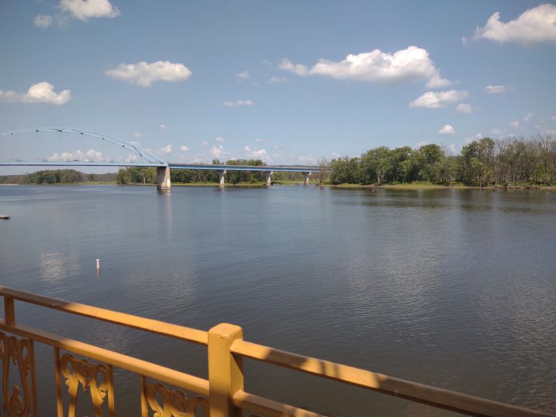
Keep your eyes on the sky. The Mississippi River corridor is a well-known path for bald eagles, especially in colder months.
Open water draws the birds to hunt for fish, and tall trees on the bluffs give them places to perch. I spotted a few wide wings circling over the channel.
Binoculars help a great deal, though sharp eyes can catch them too. Look for white heads and tails against the dark tree line.
Early morning offers the best chance for quiet and clear views. Dress warmly, since river wind can bite in winter.
Birds are only part of the natural show, so I turned my attention to the hills themselves.
Hills Worth a Slow Drive
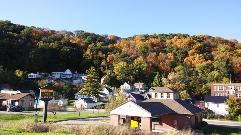
Some places are best seen from behind the wheel. The roads around town curve through wooded hills and small farms, with new views at nearly every bend.
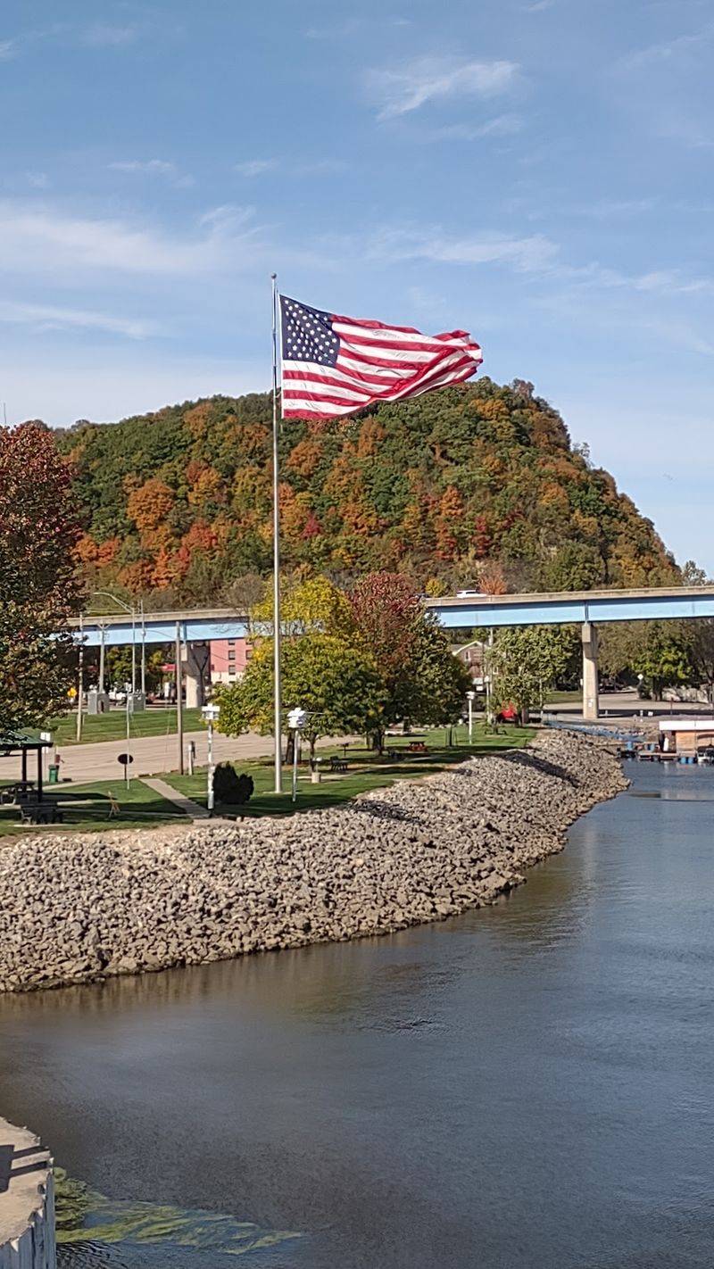
Fall brings the biggest color change. Maples and oaks turn orange and red, and the bluffs look even more dramatic against them.
Spring has its own appeal, with fresh green leaves and wildflowers along the road edges. Summer feels lush, and winter shows off the rock in sharp detail.
Take your time and use pullouts when you can. Rushing here would mean missing the best parts.
The same road leads toward one of the most famous overlooks in the region, which is next.
Pikes Peak State Park Close By
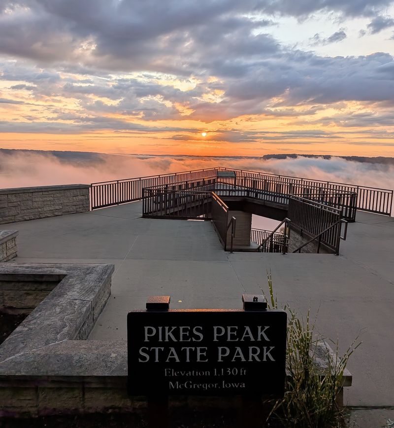
Just a short drive south sits Pikes Peak State Park, home to one of the best views in Iowa. The overlook rises high above the spot where the Wisconsin River meets the Mississippi.
From the top, the rivers spread out below like a map. You can see wooded islands, long stretches of water, and the hills on both sides.
The park also has trails and picnic areas, so it makes an easy half-day trip. Walkways near the overlook are simple to reach.
Bring water and comfortable shoes if you plan to explore beyond the main viewpoint. Weekday mornings tend to be calmer.
After soaking in the high view, I returned to town to see how the community lives with this scenery.
Effigy Mounds Nearby
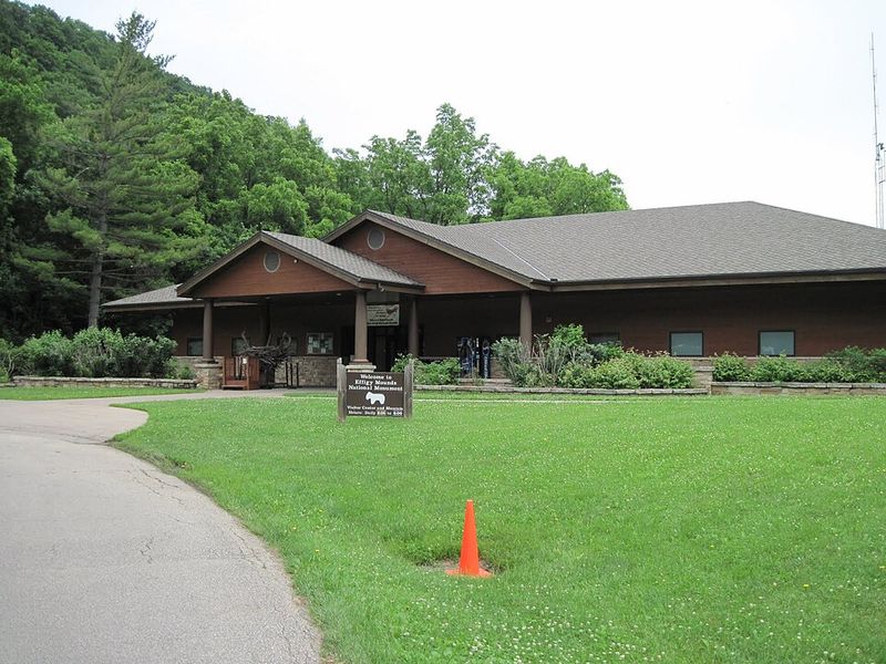
Long before towns appeared, people shaped this land in lasting ways. Effigy Mounds National Monument, a short drive from Marquette, protects mounds built by early Native peoples.
Many are shaped like animals, such as bears and birds, while others are cone or linear forms. They sit among woods and bluffs with views over the river valley.
Trails lead through the grounds, and a visitor center explains the history. Walking among the mounds feels quiet and thoughtful.
Check the park website for current hours and trail conditions before you go. Good shoes make the hillside paths easier.
History runs deep in this area, and it pairs well with the modern small-town calm back in Marquette.
Trains and the Riverside Rhythm
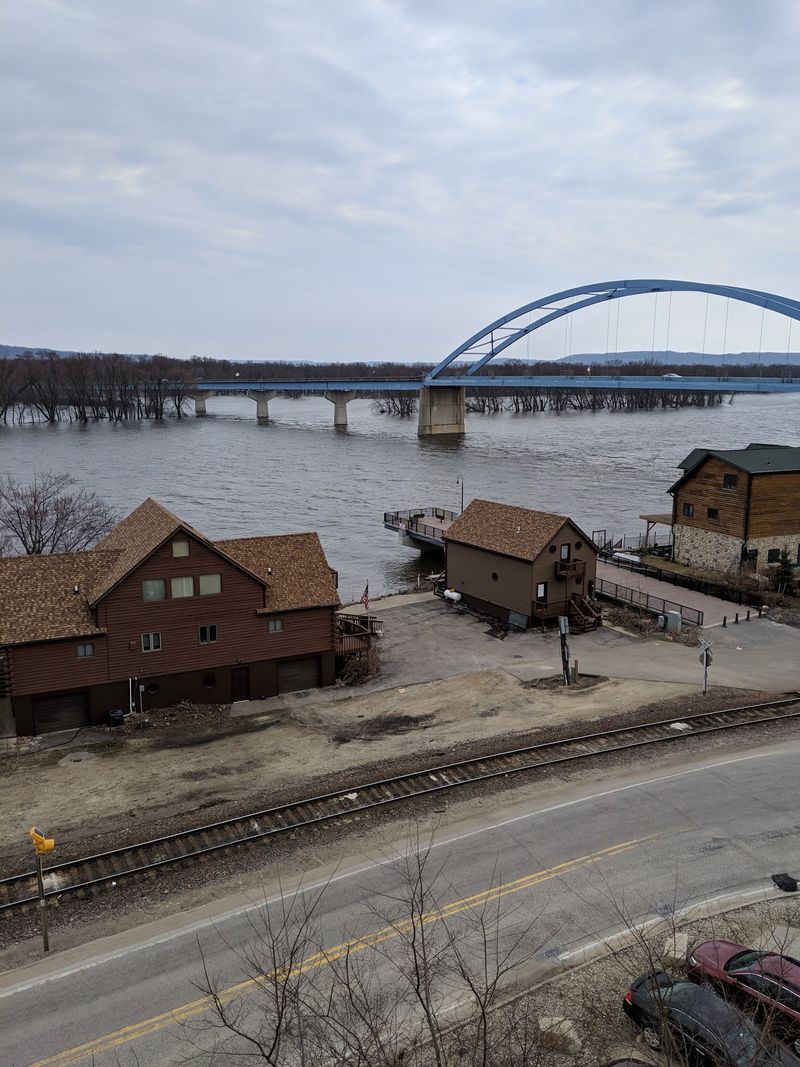
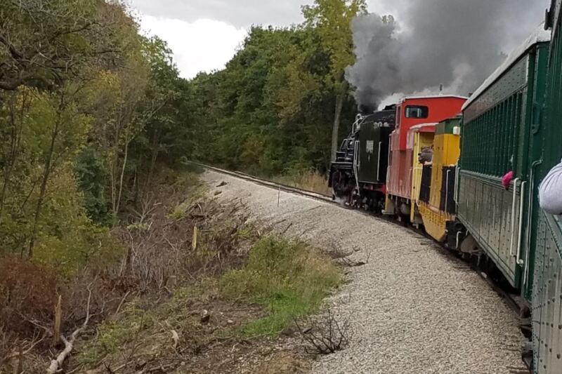
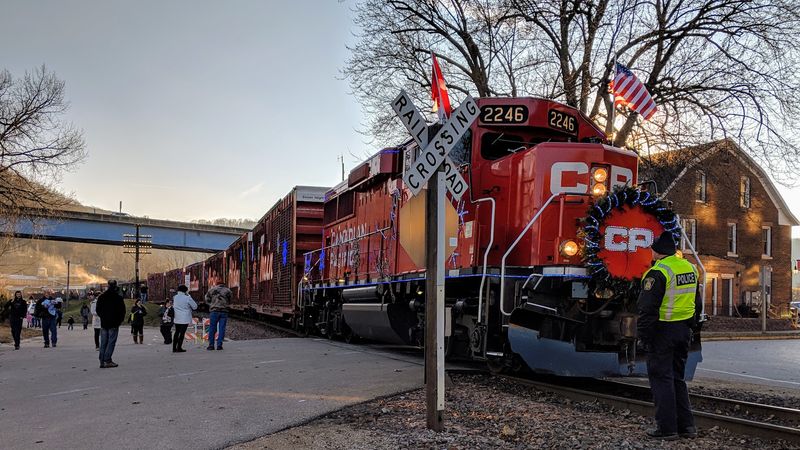
Listen closely, and you will hear the town’s pulse. Rail lines run along the river here, and freight trains pass through with a low rumble.
Railroads once shaped many river towns, carrying goods and connecting small places to larger markets. That working past still echoes in the landscape.
Watching a long train curve below the bluffs makes a surprisingly good photo. The steel, water, and rock all line up in one frame.
Stay a safe distance from tracks and never cross them except at proper crossings. Patience pays off, since trains run on their own schedule.
Beyond the tracks, the day winds down in a calm, simple way along the water.
Best Seasons to Visit
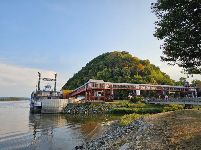
Every season gives the bluffs a new face. That makes timing a fun part of planning.
Spring brings green hills and fresh river air. Summer offers long days on the water and warm evenings along the bank.
Autumn is the showstopper, with color spilling down the hillsides. Winter strips the trees bare and highlights the rock, plus it brings the best chances for spotting eagles.
My pick is mid-October, when the light turns soft and golden. Pack layers, because river valleys can be cooler than the surrounding uplands.
No matter when you go, one more tip will help you make the most of the trip.
Planning Your Visit and What Comes Next
A little planning goes a long way in a town this small. Marquette works best as a stop within a bigger northeast Iowa trip.
Pair it with Pikes Peak State Park and Effigy Mounds National Monument for a full day of views and history. Prairie du Chien across the river adds another easy stop.
Fill your gas tank and bring snacks before you arrive, since services in tiny towns can be limited. A paper map or downloaded route helps where cell signals fade in the hills.
I left feeling that 429 residents are lucky to have such a view. Keep exploring the Driftless region, because more river towns and bluff overlooks are waiting along the way.
Share this story