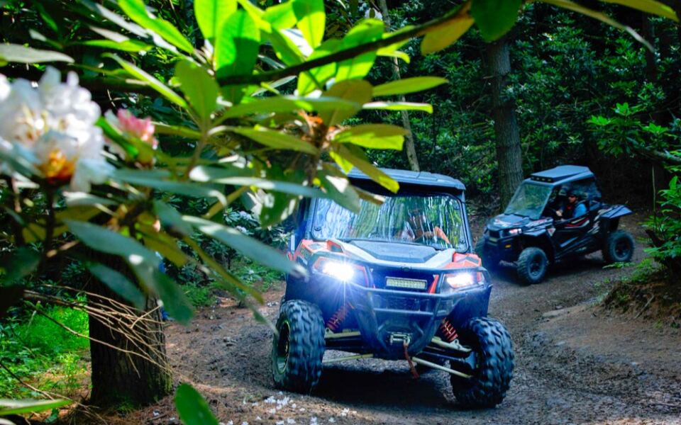
Southern West Virginia has turned former coal and logging country into one of the largest off-road riding destinations in the eastern United States. The Hatfield-McCoy Trails offer more than 1,000 miles of routes for ATVs, UTVs, and dirt bikes, with everything from beginner-friendly paths to challenging mountain climbs.
What makes this network different is how closely it connects to local communities. Riders can travel from designated trails into towns such as Gilbert, Man, and Matewan, where restaurants, fuel stops, and lodging cater to off-road visitors.
The trails also offer a few unexpected stops, including mountain overlooks and a popular swing on Buffalo Mountain. With multiple trail systems spread across southern West Virginia, choosing where to start is part of the adventure.
Where the Mountains Became a Playground
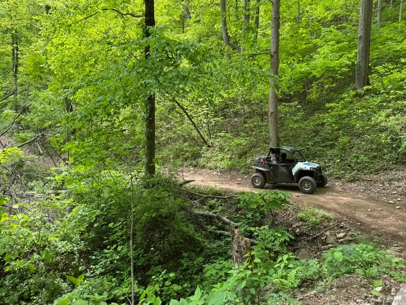
Southern West Virginia took a bold idea and ran with it. The Hatfield-McCoy Trails began welcoming riders in 2000, using land shaped by decades of coal mining and timber work.
The Trails Heaven visitor hub sits at 180 Appalachian Outpost Trail in Man, West Virginia. From here, riders can learn about the separate trail systems spread across several southern counties, including Logan, Mingo, McDowell, Wyoming, and more.
The network is built for ATVs, UTVs, and dirt bikes. Each trail system has its own trailheads, maps, and mix of easy and tough routes, so planning matters before you unload a machine.
I find the whole story encouraging. Communities that once depended on mining found a fresh way to bring visitors into their hollows and small downtowns.
The trails are open year-round, which surprises a lot of first-timers. Winter rides can be cold, so layers become just as important as a full gas tank.
Before choosing where to stay, it helps to know that each trail system feels quite different, and the color codes on the maps tell a big part of that story.
Green, Blue, Black, and Double Trouble
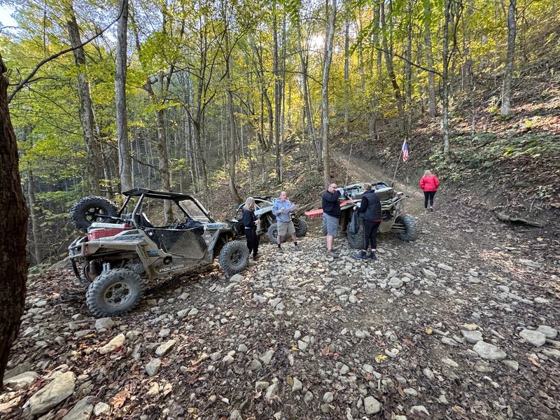
Color matters a lot out here. Like ski slopes, the trails use a rating system so riders can pick routes that match their skill and their nerves.
Green trails are the easiest and usually the widest. Blue routes add more climbs, ruts, and tighter turns, while black diamond trails bring rocks, steep grades, and technical spots that demand real experience.
Then come the double black diamonds. These are for skilled riders with capable machines, and many people happily skip them.
A smart approach is to start one level lower than you think you need. Ratings can vary a bit from one trail system to another, so a blue in one place might feel tougher somewhere else.
Steep hills and blind corners show up on many routes. Riding at a steady pace and staying on your side of the trail keeps everyone safer when another vehicle appears suddenly.
I’d spend a few minutes studying the map at the trailhead before rolling out. Free maps are available online and at trailheads, and the next question is which trail system fits your style best.
A Swing With a View on Buffalo Mountain
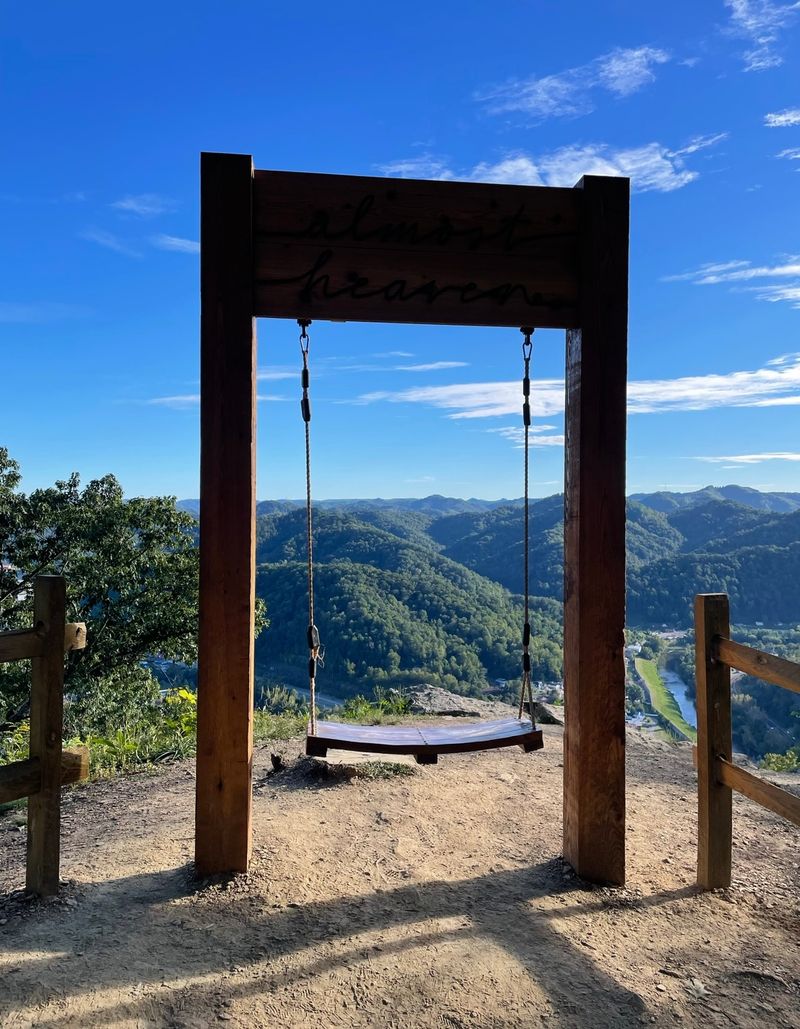
A simple swing became one of the most photographed stops in the network. It sits on Buffalo Mountain, near Williamson in Mingo County, and looks out over layers of forested ridges.
Buffalo Mountain also has a reputation for single-track paths. Dirt bike riders often seek it out because these narrow routes feel different from the wider roads found on other systems.
Plenty of the main trails there are manageable for most machines too. Families riding side-by-sides can enjoy the scenery without tackling the toughest sections.
What catches my attention is how a small detail like a swing can become a goal for a whole ride. It gives younger riders a fun destination and gives adults a perfect excuse to stretch their legs.
Bring a phone or camera with a full battery. Cell service can be patchy in the mountains, so download maps ahead of time rather than counting on a signal.
Buffalo Mountain is just one stop, though. Farther along the network, some trail systems lead riders to rock formations, waterfalls, and overlooks.
Rock House, Rockhouse Waterfalls, and More
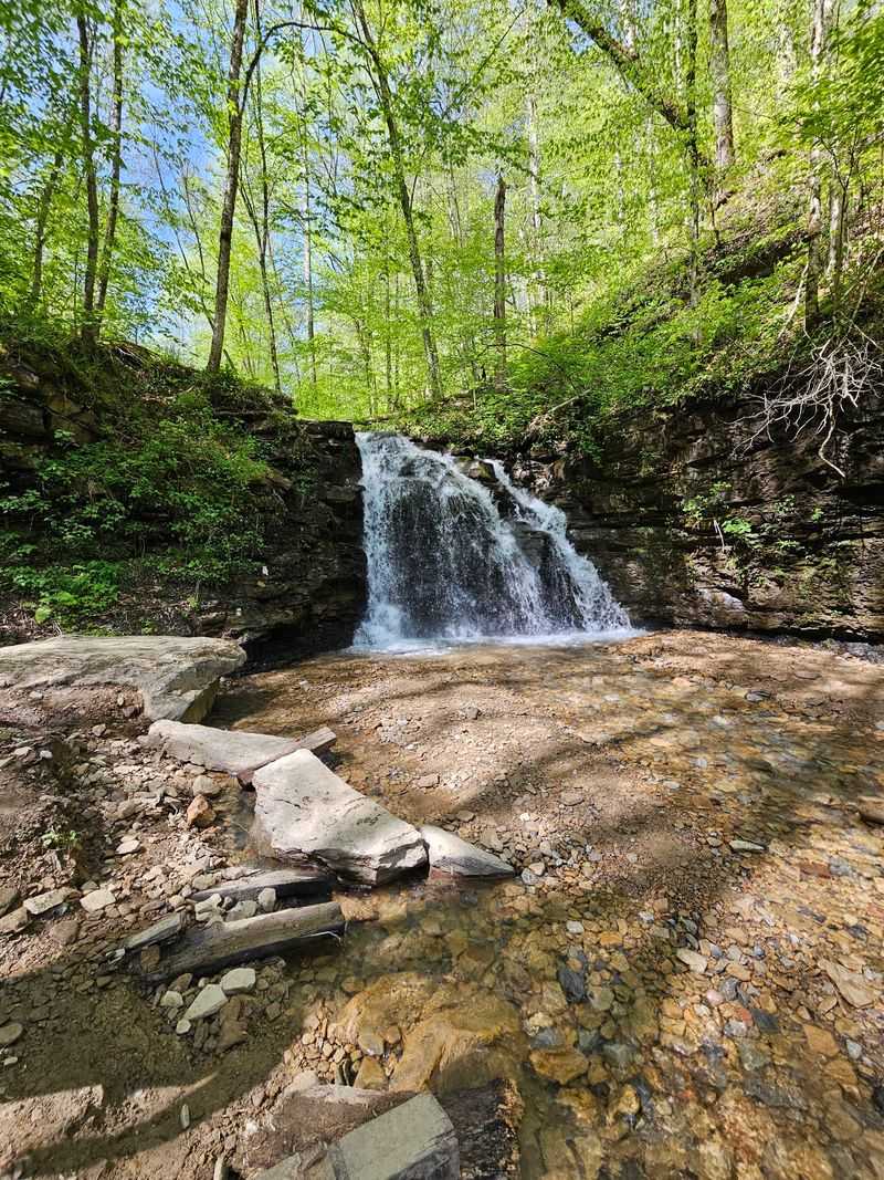
Some trails reward riders with more than dirt and mud. The Rockhouse system near Gilbert includes a waterfall stop that many riders plan around.
Rockhouse offers a mix of green and blue routes along with tougher black trails. Riders on ATVs often spend more than one day there, since there is a lot of ground to cover.
Nearby systems add their own flavor. Bearwallow near Ashland and Rock Lick near Bramwell area offer long stretches of moderate riding that can keep a group busy for hours.
Pocahontas, near Bramwell, connects to the historic coal town feel of McDowell and Mercer counties. Its routes include green, blue, and black options, with some rocky climbs that test drivers.
Packing a lunch makes sense on these longer systems. Pull-off areas give you room to eat and rest without blocking traffic.
Please carry your trash out. Some riders attach netted bags to their machines, which is an easy habit that keeps pit stops clean for the next group.
Getting to these trails also means choosing where to sleep, and that part has some fun options.
Riding Straight Into Town
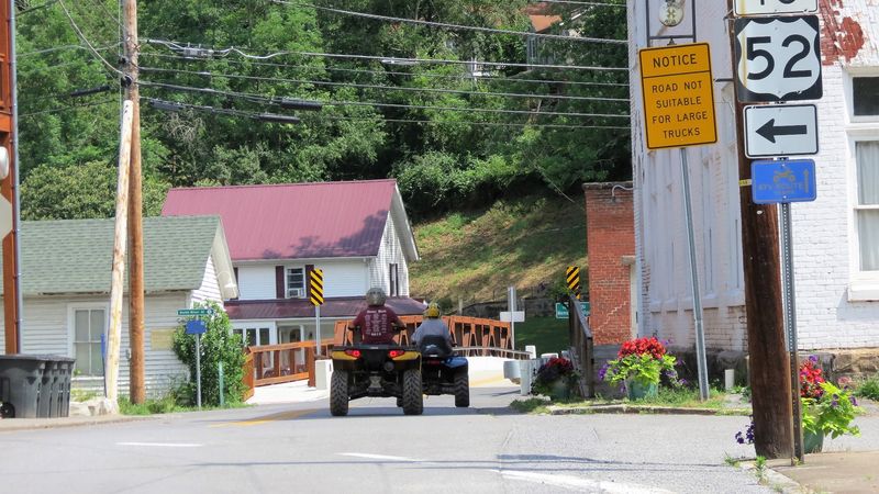
Few trail systems let you drive your UTV to lunch. Several towns near the Hatfield-McCoy Trails allow trail vehicles on certain streets, linking riders to restaurants, gas stations, and shops.
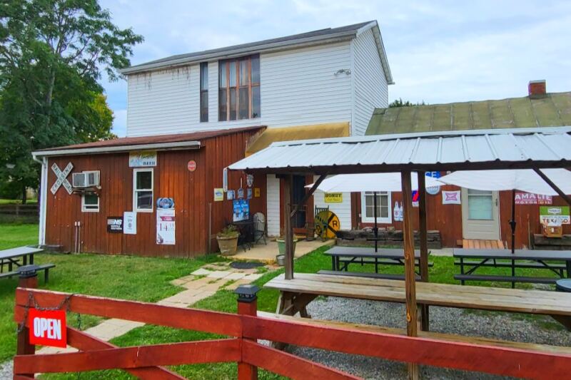
Towns like Gilbert, Man, Matewan, and Bramwell have embraced the riders who visit. You can spend the morning climbing ridges and the afternoon grabbing a meal downtown.
Each town sets its own rules for how and where machines can travel. Check local guidelines before leaving the trail so you stay legal and friendly with residents.
I like how this setup spreads visitors around. Instead of staying in one spot, riders support small businesses in many little communities.
Local food often becomes a highlight of the trip. Pizza, burgers, and homestyle meals give hungry riders a good reason to take a break.
The people in these towns are used to seeing muddy machines and dusty helmets. A friendly wave goes a long way.
Of course, after a long day of riding, the next question is where to park and rest for the night.
Cabins, Lodges, and a Converted Schoolhouse
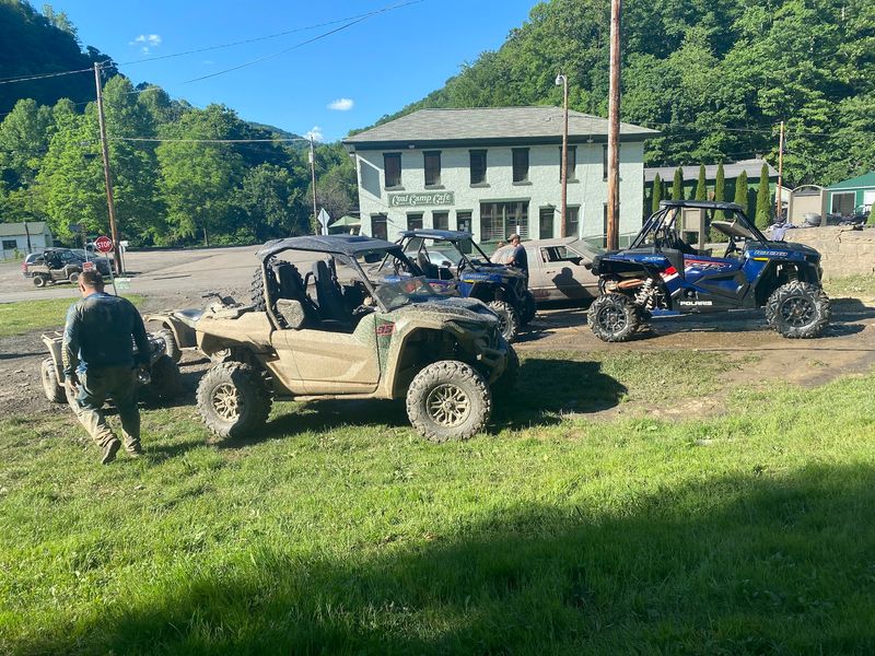
Sleeping right next to the trail changes everything. Many cabins, lodges, and riding parks sit close enough to trailheads that you can ride out without hitching a trailer.
Choices range from cozy rental cabins to campgrounds built for riders. Some places include wash stations so you can rinse off mud before parking for the night.
One memorable option in Gilbert is lodging inside a former school building. Old classrooms became guest rooms, and the large lot gives plenty of space for trailers.
Before booking, map the distance from your rental to the nearest trailhead. A few miles can make a big difference if your machine isn’t street legal in that area.
Wi-Fi is worth checking too. Cell signals can be weak in the hollows, so anyone planning to work remotely should confirm internet access ahead of time.
Booking early helps during spring and fall, since those seasons attract plenty of riders.
Once lodging is sorted, the next step is figuring out what you need to legally hit the trails.
Permits Before Pavement Ends
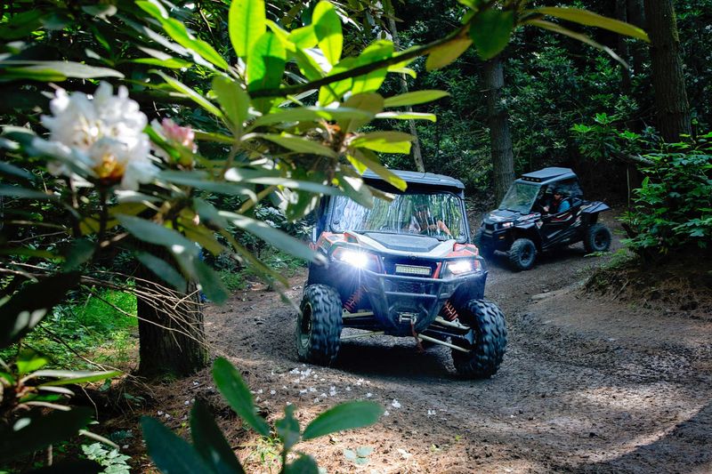
Every rider needs a trail permit. The permit is usually displayed on the machine and covers access to the full trail network for the year.
West Virginia residents and out-of-state riders pay different rates. You can buy permits online or from authorized sellers near the trails.
Helmets are required for all riders. Eye protection and sturdy clothing make sense too, since branches, dust, and rocks come with the territory.
Riders under 18 must follow extra rules, including age limits for certain machine sizes and supervision requirements. Checking the official rules before your trip prevents trouble at the trailhead.
Trails are patrolled, and staying sober behind the wheel is required. Rangers look out for safety and help when riders run into problems.
Machines need to be in good working order, with a spark arrestor and proper lights depending on the type.
I’d keep the permit, a printed map, and emergency contacts together in a dry bag. With paperwork handled, many first-timers wonder whether to ride alone or bring along an expert.
Guides and Rentals for First-Timers
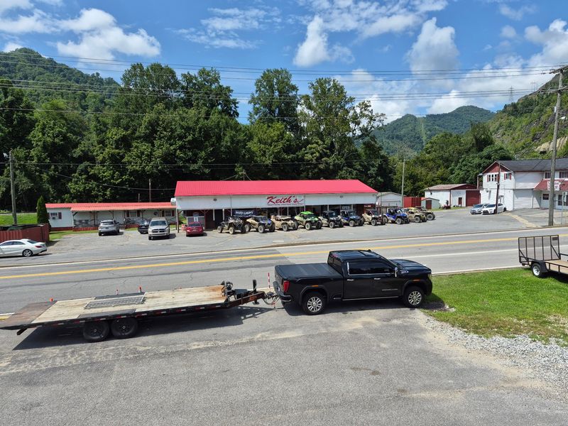
No machine at home? No problem.
Several rental companies near the trails offer ATVs and UTVs, with or without a guide.
Guided tours make a lot of sense for newer riders. A guide knows which routes match your skill level and can steer the group away from sections that might feel scary.
Some groups use a guide for the first day or two, then explore on their own. That way, they learn the trail habits and map system before heading out alone.
Rentals can be pricey, so compare options and ask what’s included. Helmets, permits, and fuel policies vary between companies.
Many experienced riders suggest that beginners ride with someone who knows the trails. Blind hills and tight turns can surprise anyone unfamiliar with the terrain.
Apps like onX Offroad can help with navigation, but download maps beforehand because signal is unreliable.
I can understand the appeal of a guide even for confident drivers. Local knowledge often leads to overlooks and side routes you’d never spot alone, and some of those routes pass through real history.
Feud Country History Along the Ride
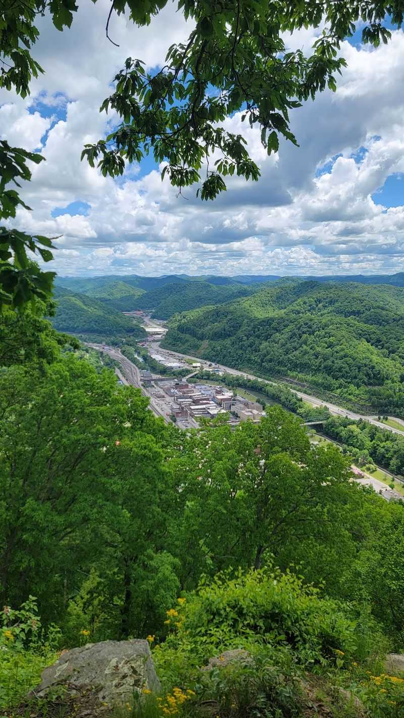
Long before engines roared here, two families made this region famous. The Hatfields of West Virginia and the McCoys of Kentucky carried on a bitter feud in the late 1800s along the Tug Fork River.
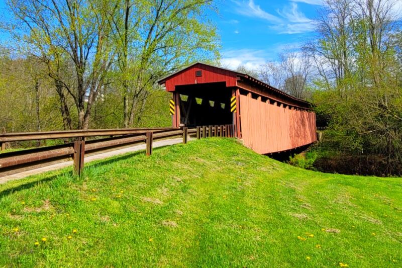
The trail network borrows their name, and riders pass through the same rugged country. History fans can visit sites connected to the feud in and around Matewan.
Matewan also played a role in coal mining labor history, including the 1920 Matewan Massacre era events tied to miners organizing for better conditions. The town has markers and a museum area that explain its past.
Coal shaped nearly every hollow in these counties. Many trails follow old mining and logging roads, so riding them gives a sense of how people once worked these mountains.
I find it meaningful that the same land now draws families on vacation. It shows how a region can write a new chapter without forgetting its roots.
Stopping at a few historic spots adds depth to a riding trip. Timing those stops well depends a lot on the season you choose.
Picking Your Season and Packing Smart
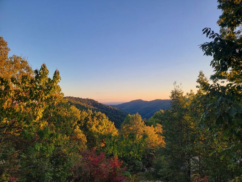
Fall leaves turn the ridges into bands of orange and red. Spring brings fresh green growth and comfortable riding temperatures, which is why many regulars return twice a year.
Summer is busy and warm, with dusty trails on dry days. Winter riding is allowed, but cold air at higher elevations calls for heavy layers and gloves.
Driving in can take patience. Winding mountain roads feel slow, especially at night or in fog, so arriving during daylight is a smart move.
Pack for a full day out. Water, snacks, a basic tool kit, rain gear, and a first aid kit can turn a minor issue into a small hiccup instead of a ruined afternoon.
Fuel planning matters too. Know where gas stations sit near your route before heading deep into the backcountry.
Respecting the land keeps trails open for everyone. Stay on marked paths, carry out trash, and yield where needed.
With over 1,000 miles to choose from, I’d expect most riders to leave with a list of trails still waiting for next time.
Share this story