Some places in Oklahoma look ordinary on a map, then turn out to hold a story that makes you want to read every record you can find. Out in the Panhandle sits a big dam built to create a lake, and the numbers behind it are surprising.
The water never rose as planned, and the reasons lead straight to a river, an aquifer, and a few decades of change. Here is what public records say about what happened.
What “never filled” actually means
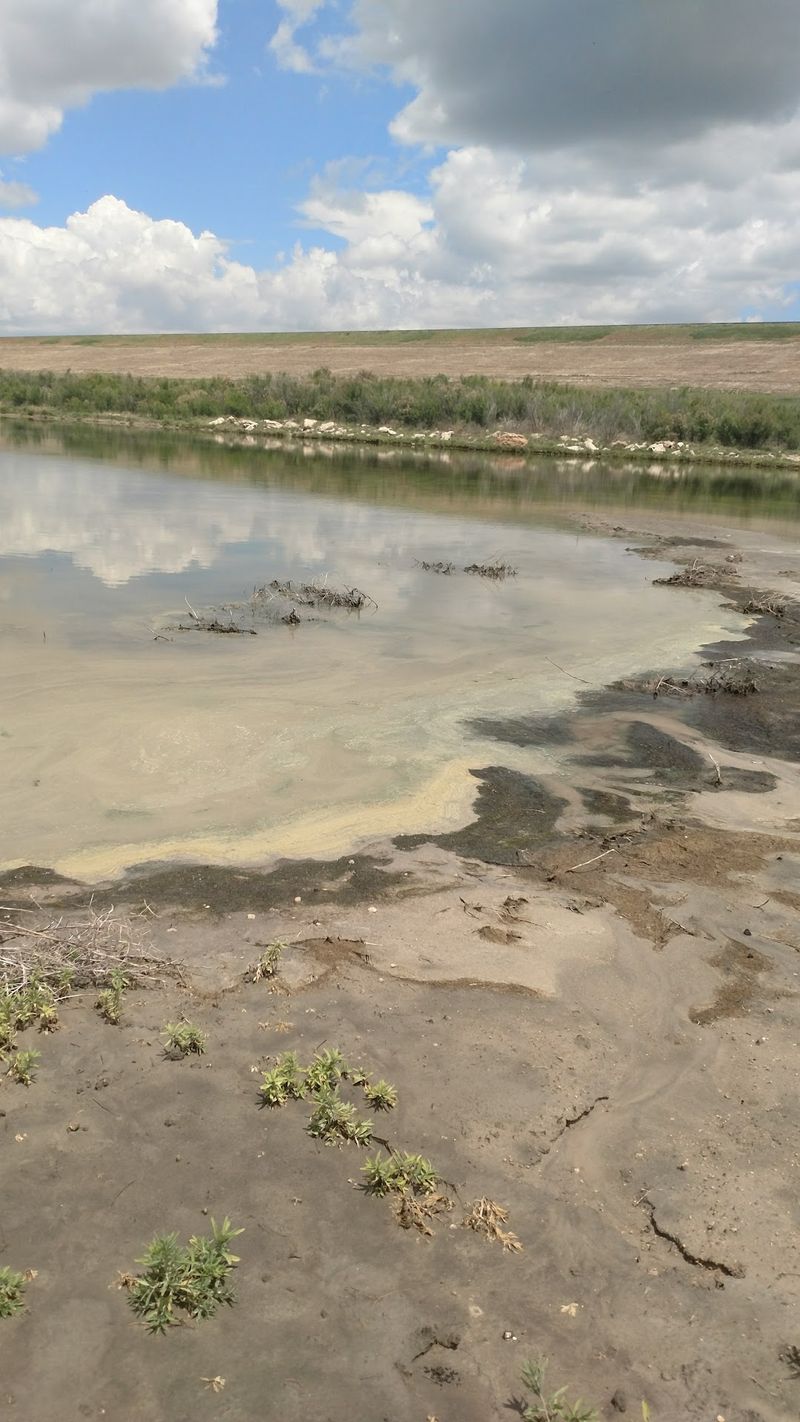
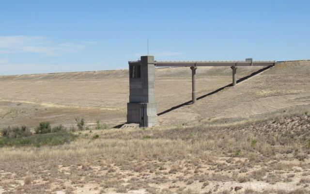
Optima Lake is a U.S. Army Corps of Engineers reservoir on the Beaver River in Texas County, Oklahoma.
Plenty of people say it never filled with water, and that phrase sticks because it sounds dramatic. It is also a bit off.
The more careful version is that Optima never reached its intended conservation pool. That pool is the planned storage level meant to supply water and support recreation.
According to a USGS scientific investigations report, the reservoir reached no more than 6 percent of conservation-pool storage during the period that report covers.
Six percent is a measured limit for one specific target. It tells us the lake stayed far below its goal.
It does not tell us that no water ever collected behind the dam, and it does not say the lake disappeared.
Think of it like a gas tank. A tank holding a sliver of fuel is not empty, but it is nowhere near the full level the car was designed around.
Optima is a reservoir that held some water while falling dramatically short of the plan.
That small correction changes the whole story. Instead of a vanished lake, we have a documented shortfall with causes that records can explain, and the next sections trace them one at a time.
A reservoir plan decades in the making
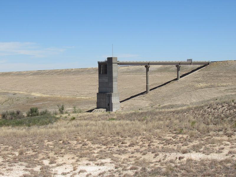
Long before anyone measured a shortfall, Optima was a promise on paper. Congress authorized the project in 1936, during an era when big plains reservoirs were seen as tools for taming floods and storing water.
Then came a long wait. According to Corps pertinent data for the lake, construction began in March 1966, and impoundment began in October 1978.
The dam is an earth-fill structure roughly 120 feet high, about 4.5 miles northeast of Hardesty in Texas County.
That is a span of more than four decades from authorization to the start of storing water. A lot can change on the High Plains in that time.
The project had four planned jobs. It was meant to provide flood control, water supply, recreation, and fish and wildlife benefits.
A lake with boats, anglers, and a dependable water source for nearby communities was part of the vision.
The Corps’ later disposition study looks back at that original package and weighs what the project actually delivered. Knowing the full list of promises makes it easier to see which ones held up and which ones did not.
The Beaver River’s flow changed
Reservoirs run on inflow, and Optima’s inflow shrank. The Beaver River, also called the North Canadian River, carried far less water as the dam was being built and in the years afterward.
That timing overlapped with the region’s irrigation era.
The Corps points to a main cause. In its disposition study materials, it attributes the sharply reduced flow primarily to increased municipal, industrial, and agricultural extraction from the Ogallala Aquifer.
Primary does not mean only, and other influences may have played a part.
The USGS also treats Optima as an example of how streamflow changed across the region. In its 2015 report, the agency ties the reservoir’s poor storage to the irrigated period that began in 1978.
Here is why groundwater matters to a river. Part of a river’s steady flow, called baseflow, can come from groundwater seeping in.
Pump the aquifer hard, and that quiet supply can fade.
Runoff is the second piece, meaning rain and snowmelt that actually reach the channel. A Corps planning document for the Canadian basin cautions that irrigation systems affected both baseflow and the runoff that gets to the river.
Local context fits this picture. OSU Extension describes the Ogallala as a major Panhandle water source, notes that irrigation is the region’s largest water use, and says the Beaver River can have low-flow or no-flow periods.
A reservoir fed by that river was always going to struggle.
The dam still provides flood-risk benefits
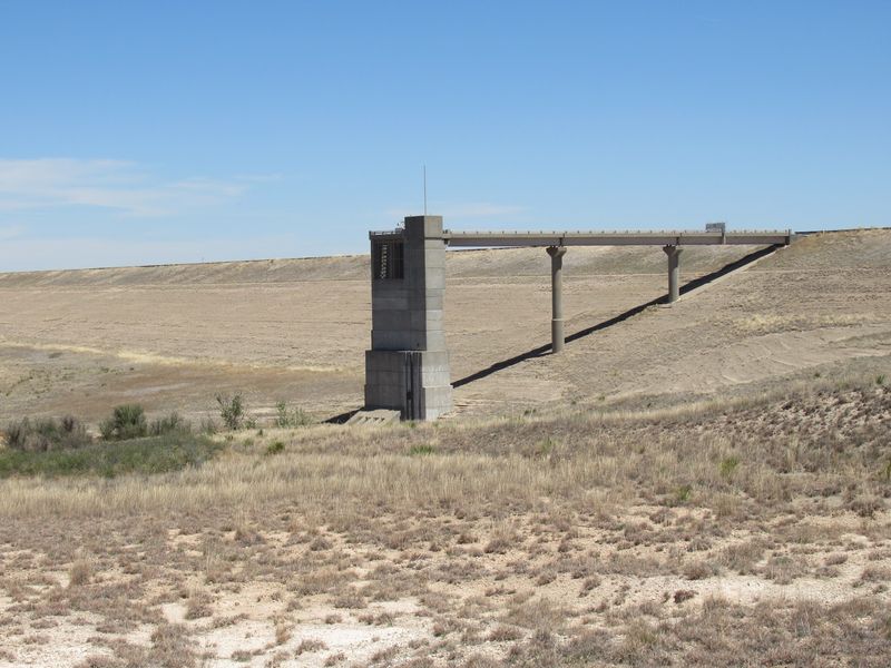
Calling Optima a total flop is tempting, but the records paint a more mixed picture. The project did not deliver the water supply that planners expected, and it did not become the water-based recreation spot people pictured.
Yet the dam is still standing and still doing a job. The Corps’ December 2024 disposition study found continued federal interest in the project and cited flood-risk-management benefits.
In plain terms, the structure can hold back high flows when heavy storms hit, which protects land downstream.
That is why the Corps says the dam warrants federal operation and maintenance. A dam can matter for flood protection even when a lake never forms the way its designers hoped.
Picture a storm cell stalling over the plains after a dry stretch. The river that has run thin for years can still surge, and a large embankment gives that surge somewhere to go.
So the fair scorecard has two columns. Water supply and lake recreation fall short of the original plan.
Flood-risk management remains a documented benefit.
Neither column cancels the other. Reading both is what turns a catchy complaint into an accurate story about a hardworking, if unusual, piece of Oklahoma infrastructure.
What visitors should expect today
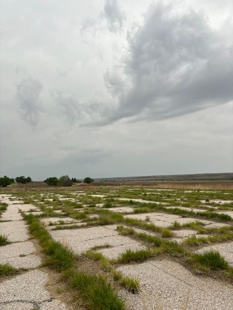
Planning a drive out to the Panhandle? Set your expectations before you fill the gas tank.
This is not a boat-ramp-and-picnic kind of lake day.
The Corps lists Angler Point, Hooker Point, and Hardesty Park on its Optima Lake recreation areas page as access points with services shut off. Prairie Dog Point is closed to the public.
Water-based recreation is generally unavailable, so do not count on boating or swimming.
Access details can change. Before you travel, check the Corps recreation status page for Oklahoma or contact the Fort Supply Lake Office to confirm what is open.
One more distinction helps. Optima National Wildlife Refuge is a separate, wildlife-focused destination.
The U.S. Fish and Wildlife Service describes opportunities there such as wildlife watching and photography.
Those refuge activities do not mean the reservoir offers typical lake recreation. Treat them as two different kinds of trip.
A sensible plan is to bring binoculars, a full tank, water, and flexibility. Confirm access first, and enjoy the wide-open Panhandle scenery for what it is.
A reservoir that missed its planned pool
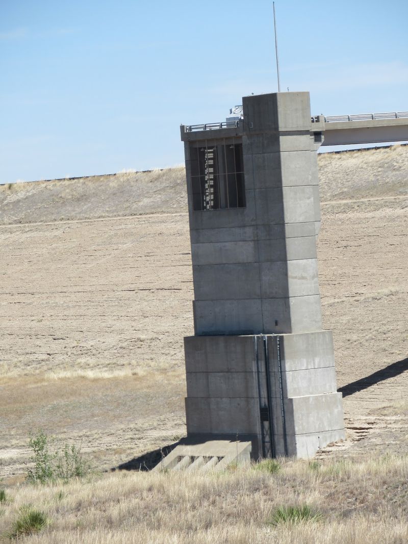
Optima never reached its planned conservation pool, and USGS records put its high mark at 6 percent. Records do not support saying it never held water or that it vanished.
The unmet water-supply and recreation hopes trace back to a river that carried far less water, while the Corps still sees flood-management value in the dam.
No mystery needed. Just a big plan, a changing river, and the paperwork that tells the tale.
Share this story