Our planet is full of geographic surprises, and some countries take things to a whole new level. From a nation completely surrounded by another country to islands that stretch across all four hemispheres, Earth’s geography is far more fascinating than most people realize.
These 15 countries have features so unusual that they challenge what we think we know about maps, borders, and the natural world. Get ready to see the world a little differently.
1. Lesotho
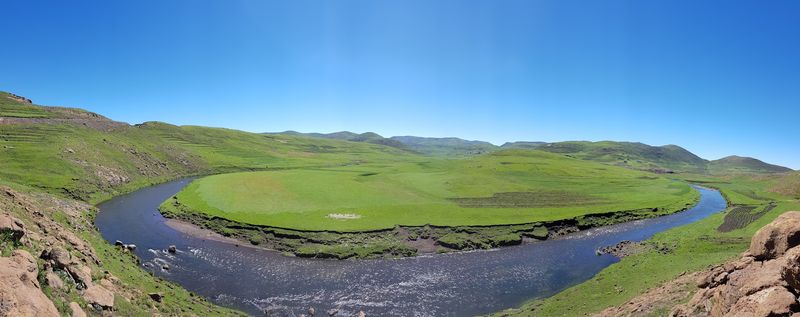
Most countries have at least some lowland areas near the coast or along river valleys. Lesotho breaks that rule entirely.
Every single square kilometer of its territory sits above 1,000 meters in elevation, making it the only country on Earth with that distinction.
Located in southern Africa, Lesotho is completely surrounded by South Africa. Its terrain is rugged and mountainous, with the Drakensberg range forming much of its eastern border.
The highest point, Thabana Ntlenyana, reaches about 3,482 meters.
Because of its altitude, Lesotho has a cooler climate than most of its African neighbors. Snow is not unusual in winter, which surprises many people who picture Africa as entirely hot and dry.
The country is sometimes called the “Kingdom in the Sky” because of its remarkable elevation profile.
2. Ecuador
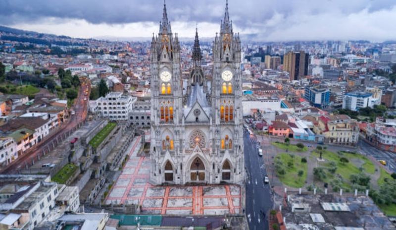
Here is a geography fact that surprises almost everyone: the tallest mountain from Earth’s center is not Mount Everest. Thanks to the planet’s equatorial bulge, Chimborazo in Ecuador holds that record.
Its summit is about 6,384 kilometers from Earth’s center, beating Everest by more than 2 kilometers.
Chimborazo is a dormant volcano standing at 6,263 meters above sea level. It sits in the Andes mountain range in central Ecuador.
Scientists and mountaineers are drawn to it precisely because of its unique position on the globe.
Ecuador itself is a country packed with geographic variety. It contains Amazon rainforest, Pacific coastline, Andean highlands, and the famous Galapagos Islands.
Few countries of its size offer such a wide range of environments. Chimborazo is just one piece of a remarkably diverse geographic puzzle.
3. Chile
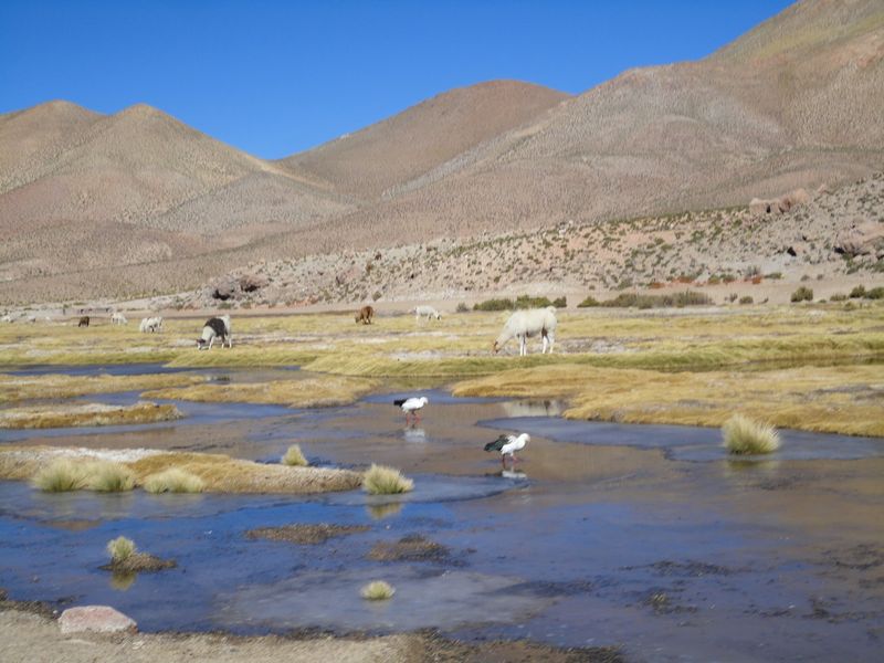
Chile is shaped unlike almost any other country on the map. Stretching roughly 4,300 kilometers from north to south, it runs along the entire western edge of South America.
Yet at its widest point, the country averages only about 177 kilometers across.
That extreme shape creates an astonishing variety of climates within one country. The Atacama Desert in the north is one of the driest places on Earth.
Patagonia in the south is cold, windy, and covered with glaciers. Central Chile has a Mediterranean-style climate perfect for wine grapes.
Chile also borders Argentina, Bolivia, and Peru, and its long coastline faces the Pacific Ocean. The Andes mountains run along much of its eastern side, acting as a natural wall.
Few countries pack so many different landscapes into such a narrow strip of land. Chile is a geographic marvel hiding in plain sight on any world map.
4. Bolivia
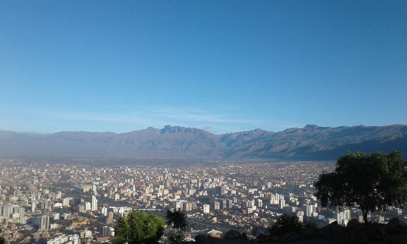
Standing on Bolivia’s Salar de Uyuni feels like standing on another planet. This massive salt flat covers about 10,582 square kilometers, making it the largest of its kind anywhere on Earth.
During the rainy season, a thin layer of water turns the surface into a giant mirror reflecting the sky above.
Salar de Uyuni formed thousands of years ago when prehistoric lakes dried up and left behind thick layers of salt. Today, the salt crust is estimated to contain billions of tons of salt, along with significant lithium deposits that are important for modern battery technology.
Bolivia is a landlocked country in South America with no access to the ocean, but it makes up for that with remarkable geography. The Andes mountains, the Amazon basin, and the Altiplano plateau all share space within its borders.
Salar de Uyuni is simply the most photogenic piece of a stunning geographic collection.
5. South Africa
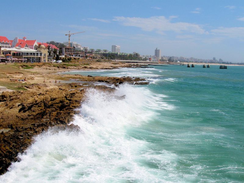
South Africa has a geographic quirk that looks almost impossible on a map. The country completely surrounds another fully independent nation, Lesotho, on all sides.
That makes Lesotho an enclave, a country entirely enclosed within another country’s borders.
This situation came about through historical and colonial boundary decisions made in the 19th century. Lesotho, then called Basutoland, was a British protectorate that maintained its own identity while South Africa developed around it.
When both countries became independent, the unusual border arrangement stayed in place.
South Africa itself is geographically diverse, with coastlines on both the Atlantic and Indian Oceans. It has deserts, grasslands, mountain ranges, and fertile valleys.
The country’s geography supports a wide variety of wildlife, making it one of the world’s top safari destinations. Its relationship with Lesotho remains one of the most distinctive political geography examples anywhere on the globe.
6. The Gambia
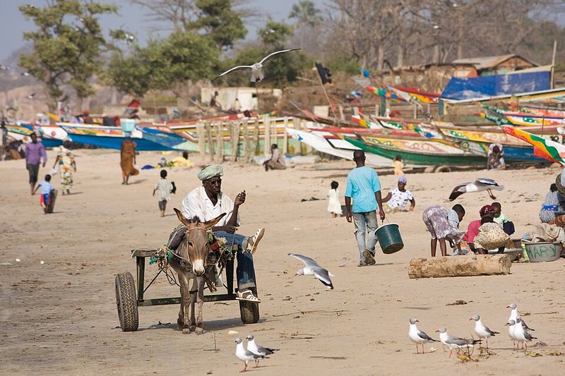
The Gambia is one of Africa’s smallest countries, but its shape is genuinely one-of-a-kind. The country stretches as a long, thin strip through the heart of Senegal, and its territory largely follows the path of the Gambia River.
At its widest, the country extends only about 50 kilometers from the riverbanks.
This unusual shape is a direct result of British colonial influence. British traders and explorers claimed the land along the river for trade purposes, and the borders were drawn to reflect that narrow riverine territory.
Senegal surrounds The Gambia on three sides, with the Atlantic Ocean forming the western edge.
Despite its small size, The Gambia has a lively culture and economy closely tied to the river. Fishing, tourism, and agriculture all depend heavily on the Gambia River’s flow.
The country’s geography is a living reminder of how colonial history can shape a nation’s physical form for generations to come.
7. Kazakhstan
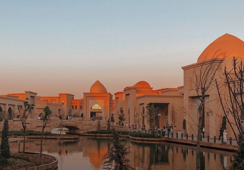
Kazakhstan holds a record that is easy to overlook on a globe: it is the world’s largest landlocked country. Covering about 2.7 million square kilometers, it is bigger than Western Europe and yet has no coastline on any ocean.
The Caspian Sea touches its western border, but that body of water is itself landlocked.
The country sits at the heart of Central Asia, bordered by Russia, China, Kyrgyzstan, Uzbekistan, Turkmenistan, and the Caspian Sea. Its landscape shifts from flat steppes and semi-desert in the south to forests and mountains in the east and north.
The Kazakh Steppe is one of the largest dry grasslands on Earth.
Kazakhstan’s landlocked status has shaped its history, trade routes, and economy. The ancient Silk Road passed through this region, connecting China to Europe long before modern transportation existed.
Today, the country is a major producer of oil and minerals, making geography central to its economic identity.
8. Indonesia
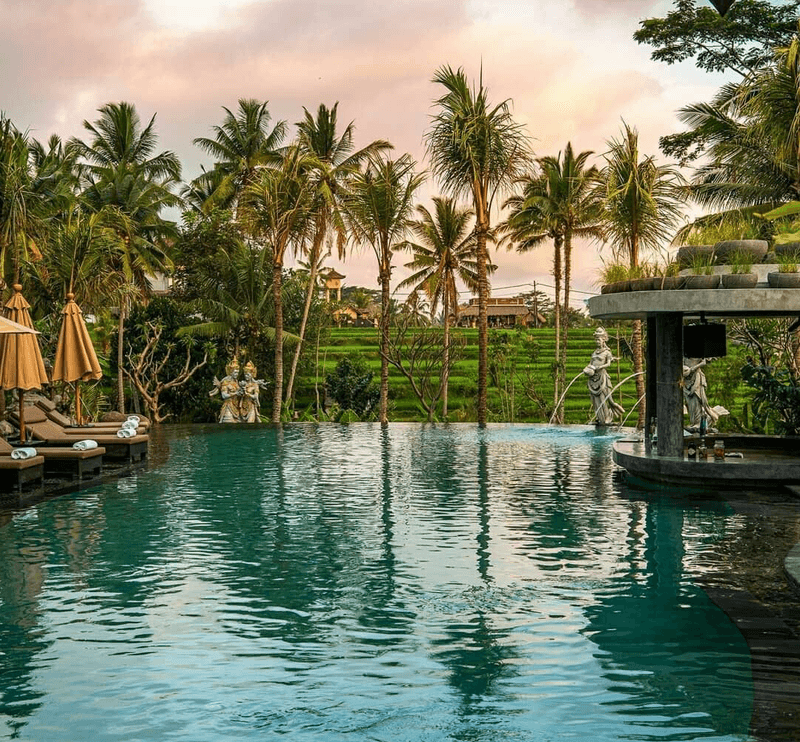
Indonesia is not just one island. It is an archipelago made up of more than 17,000 islands, making it the largest island country in the world.
Spread across a wide stretch of the equatorial Pacific and Indian Oceans, it connects Southeast Asia to Australia in a chain of land and sea.
The country sits along the Pacific Ring of Fire, one of Earth’s most volcanically and seismically active zones. Indonesia has more active volcanoes than any other country, including the famous Krakatoa and Mount Merapi.
Earthquakes and eruptions are a regular part of life for millions of Indonesians.
Despite the geological risks, the volcanic soil is incredibly fertile, supporting lush tropical forests and productive farmland. Indonesia is one of the most biodiverse countries on the planet, home to orangutans, Komodo dragons, and thousands of plant species.
Its geography is both dangerous and extraordinarily generous at the same time.
9. Russia
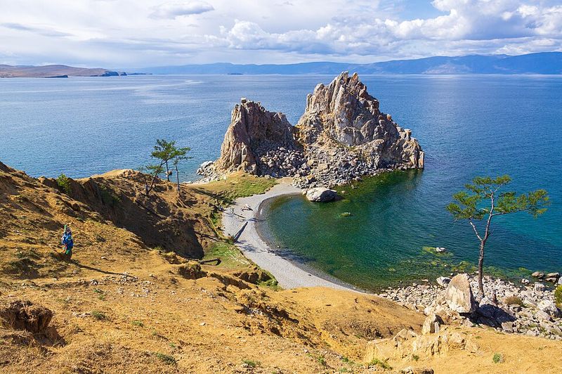
Russia is so large that when it is morning in one part of the country, people in another part are already going to sleep. The country spans 11 time zones, stretching from Eastern Europe all the way to the Pacific Ocean.
No other country on Earth covers that many time zones.
With a total area of about 17.1 million square kilometers, Russia is the world’s largest country by land area. It covers roughly one-eighth of Earth’s total land surface.
Its territory includes frozen Arctic tundra, vast boreal forests called taiga, mountain ranges, and lowland plains.
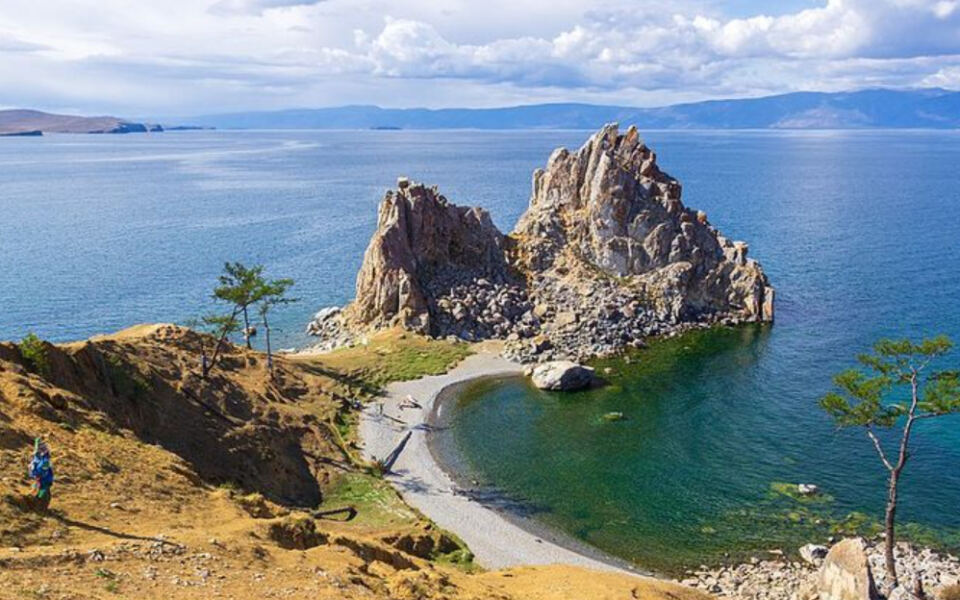
Lake Baikal, located in Siberia, holds about 20 percent of the world’s unfrozen fresh surface water. Russia also shares borders with 14 countries, more than any other nation.
Its sheer size creates enormous challenges for transportation, communication, and governance. Understanding Russia’s geography helps explain much of its history and its role in global affairs.
10. Norway
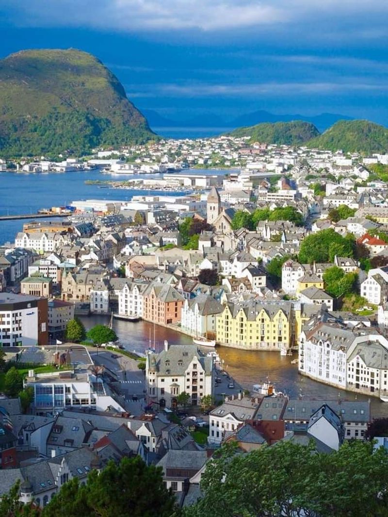
Norway’s coastline is one of the most complex on Earth. Thousands of fjords, islands, and inlets cut deeply into the land, creating a shoreline so fragmented that measuring its total length is genuinely difficult.
Estimates put Norway’s coastline at around 100,000 kilometers when all the islands and fjord edges are included.
Fjords form when glaciers carve deep valleys into the land, and then the sea fills those valleys as the ice retreats. Norway’s fjords are some of the deepest and most dramatic in the world.
Sognefjord, the longest, stretches about 204 kilometers inland and reaches depths of over 1,300 meters.
The fjords are not just beautiful scenery. They have shaped Norwegian culture, fishing traditions, and settlement patterns for thousands of years.
Viking communities built their boats and villages along these sheltered waterways. Today, the fjords draw millions of tourists every year, making them both a geographic wonder and an economic asset for modern Norway.
11. Namibia
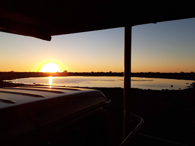
The Namib Desert along Namibia’s Atlantic coast is widely recognized as one of the oldest deserts on Earth. Scientists estimate it has been arid for somewhere between 55 and 80 million years, making it far older than most of the world’s other deserts.
While the Sahara is larger, the Namib is believed to be much more ancient.
The desert stretches for about 2,000 kilometers along the coast, from Angola through Namibia and into South Africa. Its towering orange sand dunes, some reaching over 300 meters high, are among the tallest in the world.
The Sossusvlei area, with its dramatic dune-filled clay pans, is one of the most photographed landscapes anywhere.
Despite its extreme dryness, the Namib supports a surprising variety of life. Fog rolling in from the cold Atlantic Ocean provides moisture for beetles, lizards, and unique plants like the Welwitschia, which can live for over a thousand years.
Age and resilience define this remarkable desert.
12. Iceland
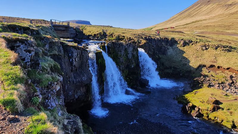
Iceland sits on top of one of the most geologically active spots on the planet. The Mid-Atlantic Ridge runs directly through the country, marking the boundary where the North American and Eurasian tectonic plates are slowly pulling apart.
Iceland is the only place on Earth where this underwater ridge rises above sea level on land.
Because the plates are spreading apart, Iceland grows slightly wider every year. Geysers, hot springs, and volcanic eruptions are common features of daily life there.
The famous geyser Strokkur shoots boiling water high into the air roughly every few minutes. Volcanic activity has shaped every part of the country’s landscape.
The same geothermal energy that causes all this activity also powers much of Iceland’s electricity and heating systems. Nearly 90 percent of Icelandic homes use geothermal heat.
The country has turned its dramatic geology into a practical energy advantage, making it one of the greenest nations on Earth in terms of renewable energy use.
13. Botswana
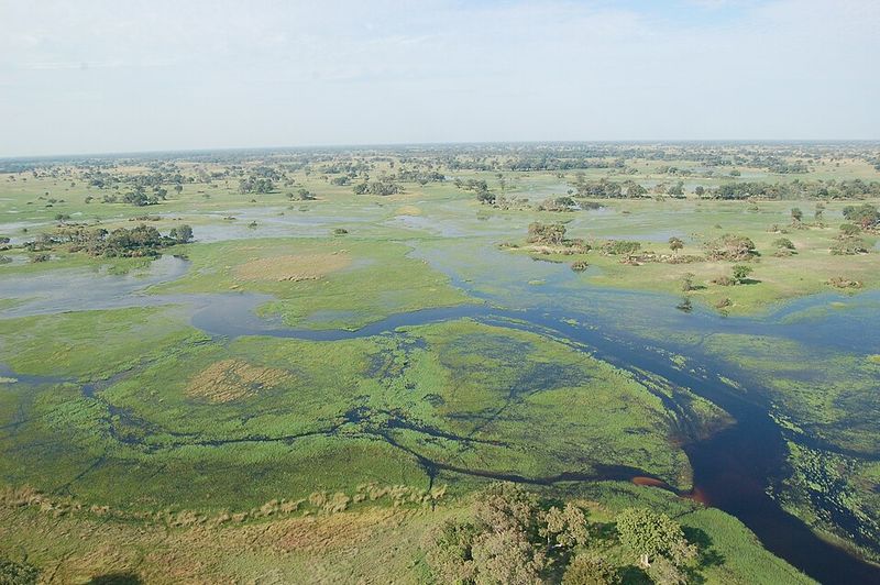
Most rivers flow into an ocean, a sea, or another river. The Okavango River in southern Africa does something completely different.
Instead of reaching the sea, it fans out across the flat Kalahari Desert in Botswana and disappears into the sand, forming one of the world’s largest inland deltas.
The Okavango Delta covers roughly 15,000 square kilometers during flood season. Water from Angola’s rainy season travels hundreds of kilometers before spreading across Botswana’s dry interior.
The result is a seasonal wetland paradise that attracts enormous numbers of animals, including elephants, lions, hippos, and hundreds of bird species.
The delta is a UNESCO World Heritage Site, recognized for its ecological importance and unique geographic character. Local communities have depended on its resources for generations, and today it supports one of Africa’s most celebrated wildlife tourism industries.
The Okavango is proof that a river does not need to reach the sea to be extraordinary.
14. Uzbekistan
Being landlocked means a country has no coastline. Being doubly landlocked means every country surrounding it is also landlocked.
Uzbekistan is one of only two countries in the world with that distinction, sharing the title with tiny Liechtenstein in Europe. To reach an ocean from Uzbekistan, you must cross at least two international borders.
Uzbekistan is surrounded by Kazakhstan, Kyrgyzstan, Tajikistan, Afghanistan, and Turkmenistan, all of which are themselves landlocked. This geographic isolation has had major effects on trade and transportation throughout the country’s history.
The ancient Silk Road was partly so important because it provided a land-based route for trade in a region cut off from maritime commerce.
Today, Uzbekistan is working to overcome its geographic challenges through rail connections and regional trade agreements. The country holds significant natural gas reserves and is one of the world’s top cotton producers.
Its ancient cities of Samarkand and Bukhara remain cultural treasures that draw visitors from around the world.
15. Kiribati
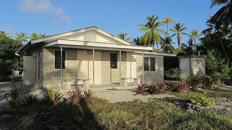
Kiribati is a small Pacific island nation with a geographic story unlike any other. After the country requested an adjustment to the International Date Line in 1995, its islands ended up spread across all four hemispheres, north, south, east, and west of the equator and prime meridian.
No other country spans that full geographic range.
The nation consists of 33 atolls and reef islands scattered across a vast area of the central Pacific. Before the date line adjustment, some islands were on one calendar day while others were on the next, creating logistical problems for a single nation.
Moving the line unified the country under one date.
Kiribati faces serious challenges from rising sea levels caused by climate change. Most of its islands sit only about two meters above sea level, making them extremely vulnerable to flooding and erosion.
The government has taken the unusual step of purchasing land in Fiji as a potential future home for its citizens. Kiribati’s geography makes climate change not just a concern but a matter of national survival.
Share this story