Where a country sits on the map can shape its entire history, economy, and global influence. Some nations are lucky enough to sit at natural crossroads, beside critical waterways, or at the meeting point of major continents.
These geographic advantages often translate into trade wealth, military strength, and cultural exchange. Read on to explore 15 countries whose locations give them a remarkable edge on the world stage.
1. United States
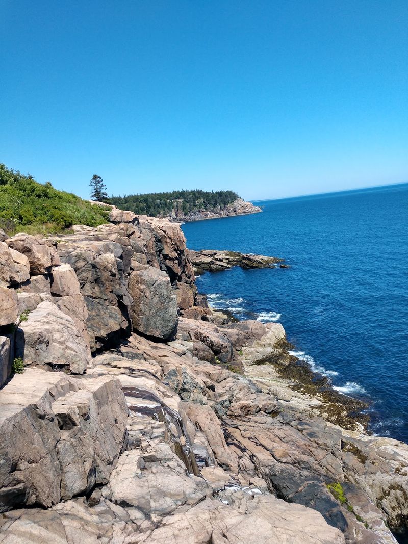
Stretching from the Atlantic to the Pacific, the United States enjoys one of the most enviable geographic positions on the planet. Few countries can claim direct access to two major oceans while also bordering the Gulf of Mexico, which opens up even more trade routes to Latin America and beyond.
The country’s vast network of navigable rivers, anchored by the Mississippi River system, allows goods to move cheaply and efficiently across the interior. This natural infrastructure gave early American commerce a huge head start.
Having only two land neighbors, Canada and Mexico, means the U.S. faces far fewer border security challenges than most large nations. That combination of ocean buffers and friendly borders has made the country one of the most geographically secure and economically connected places in the world.
2. France
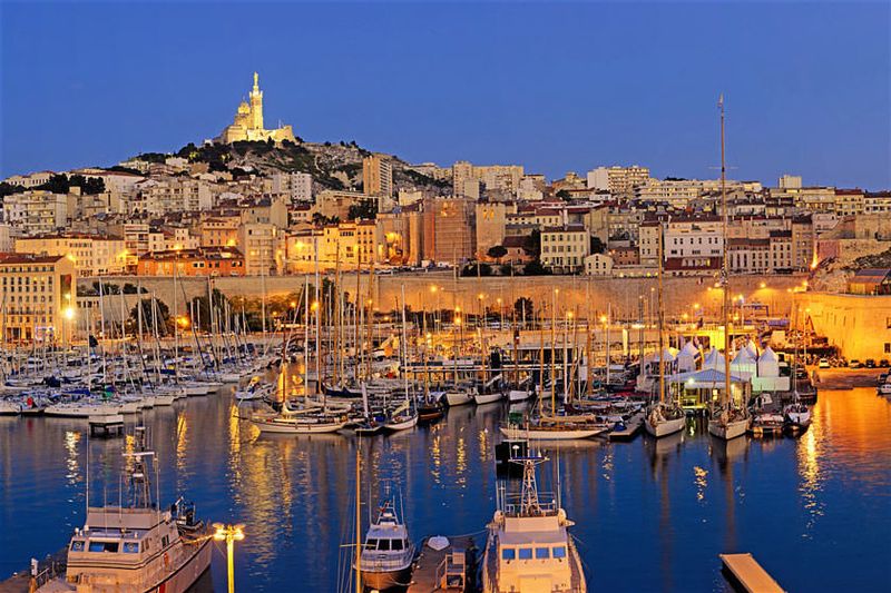
France has long punched above its weight on the world stage, and a big reason is where it sits on the map. Bordered by the Atlantic Ocean, the Mediterranean Sea, and the English Channel, it connects three of Europe’s most important maritime zones from a single territory.
That triple coastal access means French ports have historically served traders, navies, and explorers heading in almost every direction. Cities like Marseille and Bordeaux grew rich precisely because of this geography.
France also sits at the heart of Western Europe, making it a natural land bridge between Northern Europe and the warmer south. Goods, people, and ideas moving between Scandinavia and the Mediterranean often pass through French territory.
That central position has shaped French culture, politics, and economic power for centuries, and it continues to make France one of Europe’s most strategically valuable nations.
3. Turkey
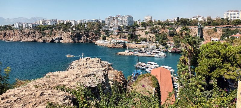
Turkey is one of those rare countries that literally sits on two continents. Straddling Europe and Asia, it serves as a physical land bridge between the East and the West, a role that has made it one of history’s most contested and celebrated territories.
What truly sets Turkey apart is its control over the Bosporus and Dardanelles straits. These two narrow waterways are the only passages connecting the Black Sea to the Mediterranean, meaning all maritime traffic between those regions must pass through Turkish-controlled waters.
That kind of geographic leverage is almost impossible to overstate. Countries bordering the Black Sea, including Russia and Ukraine, depend on Turkish goodwill to move their naval and commercial fleets.
Istanbul, which straddles both continents, became one of history’s greatest cities largely because of this position. Turkey’s location remains one of the most strategically powerful in the entire world.
4. United Kingdom
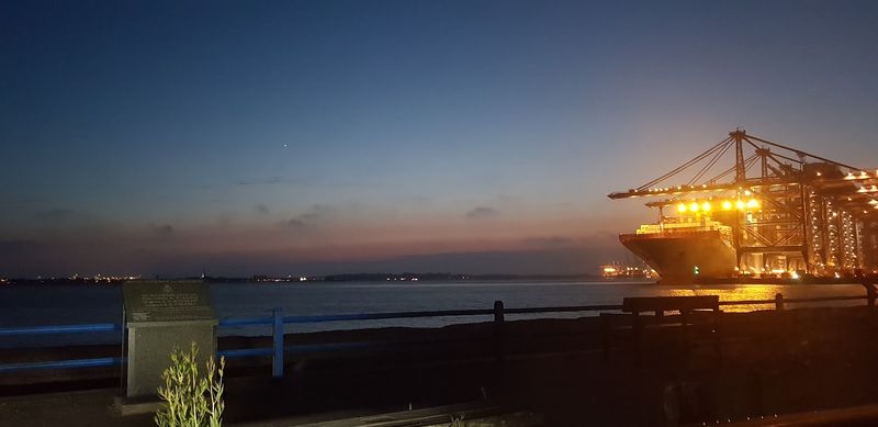
Being an island nation sounds like a limitation, but for the United Kingdom, it turned out to be one of history’s greatest strategic gifts. Sitting just off the northwestern coast of continental Europe, Britain was close enough to trade and engage with its neighbors but separated enough to avoid most land invasions.
That natural moat helped the UK develop independently, build a powerful navy, and eventually project power across the globe. At its peak, the British Empire controlled roughly a quarter of the world’s land surface, a feat made possible in large part by its island geography and maritime focus.
Today, the UK still benefits from its position between the Atlantic and Europe. London remains one of the world’s top financial centers, partly because it sits in a time zone that overlaps with both American and Asian trading hours.
Geography continues to work quietly in Britain’s favor.
5. Egypt
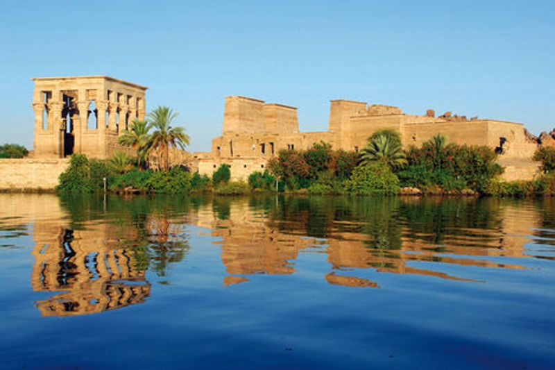
Egypt controls one of the most important pieces of real estate in the entire global economy: the Suez Canal. This roughly 120-mile waterway connects the Red Sea to the Mediterranean Sea, allowing ships to travel between Europe and Asia without sailing all the way around Africa.
Before the canal opened in 1869, ships had to add thousands of miles to their journeys. Today, around 12 to 15 percent of global trade passes through the Suez Canal every year.
That makes Egypt a gatekeeper for a massive portion of international commerce.
Egypt’s location also places it at the meeting point of Africa and Asia, with the Sinai Peninsula serving as a physical land bridge between the two continents. This position has made Egypt a center of civilization, trade, and geopolitical importance for thousands of years.
Few countries in history have benefited so consistently from where they happen to sit on the map.
6. Singapore
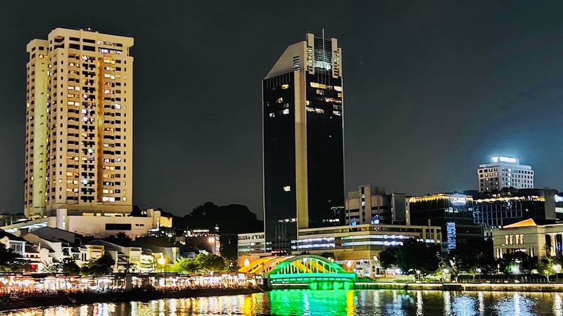
Singapore is a tiny city-state, barely larger than a major urban area, yet it ranks among the world’s most important trade hubs. The secret is its location beside the Strait of Malacca, one of the busiest and most critical shipping lanes on Earth.
The Strait of Malacca is the main passage connecting the Indian Ocean to the South China Sea and the broader Pacific. Roughly 40 percent of global trade passes through it each year, including massive amounts of oil heading to China, Japan, and South Korea.
Singapore sits right at the eastern entrance to this strait.
That position turned a small fishing village into a global powerhouse in just a few decades. Today, Singapore’s port is consistently ranked among the world’s busiest.
Its location also made it a natural stopover for airlines, adding aviation to its long list of geographic advantages. Small country, enormous strategic value.
7. Netherlands
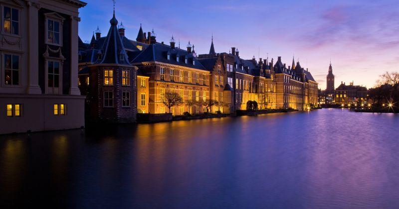
The Netherlands may be small, but its geographic position has made it one of Europe’s most economically powerful nations for centuries. Sitting at the mouth of the Rhine and Meuse rivers where they empty into the North Sea, the Dutch occupy a natural gateway into the heart of Western Europe.
Those rivers connect the Netherlands to Germany, France, Switzerland, and beyond. Goods arriving by sea at Rotterdam, Europe’s largest port, can be loaded onto river barges and shipped deep into the continent without ever touching a road.
That efficiency has made Rotterdam a cornerstone of European trade for generations.
The Dutch have also historically been master engineers, reclaiming land from the sea and building canal systems to maximize their geographic advantages. Their location at the intersection of sea and river trade routes helped fund the Dutch Golden Age, one of the most prosperous periods in any nation’s history.
Geography made it possible.
8. Spain
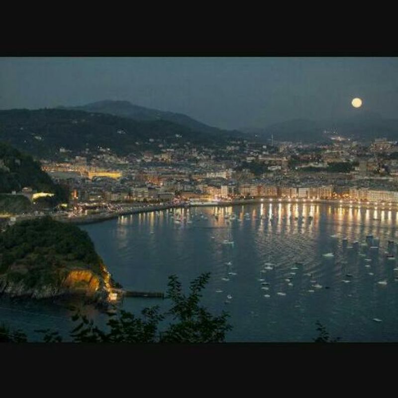
Spain occupies a corner of Europe that few other countries can match for sheer geographic variety and strategic value. Its coastlines stretch along both the Atlantic Ocean and the Mediterranean Sea, giving it access to two of the world’s most important bodies of water from a single national territory.
Perhaps even more significant is Spain’s position right beside the Strait of Gibraltar, the narrow passage where the Atlantic meets the Mediterranean. All ships traveling between those two bodies of water pass through this corridor, making Spain a natural observer and participant in one of the world’s busiest maritime routes.
Spain’s location also placed it perfectly for the Age of Exploration. Sitting at the western edge of Europe with Atlantic ports ready for long ocean voyages, Spanish explorers were among the first Europeans to reach the Americas.
That geographic head start helped build one of history’s largest empires and left a cultural footprint that still spans the globe.
9. Germany
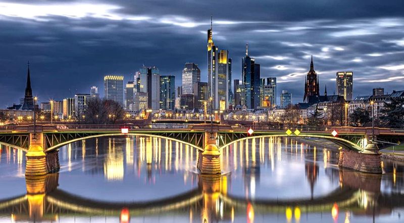
Germany sits at the geographic center of Europe, and that position has shaped the country’s entire modern story. Bordered by nine different nations, Germany is more connected to its neighbors by land than almost any other country on the continent.
That central location means goods, people, and ideas flowing across Europe almost always pass through German territory. Major European highways, rail lines, and pipelines converge on Germany from every direction.
Its access to both the North Sea and the Baltic Sea adds maritime reach to its already impressive land connections.
Economically, Germany’s position has been transformative. The Rhine River, which flows through the country’s industrial heartland, has carried trade goods since ancient Roman times.
Today, Germany is Europe’s largest economy and the world’s third-largest exporter. A lot of that success traces back to the simple fact that Germany sits where it does, right in the middle of one of the world’s wealthiest regions.
10. Italy
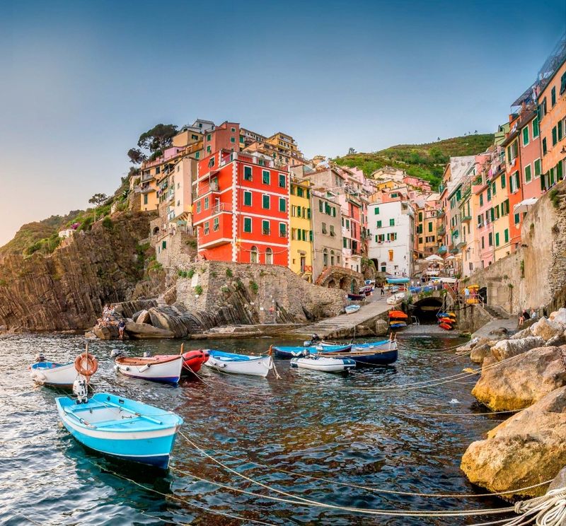
Italy juts dramatically into the center of the Mediterranean Sea like a boot kicking into the water, and that shape tells you something important about its geography. No other major European country extends so far into the Mediterranean, placing Italy within relatively short sailing distance of North Africa, the Balkans, and the Middle East.
That central Mediterranean position made Italy the cradle of Western civilization’s most influential empire. Rome could project power in almost every direction because the sea was essentially its highway.
Trade, military campaigns, and cultural exchange all flowed outward from the Italian peninsula.
Modern Italy still benefits from this position. Its ports handle significant amounts of cargo moving between Europe and the southern Mediterranean.
The island of Sicily sits close enough to Tunisia that it serves as a stepping stone between the two continents. Italy’s geography has always given it an outsized role in Mediterranean affairs, and that remains true today.
11. Panama
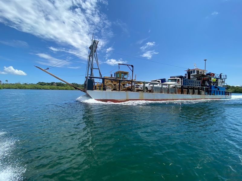
Panama is one of the most geographically significant countries in the Western Hemisphere, and it earns that title despite being only about the size of South Carolina. The country forms the narrow land bridge connecting North and South America, making it a natural meeting point of two continents.
The Panama Canal, which cuts across the country’s midsection, is what truly elevates Panama’s global importance. Opened in 1914, the canal allows ships to pass between the Atlantic and Pacific Oceans without sailing around the tip of South America.
That shortcut saves thousands of miles and enormous amounts of time and fuel.
About 5 percent of all global maritime trade passes through the Panama Canal each year. The canal has been expanded multiple times to accommodate larger modern ships.
For such a small nation, Panama punches extraordinarily hard in global trade and logistics, all because of where it sits on the map.
12. Morocco
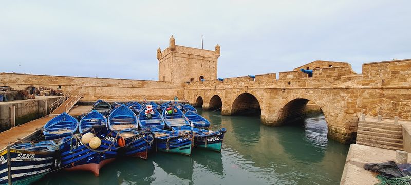
Morocco occupies one of the most interesting corners of the world map. Sitting at the northwestern tip of Africa, it faces both the Atlantic Ocean and the Mediterranean Sea while sitting just 9 miles across the Strait of Gibraltar from Spain and continental Europe.
That closeness to Europe has made Morocco a cultural and commercial crossroads for centuries. Arab, Berber, African, and European influences have all blended in Moroccan society precisely because the country sits where so many worlds meet.
Trade caravans from sub-Saharan Africa once passed through Morocco on their way to European markets.
Today, Morocco is positioned to benefit from growing trade between Europe and Africa. Its Atlantic ports give it access to shipping routes heading toward the Americas, while its Mediterranean coast connects it to European and Middle Eastern markets.
Few African nations enjoy such a naturally advantageous position at the intersection of so many major trade corridors.
13. India
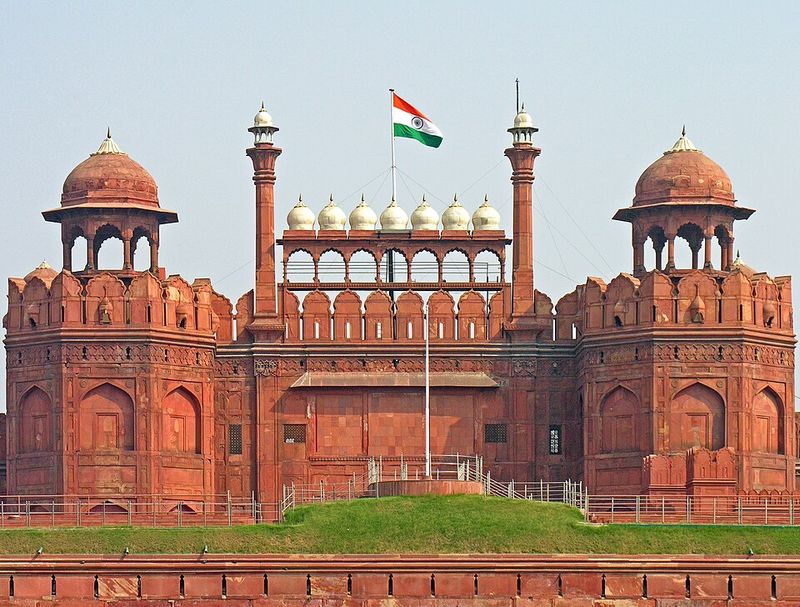
India’s geography is so distinctive that the ocean surrounding it was named after the country. The Indian subcontinent projects boldly southward into the Indian Ocean, placing it roughly equidistant between the Middle East, East Africa, and Southeast Asia.
That central position in one of the world’s busiest ocean basins is a rare geographic gift.
Historically, India sat at the heart of ancient maritime trade networks. Spices, textiles, and precious goods moved between Arab traders to the west and Chinese merchants to the east, with Indian ports serving as essential stopping points along the way.
Today, India’s location gives it strategic naval reach across the Indian Ocean. About 80 percent of global oil trade passes through nearby sea lanes.
India’s eastern coast faces the Bay of Bengal, opening connections to Southeast Asia, while its western coast overlooks the Arabian Sea and Persian Gulf. Few countries are positioned so centrally within a region of such enormous global economic importance.
14. Denmark
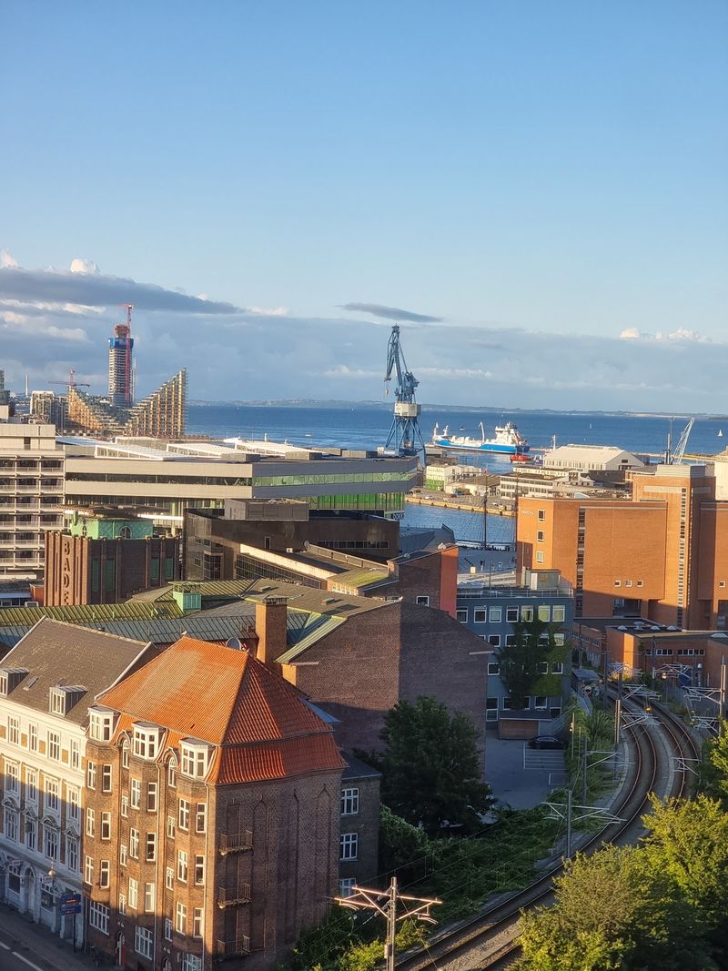
Denmark may not be the first country that comes to mind when thinking about geographic power, but its location is quietly remarkable. Sitting at the tip of the Jutland Peninsula, Denmark controls the narrow straits that connect the North Sea to the Baltic Sea, making it the gatekeeper of Scandinavian maritime access.
For centuries, Denmark collected tolls from every ship passing through those straits, a practice known as the Sound Dues. At its peak, this toll revenue accounted for a significant portion of the Danish crown’s income.
Ships from all over Europe had no choice but to pay if they wanted to reach Baltic ports.
Denmark also acts as a geographic bridge between Scandinavia and continental Europe. Its southern border connects to Germany, while its islands stretch toward Sweden.
That position has made Denmark a natural transit point for trade, migration, and cultural exchange between Northern Europe and the broader continent for thousands of years.
15. Greece
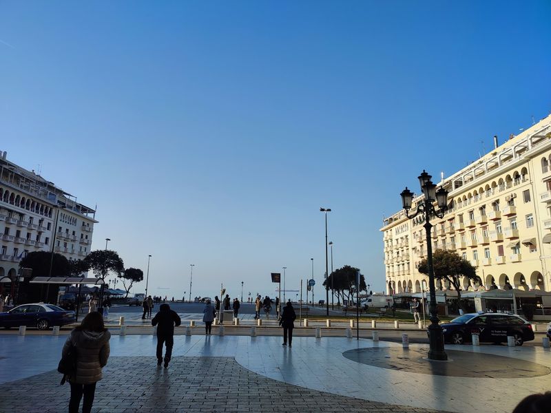
Greece sits at one of the ancient world’s most important crossroads, and that position still carries weight today. Perched at the southern tip of the Balkan Peninsula, Greece faces the eastern Mediterranean while maintaining land connections to the rest of Europe to the north.
The country’s roughly 6,000 islands, about 230 of which are inhabited, scatter across the Aegean and Ionian seas like stepping stones between Europe and the eastern Mediterranean world. Those islands gave ancient Greek sailors natural waypoints for trade voyages heading toward Egypt, the Levant, and the Black Sea.
Greek ports still handle significant shipping traffic today, and the country’s merchant fleet is consistently ranked among the largest in the world. Greece’s position near the Suez Canal’s western approaches also makes it relevant to global shipping routes.
Historically and geographically, Greece has always been where Europe reaches out toward the broader world, and that dynamic has not changed.
Share this story