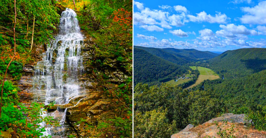
Deep in north-central Pennsylvania, more than 114,000 acres of rugged wilderness hide towering waterfalls, crystal-clear swimming holes, dramatic canyon overlooks, and unusual rock formations. Miles of trails wind through forested ridges and secluded valleys, offering everything from easy waterfall stops to challenging multi-day hikes.
With clear mountain streams, remnants of old logging communities, and seemingly endless backcountry to explore, this sprawling forest is one of Pennsylvania’s most rewarding wilderness escapes. The waterfalls may draw you in, but they are only the beginning.
A Forest That Earns Its Reputation From the First Step
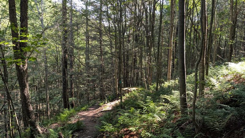
Most forests announce themselves gradually, but Loyalsock makes its case immediately. The moment the pavement gives way to gravel and the tree canopy closes overhead, you understand why this place has earned a 4.8-star rating from hundreds of visitors who keep coming back.
The main district office sits at 6735 US-220, Dushore, PA 18614, and the staff there are genuinely helpful when it comes to maps, current trail conditions, and permit questions. Their hours run Monday through Friday, 8:00 AM to 4:00 PM, and a quick call at 570-946-4049 before your trip can save you a lot of guesswork on the road.
The forest stretches across a significant portion of Pennsylvania’s Endless Mountains region, managed by the Department of Conservation and Natural Resources Bureau of Forestry. Its 114,552 acres encompass rugged ridgelines, deep valleys, and a creek network that feeds some of the most photogenic scenery in the entire Mid-Atlantic. The scale of it takes a moment to fully absorb.
Waterfalls Around Nearly Every Bend
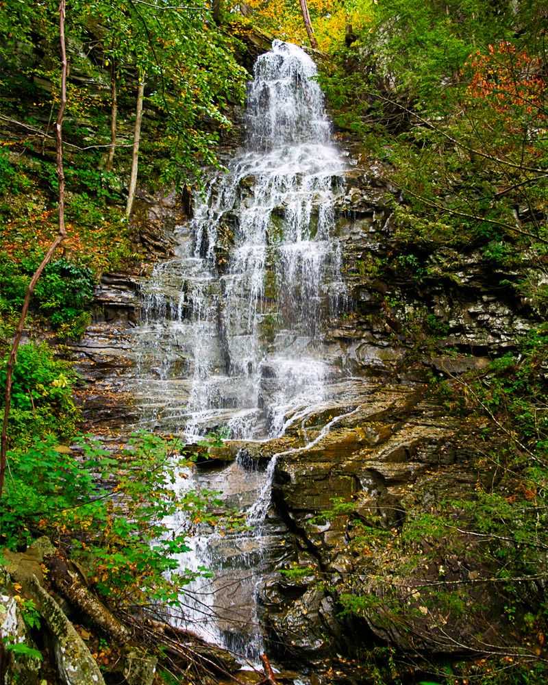
Few forests in Pennsylvania can match the sheer number of waterfalls tucked inside Loyalsock, and that variety is what makes waterfall hunting here feel less like a checklist and more like a genuine adventure. Angel Falls is the showstopper, a 70-foot cascade that drops dramatically through a narrow gorge, and reaching it requires a hike that feels entirely worth the effort.
Dutchman Falls sits conveniently near Route 220, making it accessible for visitors who want a taste of the forest’s liquid artistry without committing to a long trail. Dry Run Falls offers another easy reward, while Jacoby Falls and the multi-tiered Dutters Run Falls reward those willing to wander a bit further from the parking area.
Rock Run Valley deserves special mention here. The water running through it is crystal clear, tumbling over numerous small falls and pooling in spots that invite you to stop, sit, and simply listen. The sound of moving water becomes the forest’s constant soundtrack, and honestly, it never gets old.
Canyon Vistas That Stop You Mid-Stride
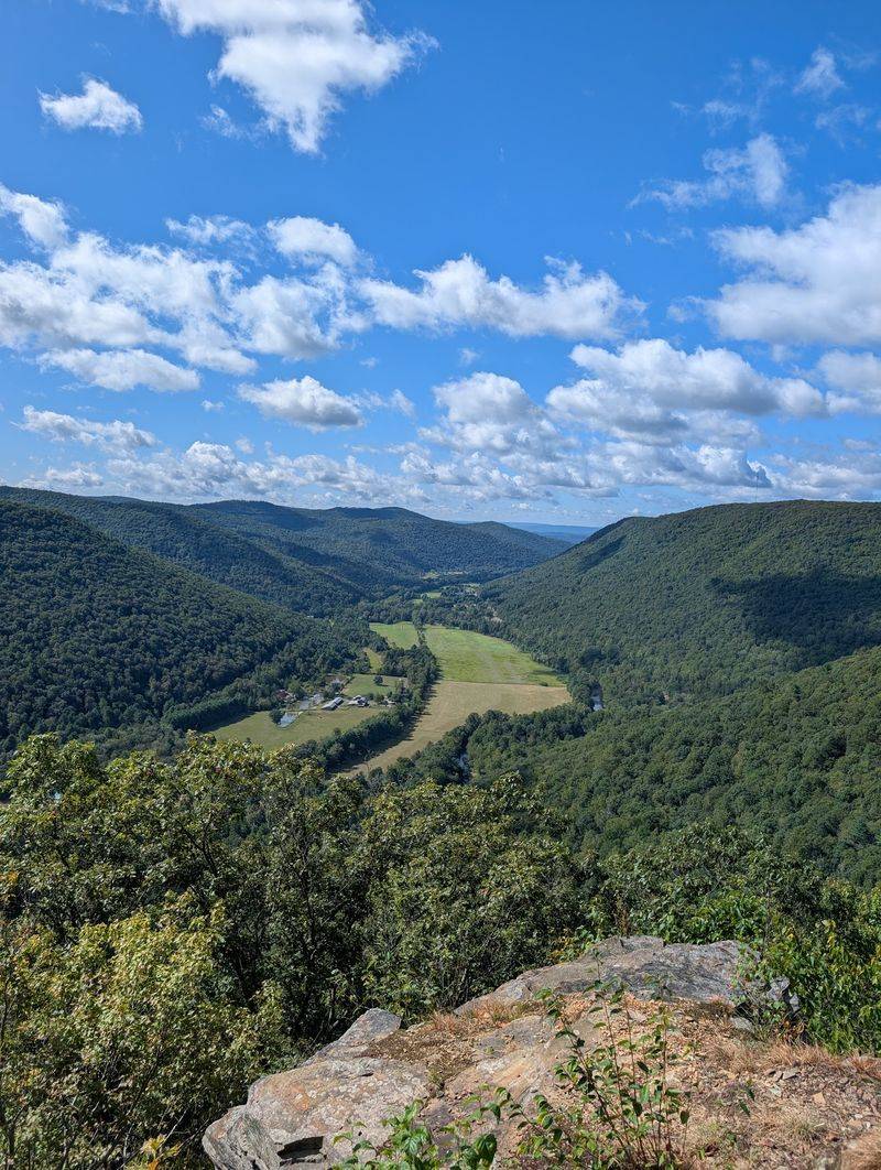
High Knob Overlook is the kind of place that makes you reach for your camera before you even finish catching your breath. The view from up there stretches nearly 25 miles across a rolling sea of forested ridges, and on a clear October morning, the fall color turns the whole panorama into something almost unrealistic.
The Loyalsock Canyon Vista, found within Worlds End State Park at the forest’s edge, offers a different but equally dramatic perspective. From that overlook, you can watch the Loyalsock Creek far below as it carves its way through the valley, the water catching light in flashes between the trees. Getting there via Mineral Spring Road requires careful driving, but the payoff is undeniable.
Beyond these two anchors, the forest holds a surprising number of additional viewpoints: Band Rock Vista, Bodine Mountain Vista, Forksville Vista, Sharp Top Vista, and several others. Each one frames the landscape differently, and visiting more than one in a single day gives you a real sense of just how varied this terrain truly is.
The Loyalsock Trail and Its 59-Mile Challenge
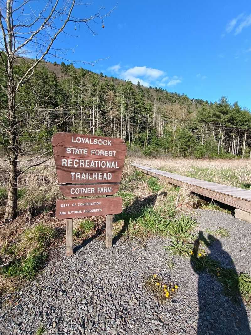
Serious hikers talk about the Loyalsock Trail the way distance runners talk about a marathon they have not yet finished but absolutely intend to. This 59-mile backpacking route traverses the full length of the forest, crossing mountain ridges, dropping into creek valleys, and climbing back out again with a relentlessness that demands both physical preparation and genuine respect for the terrain.
The trail is blazed with yellow paint marks and passes through some of the most remote sections of the forest, where cell service disappears entirely and the only sounds are wind, water, and your own footsteps. Completing the full route typically takes three to five days depending on your pace and how often you stop to take in the views, which will be frequently.
Day hikers can access shorter segments of the LT as well, sampling the experience without committing to the full route. The section near The Haystacks and the stretch along Rock Run are particularly popular starting points. If the 59-mile route sparks your curiosity, the Old Logger’s Path offers a compelling alternative worth exploring next.
Old Logger’s Path and the Ghost of Masten
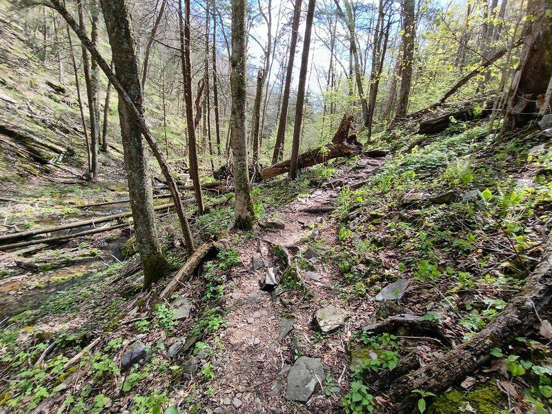
There is something quietly haunting about hiking a trail that follows the footprint of a vanished industry. The Old Logger’s Path is a 27-mile loop near the former lumber settlement of Masten, a town that no longer exists except in historical records and the faint traces left on the landscape. Walking its old railroad grades and logging roads, you are essentially retracing the routes that timber crews used over a century ago.
The trail passes through second-growth forest that has reclaimed what was once heavily logged hillside, and the recovery is remarkable. Expansive ridgetop views reward the climbs, and the stretch where Yellow Dog Run meets Rock Run is widely considered one of the most beautiful spots along the entire route. Lean-tos are scattered along the path for backpackers who want a roof overhead.
Hikers should wear long pants on this trail, particularly in summer, as stinging nettle is common in the lower sections. The trail is well-blazed and relatively easy to follow, though downed trees and seasonal washouts can occasionally require some route-finding patience. A solid offline map is always a smart addition to your pack.
Rock Run Valley and the Clearest Water in the Forest
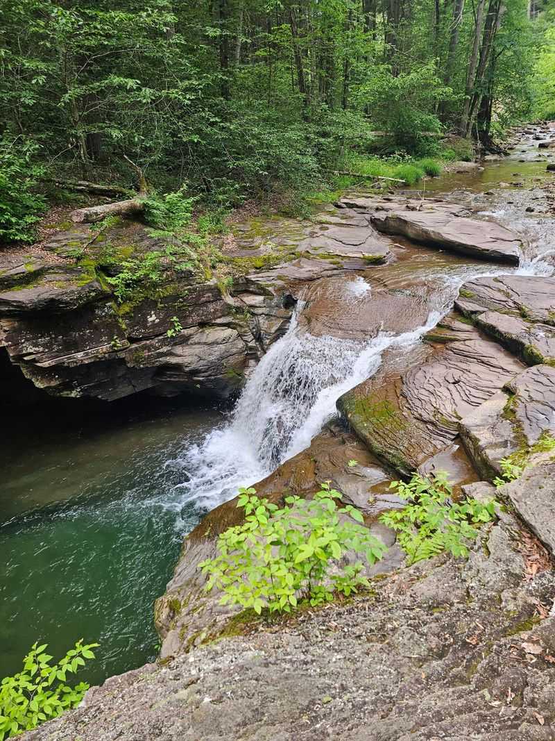
Rock Run has a reputation that precedes it, and unlike many places that fail to live up to their advance billing, this one delivers completely. The water here is startlingly clear, the kind of clear that makes you stop and look twice because it barely seems real. It flows over smooth rocks and through shaded pools that range from shallow and quick to deep and inviting.
The valley it carves is narrow and forested, with hemlock trees leaning over the banks and sunlight filtering through in long, shifting columns. On a warm summer afternoon, the pools along Rock Run become some of the most refreshing swimming spots in the entire forest, popular with locals who know exactly where to find the best entry points.
Fishing is another draw here, as the creek holds a healthy population of wild trout that reward patient anglers. The road running alongside Rock Run provides reasonable vehicle access, though the surface is unpaved and conditions can vary by season. Anyone who spends time in this valley will understand why it consistently appears on short lists of the forest’s finest places.
The Haystacks and a Geological Puzzle Worth Solving
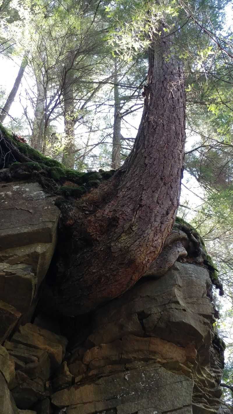
Not every highlight in Loyalsock involves looking up at a waterfall or out across a ridgeline. Some of the most interesting scenery sits right at creek level, and The Haystacks is the best example of that. These large, mound-shaped boulders rise from the bed of Loyalsock Creek near Laporte, creating a formation that looks more like a sculptor’s project than a natural occurrence.
Geologists point to the erosive forces of the creek over thousands of years as the explanation, but standing beside these formations on a sunny afternoon, the science feels almost beside the point. The boulders glisten when wet, and the water rushing between them creates a constant, low roar that adds to the atmosphere of the place.
The Haystacks and Dutchman Falls Trail, a 4.2-mile route that connects both features, is one of the most popular moderate hikes in the forest. The trail involves some rocky terrain and creek crossings, so sturdy footwear is genuinely necessary rather than just recommended. Arriving early on summer weekends helps secure parking and gives you the formations largely to yourself in the quieter morning hours.
Camping Options From Primitive to Peaceful
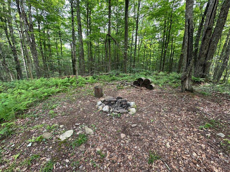
A night in the Loyalsock State Forest hits differently than a night at a typical developed campground. There are no crowds of RVs humming with generators here. The designated roadside camping areas are simple by design, often featuring just a fire ring and a picnic table, and the surrounding forest provides everything else you could want in terms of atmosphere.
Backpack campers have the freedom to set up primitive sites throughout most of the forest, provided they follow a few important rules. Campsites must be established at least 25 feet from any trail and 100 feet from any water source. Open fires are prohibited between March 1st and May 25th, and camping within sight or sound of any waterfall is not allowed, a rule that protects both the natural environment and the experience of other visitors.
Equestrian campers have a dedicated trailhead and camping area off World’s End Road, which also provides access to the forest’s 52-mile bridle trail system. For reservations and current permit requirements, contacting the district office ahead of time prevents surprises upon arrival. The sound of Loyalsock Creek nearby makes falling asleep remarkably easy.
Seasons That Transform the Same Landscape Completely
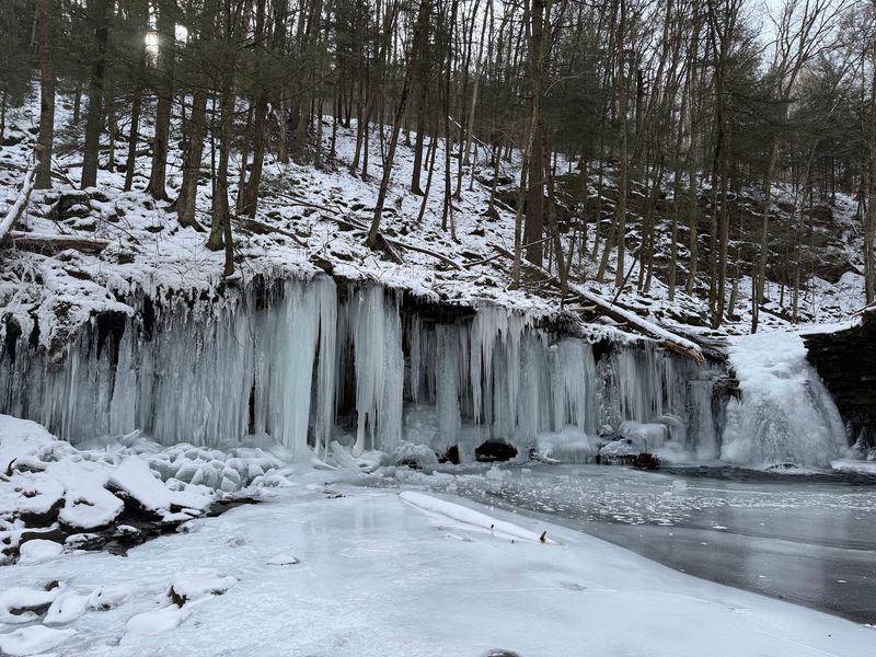
Returning to the same forest in different seasons is one of the best ways to understand a place, and Loyalsock rewards repeat visits with genuinely different experiences depending on when you arrive. Early June brings Pennsylvania’s state flower, the mountain laurel, into full bloom across the hillsides, covering the understory in delicate clusters of pink and white that make even well-traveled trails feel fresh.
Early October is when the hardwood canopy ignites. The ridge views that are impressive in summer become truly spectacular when every tree is running through its full color range simultaneously. Hikers who time a Loyalsock Trail section hike to coincide with peak foliage often describe it as one of the better decisions they have made outdoors.
Winter opens the forest to snowmobilers and cross-country skiers, with nearly 130 miles of forest roads and 16 miles of designated trails available when snow conditions allow. Spring brings rushing creeks and fresh green growth, though campfire restrictions apply through May. Each season essentially offers a different version of the same remarkable place, which is a rare quality in any destination.
History Written Into the Landscape Itself
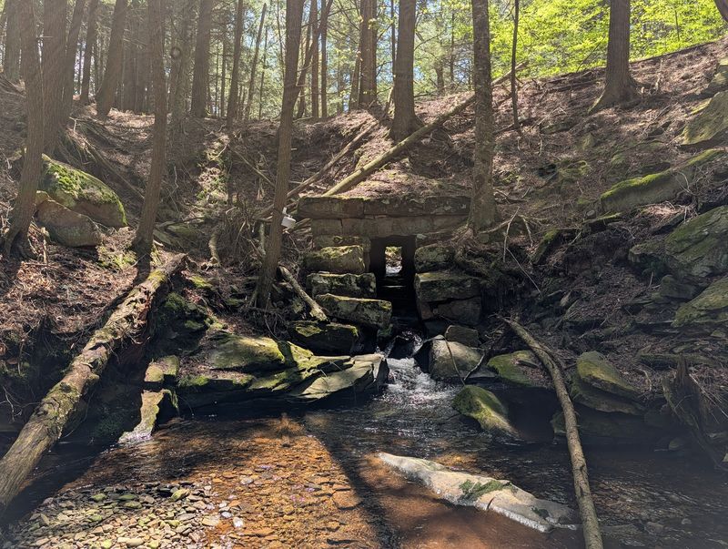
The Loyalsock State Forest did not always look the way it does today. Much of the land was acquired from the Central Pennsylvania Lumber Company in the early 1930s, after decades of intensive logging had stripped the hillsides. The forests that now feel ancient and untouched are in fact second-growth woodlands that have been regenerating for roughly a century, which makes their current density and beauty all the more impressive.
Within the McIntyre Wild Area, the ruins of a 19th-century mining settlement sit quietly beneath the returning forest canopy. Stone foundations and remnants of structures are visible to those who know where to look, offering a tangible connection to the people who once lived and worked in this remote terrain. The Civilian Conservation Corps also left its mark here, constructing Sones Pond in the 1930s as part of the New Deal era effort to restore and improve public lands.
Band Rock Vista carries a particularly charming historical footnote: the overlook reportedly takes its name from a tradition of local bands performing there for community gatherings more than a century ago. That detail transforms a scenic stop into something slightly more layered and worth pausing over.
Practical Gear and Planning Tips Before You Head Out
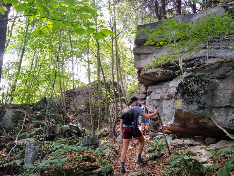
A little preparation goes a long way in a forest this size, especially since cell service is unreliable throughout much of the interior. Downloading offline maps through an app like AllTrails or Gaia GPS before leaving home is one of the most useful things you can do, and having a printed topo map as a backup is never a bad idea. The trails range from easy creek-side walks to genuinely demanding ridge routes, so matching your trail choice to your actual fitness level matters.
Sturdy hiking boots with ankle support are worth the investment for most of the terrain here, particularly on the Loyalsock Trail and the Old Logger’s Path where rocky descents are common. Layers of clothing make sense in any season, as temperatures can shift noticeably between valley floors and ridge tops. Carrying more water than you think you need is always the right call on longer routes.
The district office at 6735 US-220, Dushore, PA 18614, is reachable by phone at 570-946-4049 during weekday business hours and remains the most reliable source for current trail conditions, fire restrictions, and camping permit requirements. A two-minute call before your trip can prevent several hours of frustration on the road.
Share this story