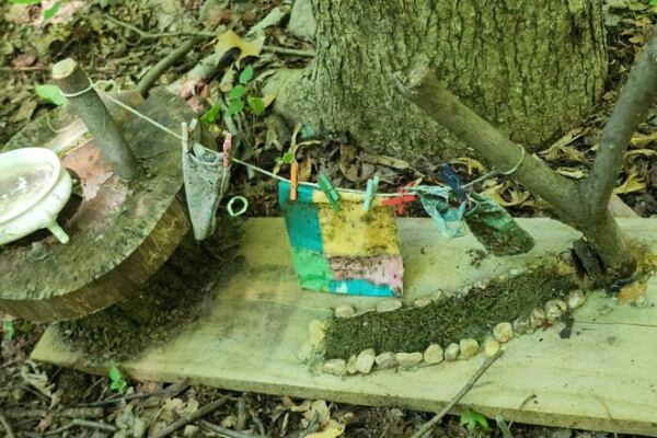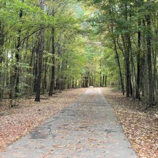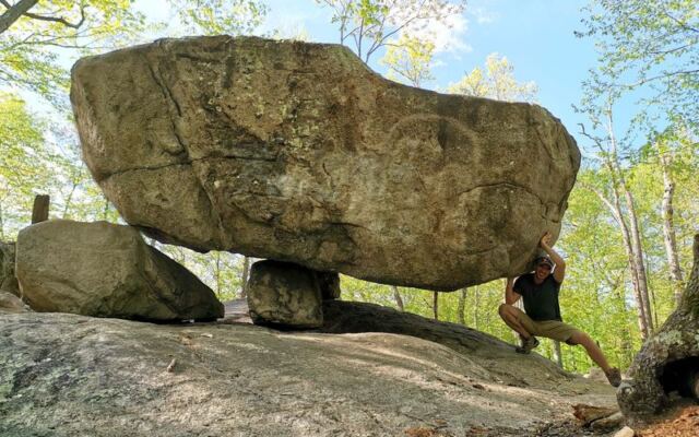
An ordinary hiking plan gets a lot more interesting when the destination includes a giant boulder balanced on three smaller stones. In New Jersey, a wooded trail leads to exactly that kind of discovery, with rocky climbs and several possible routes along the way.
The unusual formation gives the walk a clear goal, but the surrounding forest offers reasons to take your time. A little preparation helps turn a curious stop into a well-planned outdoor outing.
A County Forest With an Unusual Destination
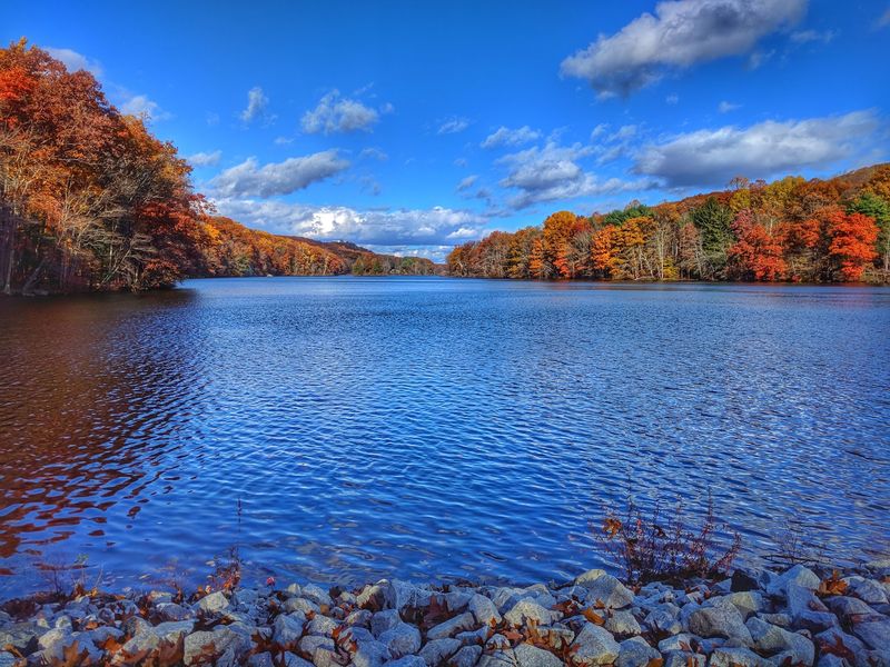
A street address is all it takes to begin an outing with a surprisingly unusual goal. Pyramid Mountain is a county-owned natural area at 472 Boonton Ave, Boonton, NJ 07005, United States.
More than 1,500 acres of forests, streams, and trails make up the setting. That gives the trip a broader purpose than reaching one famous rock and immediately heading back to the car.
The park combines marked hiking routes with large boulders and changes in elevation. Tripod Rock is the headline attraction, but the surrounding trail network allows different approaches and longer outings.
For local day-trippers, the useful distinction is simple: plan for a woodland hike, not a roadside landmark. The address gets you to the starting area, while footwear, route choices, and available time determine what happens next.
The memorable part requires a little effort, which is part of the appeal.
The Glacier Connection
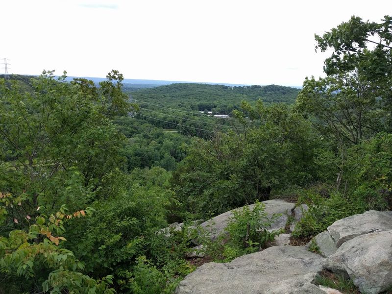
Long before anyone followed a trail marker here, glacier movement helped shape the area’s unusual rock features. The glacial erratics along the hiking routes give that history a physical presence.
An erratic is a rock transported by glacier ice and left behind elsewhere. At this park, those boulders turn a basic walk into an opportunity to consider how a landscape changes over time.
The supplied information connects the formations with glaciers, but it does not establish a precise age or complete geological timeline. There is no need to add an unsupported date to make the story interesting.
Tripod Rock is the best-known example in this outing, although other large formations also appear along the trails. Each provides another reason to pause rather than treat the route as a distance target.
The lesson is straightforward: the forest contains evidence of a much older process, and the hike brings you close to it.
Tripod Rock’s Three Supports
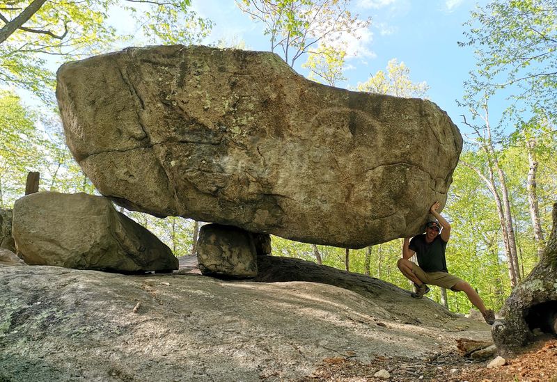
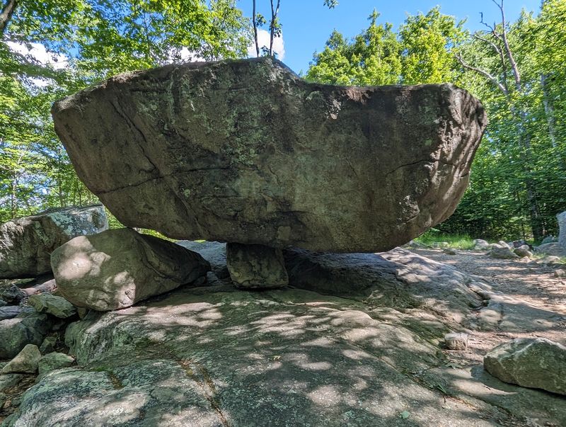
Three smaller stones do the supporting, and one enormous boulder gets nearly all the attention. Tripod Rock earns its name through that unusual arrangement, making it the clearest destination for a first hike here.
The park description identifies a 150-ton boulder, a number that helps explain why this formation attracts so much interest. Its appeal comes from the relationship between the large rock and the much smaller stones beneath it.
Allow time at the landmark rather than scheduling an immediate turnaround. Different positions along the surrounding ground can help explain the arrangement without requiring anyone to climb onto the formation.
The sensible approach is to keep your footing secure and give other hikers room to pause. A photograph can document the stop, but understanding the three supports is the more interesting task.
For a destination built entirely from stone, it gives a hiking day plenty to talk about afterward.
The Blue Trail Approach
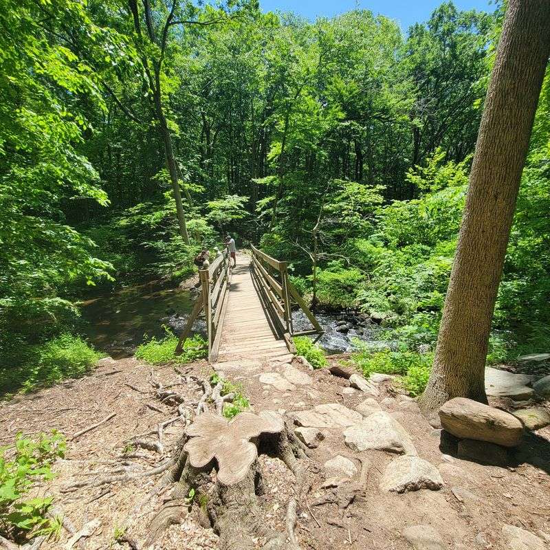
Blue trail markers provide a practical starting point for a hike toward the balanced boulder. The supplied accounts repeatedly identify the Blue Trail as part of the approach to Tripod Rock.
One outing took about an hour each way, while other accounts describe different distances and combinations of connecting paths. Treat that timing as a planning example, not a promise about how long your own group will need.
Rocky sections, pauses, and route choices can all change the schedule. A group that stops often or moves carefully over uneven ground should leave more room in the day.
Before setting off, confirm the route on the current trailhead map. The color alone does not replace an understanding of junctions or the path back to the parking area.
A straightforward goal helps keep decisions manageable: reach Tripod Rock, assess your remaining time and energy, then follow the return route you planned.
Rocky Ground and Real Effort
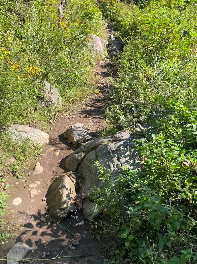
A modest mountain outing can still ask quite a bit of your feet. Several trail accounts describe rocky ground, roots, inclines, and sections where hikers work their way over larger stones.
Difficulty varies with the route and the person walking it. Some outings are described as fairly easy, while the Blue Trail approach is also described as moderately challenging.
Those differences are useful rather than confusing: a mostly manageable trail can still include spots that demand balance and careful steps. Anyone with limited mobility should consider the uneven ground before committing to the rock destination.
Shoes with dependable grip are a sensible choice, and trekking poles may help hikers who prefer extra support. Leave enough time to move at a comfortable pace instead of chasing somebody else’s completion time.
The most successful plan respects the terrain from the beginning. Tripod Rock is the reward, but the route deserves equal attention.
Loops Beyond the Main Landmark
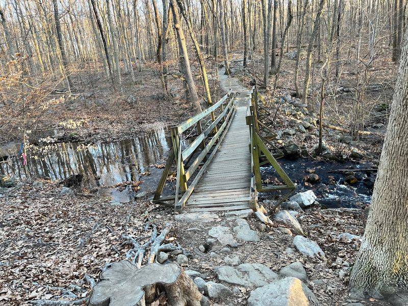
One rock does not have to define the entire outing. The trail network supports shorter walks and longer loops, allowing hikers to choose a plan that fits the day.
A reported four-mile outing combined the orange trail, connecting yellow-dot and blue-dot trails, and the blue trail. That route included additional rock formations, an overlook, and the summit before returning.
Other accounts describe shorter loops and outings around three miles. These examples show flexibility, but they should not be treated as current turn-by-turn directions.
Choose your route using the latest map and decide on a reasonable turnaround point before leaving. Adding another branch just because it is available can turn a manageable walk into a longer commitment.
Tripod Rock works well as either the central goal or one stop within a broader hike. The better option depends on your group, not on how many trail colors you can collect.
Overlooks Along the Route
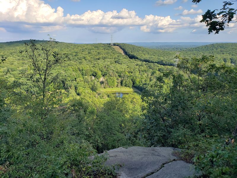
An overlook gives the hike a different kind of stopping point. Several accounts mention viewpoints along their routes, and one longer loop includes a summit stop as well as Tripod Rock.
These places add variety without changing the main purpose of the trip. The boulder invites attention to a single formation, while an overlook places the surrounding terrain in a wider context.
Route selection matters because not every walk includes the same stops. Consult the current map rather than assuming every viewpoint sits directly on the simplest approach to the landmark.
Keep expectations reasonable, too. One account describes a distant skyline from the summit, but that should not become a guaranteed feature of your outing.
Allow a brief pause where the trail safely permits it, then continue according to your plan. A hike with several distinct stopping points can be more engaging than one focused only on arrival.
Forest Details Between the Boulders
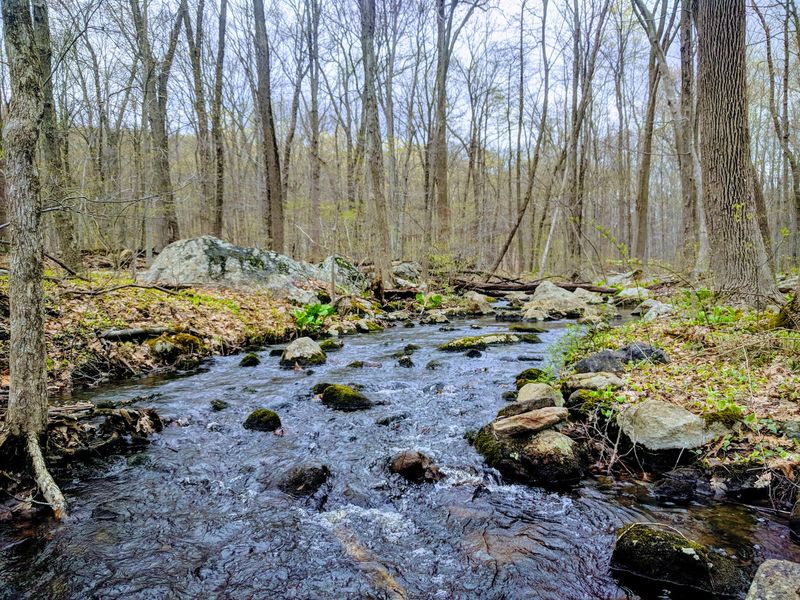
The stretches between landmarks deserve more than a hurried march. Forest, streams, varied plants, and large rocks give the park interest beyond its best-known formation.
Trail accounts also mention mushrooms, a frog, spiders, and other small discoveries. Those observations show the value of paying attention, though no particular wildlife encounter can be promised.
A slower pace makes room for these details while also helping on uneven ground. Children interested in nature may find the smaller subjects as engaging as the destination boulder.
Leave plants and mushrooms where they grow, and give animals space rather than trying to move them for a photograph. The goal is observation, not collecting a souvenir from the forest.
Streams and wooded sections also help explain why hikers return for different routes. Even after the main landmark is familiar, the surrounding natural area gives each walk something else to investigate along the way.
A Family Outing With Limits
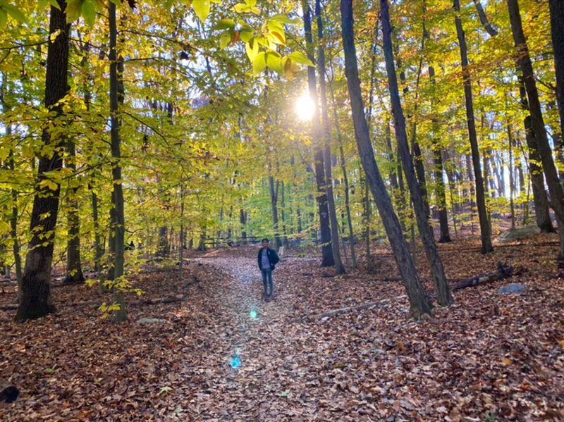
Family-friendly does not mean every section is effortless. The supplied accounts include children ages seven and eight completing the Tripod Rock hike, but also describe a tired group afterward.
That combination gives parents a useful planning point. Children who enjoy walking and can handle uneven ground may manage the outing, while very young hikers may need a shorter or easier route.
Build the day around the least confident walker rather than the fastest adult. Frequent breaks, enough water, and permission to turn back can make the plan more realistic.
Dogs appear in several hiking accounts as well, including on routes with narrow and steep sections. Anyone considering bringing a dog should check current park rules and assess how well the animal handles rocky paths.
The strongest match is a group interested in the walk itself. Tripod Rock adds motivation, but it cannot remove the effort required to reach it.
Maps and On-Site Help
An old hiking guide can create a new problem here. One detailed account notes that trail changes made an older guidebook and an online route source inaccurate.
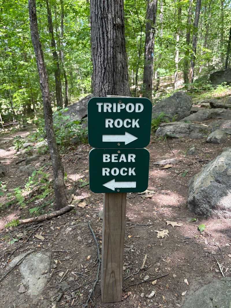
The current trailhead map is therefore an essential planning tool, even when the trail markings seem straightforward. Save a map image before starting and identify the junctions that matter for your return.
The supplied accounts describe generally well-marked routes, although not everyone found the markings equally clear. A map provides backup when a junction requires more thought than expected.
On-site help is another useful resource when available. Accounts mention helpful staff, nature displays for children, and loaner trekking poles at the park center.
Do not assume poles or assistance will be available at every arrival time. Bring what you need, then use on-site resources to clarify the plan rather than replace it.
A few minutes of preparation can prevent an unintended extra loop.
Parking Before the Trail
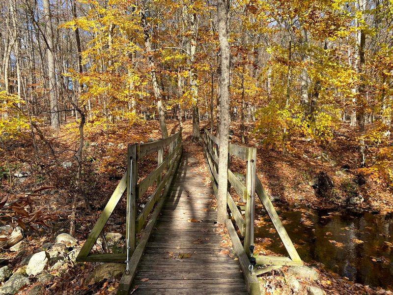
The first practical challenge may happen before anyone reaches a trail marker. The parking area is described as small, and several accounts recommend an early arrival, especially on weekends.
One Sunday outing found space before nine in the morning but a full lot by about eleven thirty. Another early start also avoided parking trouble, though individual experiences cannot predict conditions on your chosen day.
Use the supplied street address for navigation and leave some flexibility in your schedule. A plan that depends on arriving at an exact minute with no backup room may create unnecessary pressure.
Roadside parking appears in an account, but the data does not establish that it is allowed. Do not treat somebody else’s parking choice as permission to do the same.
Check posted instructions when you arrive and use authorized spaces. Getting the car settled properly is a small task that keeps the outing focused on the trail.
Hours and Seasonal Preparation
The supplied schedule lists daily hours of 7:30 a.m. to 7:30 p.m. Check the official park website before traveling, since an outing should rely on current access information.
No admission or parking price is included in the supplied data. That means a free-entry claim would go beyond what is established here.
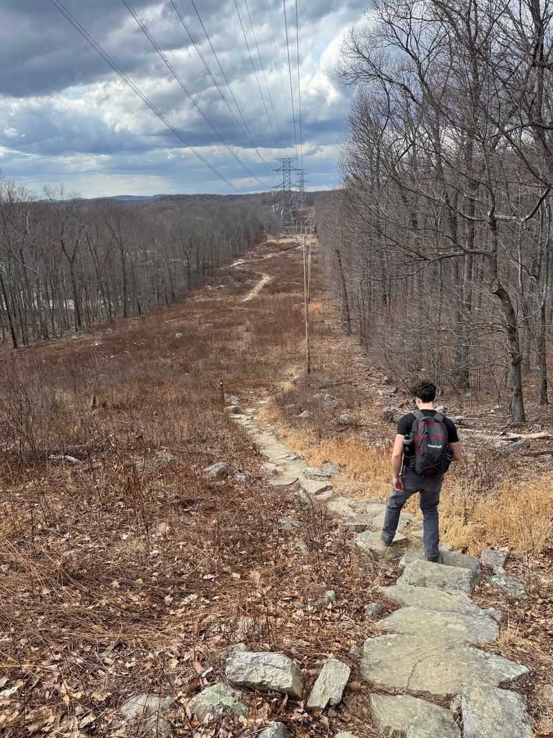
Seasonal planning also matters on a route with rocks and elevation changes. Winter accounts describe snow and recommend traction equipment and a walking stick, so a winter hike should not be planned like an ordinary dry-ground walk.
Warmer-season accounts mention insects, while several routes include extensive tree cover. Carry water and choose equipment suited to the conditions rather than relying on the calendar alone.
Leave enough time to complete the return comfortably within operating hours. The posted closing time is not a target to race toward after an extra loop or a lengthy stop at the boulder.
A Landmark That Earns the Walk
A worthwhile outing does not always need a long list of attractions. Here, one unusual boulder gives the day a clear purpose, while the surrounding trails provide enough choices to shape the experience.
The strongest reason to go is the combination of geological interest and an active woodland route. Tripod Rock is distinctive, but reaching it also involves navigation, uneven ground, and a realistic time allowance.
That makes this a better fit for curious hikers than for someone seeking a quick, step-free stop. Families and occasional walkers can still consider it, provided the chosen route matches their abilities.
Start with the current map, dependable footwear, water, and an early parking plan. Add distance only when the group has enough energy and time for the return.
The final appeal is simple: a New Jersey hike leads to a formation that rewards curiosity, and the walk gives that discovery its proper setting.
Share this story