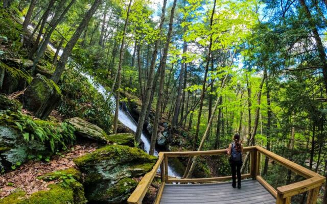
New Jersey has a funny way of tucking big surprises behind roads that do not make a big announcement. One minute the trip feels like a simple outing, and the next there is an 85-foot waterfall rising beside a wooden stairway like the state decided to show off quietly.
The place feels especially satisfying because it works for people who want a quick stop and for hikers who want to turn the visit into a longer trail day. Keep reading, because the details matter here: the road, the stairs, the nearby trails, the parking, and the timing can change the whole plan.
A Sussex County Waterfall With A Real Address
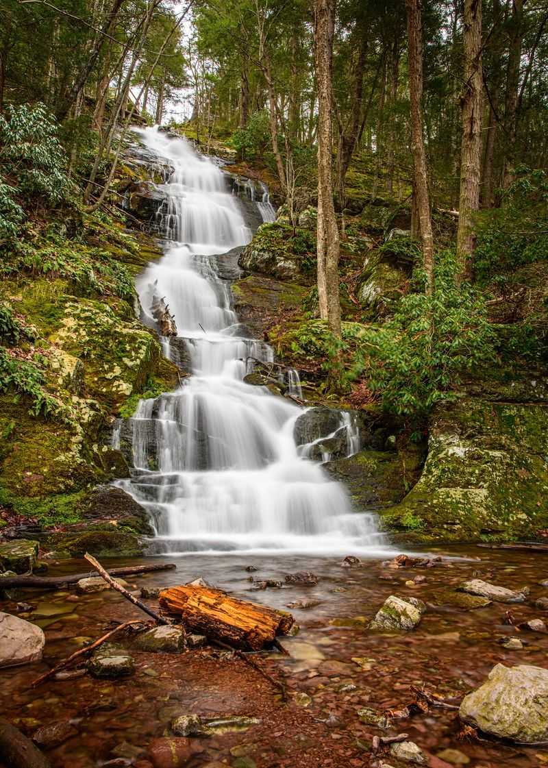
Here is the reveal New Jersey hikers wait for: Buttermilk Falls is a tourist attraction on Mountain Rd, Layton, NJ 07851, in Sussex County, New Jersey, United States.
The destination belongs to the Delaware Water Gap National Recreation Area, and the official site listed for it is the National Park Service page for that recreation area. The address matters because this is not a downtown landmark with easy turn-by-turn comfort at every moment.
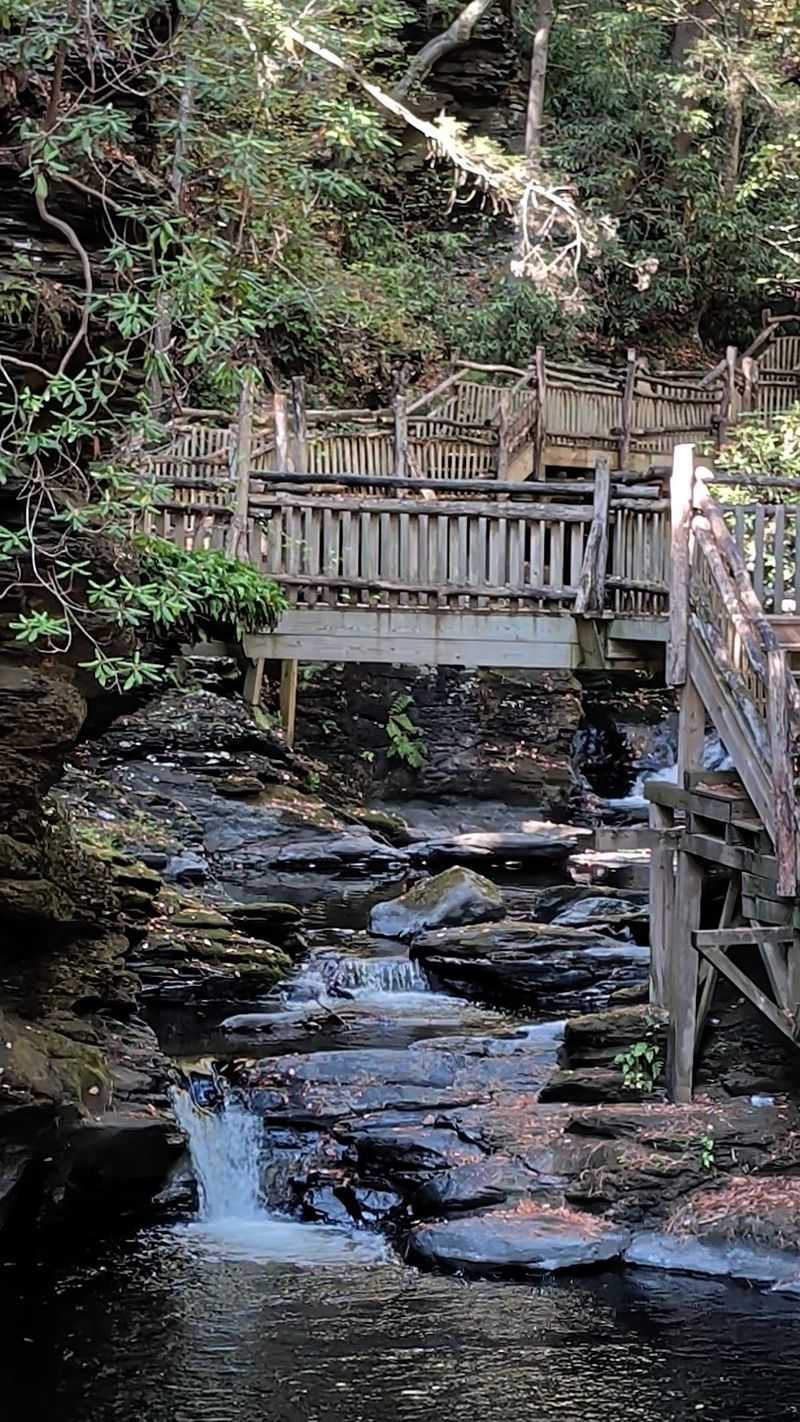
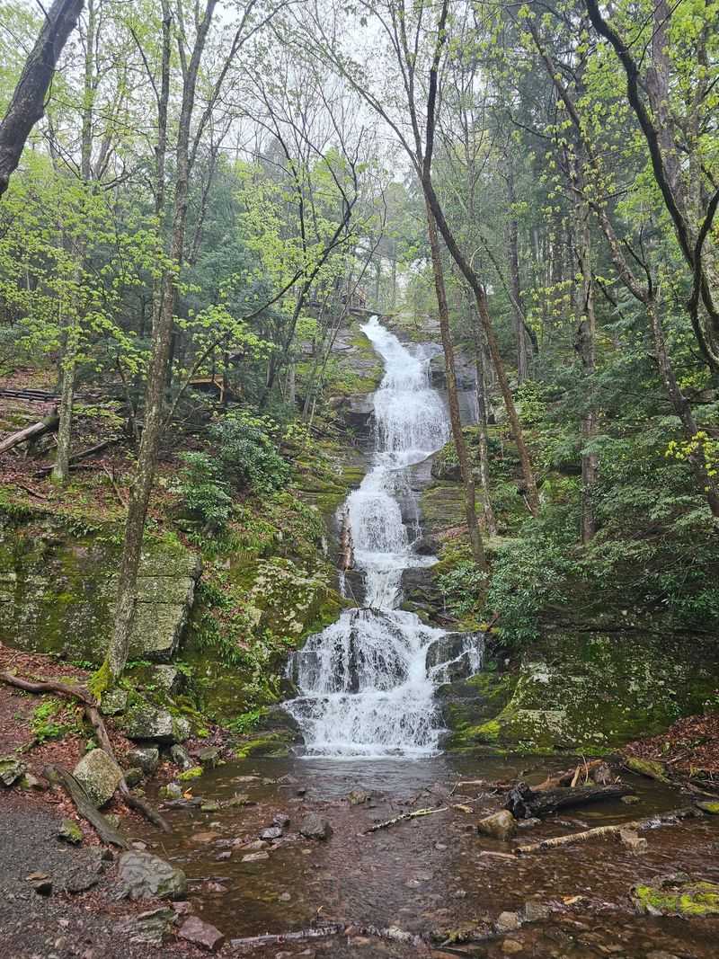
The draw is wonderfully direct. An 85-foot waterfall stands right beside a wooden stairway, with interpretive displays and access to hiking and bird-watching trails nearby.
That setup gives the stop a rare split personality. A person who wants the simplest version can approach the base when access conditions allow, while a hiker can treat the falls as the opening chapter of a much longer outing.
The location also explains why locals talk about the trip with practical warnings. Gravel road conditions, limited parking, weak cell service, and occasional road or bridge issues have all shaped the way people plan their visit.
So the waterfall is easy to understand, but not always effortless to reach. That little bit of planning is part of why the payoff feels earned without turning the outing into a major expedition.
The 85-Foot Drop Beside The Stairs
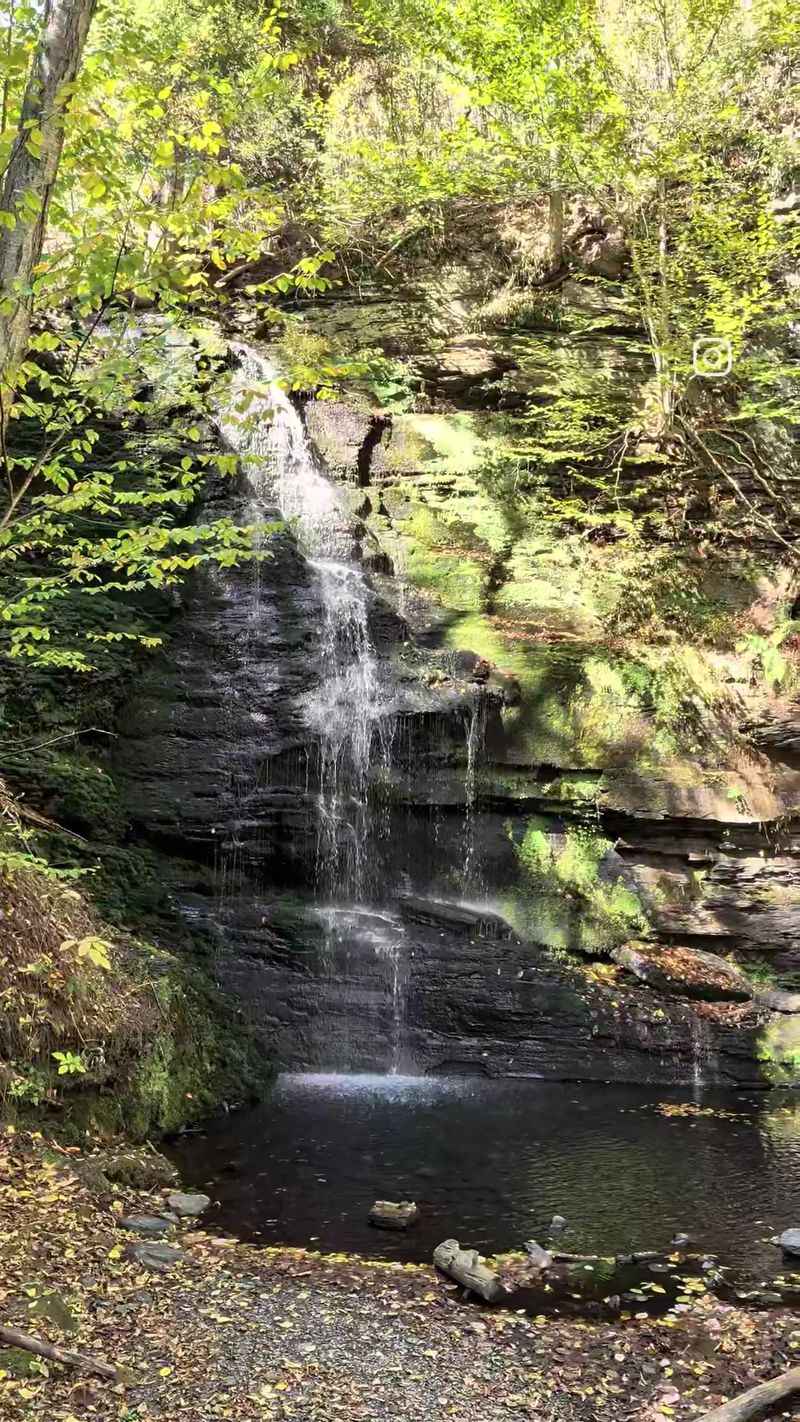
Few New Jersey waterfall stops make the main feature so immediately clear. Buttermilk Falls is known for an 85-foot drop, and the wooden stairway beside it turns the waterfall into more than a quick roadside photo stop.
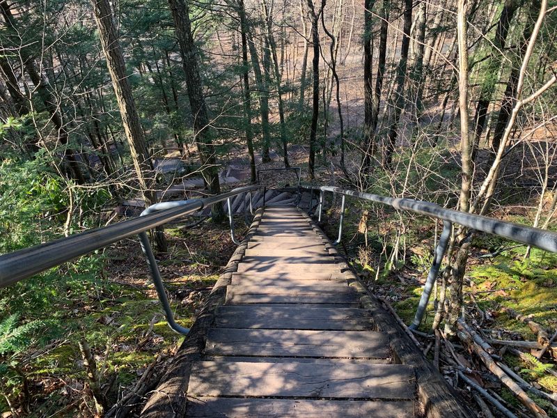
The stairs give the place a built-in route for people who want to move beyond the base. They also make the height easier to understand, because the climb follows the waterfall closely rather than sending hikers far away from it.
Several people describe the stair climb as steep, and that detail should not be treated as a tiny footnote. The ascent is short compared with full-day hikes, but it asks for steady footing and a little patience.
Railings are present on part of the stairway, based on reports from people who have climbed it. Even so, the combination of steps, uneven ground, and changing outdoor conditions makes careful movement a smart idea.
The best part is the choice built into the layout. People who are not looking for a climb can focus on the base area, while hikers can continue upward and connect the stop to more trail time.
That stairway is the headline feature for a reason. It turns one tall waterfall into a small adventure with a decision point at the bottom.
A Base Area That Keeps The Visit Simple
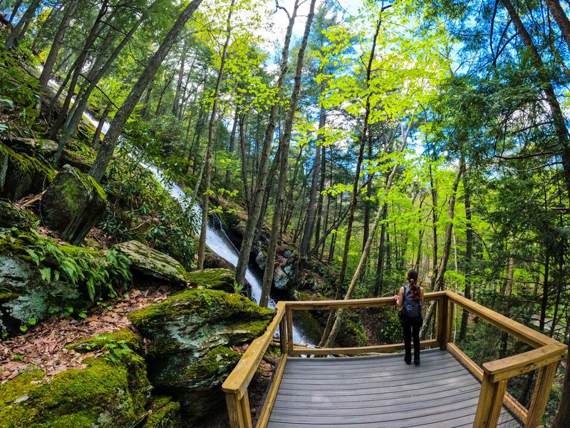
Not every outdoor stop demands a packed day bag and a heroic calendar opening. Buttermilk Falls can be surprisingly straightforward when the road is open and the nearby parking area is accessible.
The base of the waterfall sits close to parking, according to multiple trip accounts in the provided data. That is a major reason the site appeals to mixed groups, including people who may not want a full hike.
That easy base access does not erase the need for caution. The area includes gravel, rocks, and uneven ground, and people with difficulty moving across those surfaces should think carefully before committing to the approach.
The simple version of the visit works like this: arrive, check current access conditions, stay aware of footing, and spend time near the lower part of the falls. No long trail is required when the direct approach is available.
Still, access has not always been consistent. Reports mention bridge closures, road detours, and cases where people parked farther away and walked about 1.25 to 1.5 miles to reach the falls.
That makes Buttermilk Falls a rare place where the shortest outing can feel almost effortless on one day and more like a mild walk on another. A little route homework keeps the surprise on the good side.
The Wooden Stairway Workout
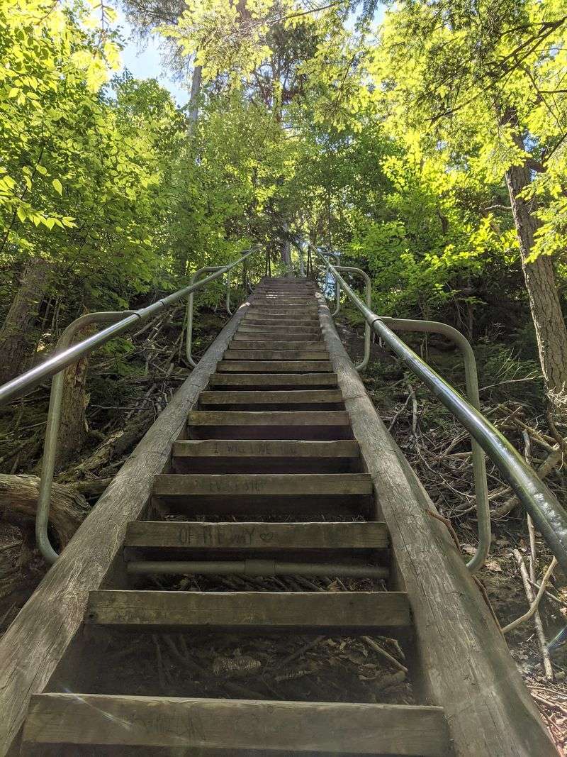
The staircase has main-character energy, even though it is technically supporting the waterfall. At Buttermilk Falls, the climb beside the drop is the feature that separates a quick look from a proper leg-day outing.
People often mention lots of stairs, and the route to the top is commonly described as a good workout. The climb is not presented as a marathon, but it is steep enough that casual footwear and rushing are bad ideas.
From the parking lot, the trip to the top and back has been described as about a half mile round trip. That distance sounds friendly on paper, yet the elevation and steps add the challenge.
The stairway also changes the rhythm of the visit. Instead of wandering aimlessly, people follow a clear upward route with a waterfall beside them and trail options waiting beyond the top.
For newer hikers, the best approach is simple: take time, use stable shoes, and make room for others moving in the opposite direction. The stairs can feel tighter when people are heading both up and down.
The reward is not just reaching the upper area. The climb gives the visit a sense of progression, which is exactly why a short stop here can feel bigger than its mileage.
Trails That Stretch The Day
A quick waterfall stop can become a choose-your-own-hike situation very fast here. Buttermilk Falls connects with nearby trail possibilities, including routes linked with the Appalachian Trail and Tillman Ravine.
The provided data includes people using the falls as a starting point for longer outings of 5 miles, 10 miles, or more. Others keep things short with a smaller hike around the falls and stairs.
That range is the site’s real advantage. A family might focus on the base and stairway, while more experienced hikers can build a challenging loop that adds elevation and nearby natural features.
The Appalachian Trail connection is a big reason the area has a reputation beyond a simple roadside attraction. Reaching that broader trail network turns the waterfall into a gateway rather than a single-stop destination.
Tillman Ravine also appears often in longer trip planning around the area. People mention combining the falls with nearby ravine routes, streamside walking, and extended loops when conditions and ability match the plan.
The important detail is to match ambition to preparation. Buttermilk Falls may begin with a short stair climb, but the surrounding trail web can quickly turn a small outing into a real hiking day.
A Road That Deserves Respect
The road to Buttermilk Falls has a personality, and it is not shy about it. Reports repeatedly mention a gravel or dirt approach with bumps, potholes, and conditions that can become trickier after rain.
That does not mean only one type of vehicle can reach the area. People have reported seeing a variety of cars make the trip, but lower-clearance vehicles may require extra caution.
After wet weather, potholes can hold water, making their depth harder to judge. Slow driving is the least glamorous advice in the world, but here it may be the most useful.
Access can also be affected by detours, bridge closures, and road closures. Some people have been directed by navigation tools to a closed bridge or a spot about 1.4 miles from the falls, then walked from there.
Because cell service can be weak, it is wise to download maps ahead of time and check the National Park Service information before leaving stronger service areas. That one small step can prevent a comedy of wrong turns.
The waterfall may be the star, but the road is the opening act. Treat it seriously, and the whole outing has a much better chance of staying pleasantly simple.
Limited Parking And Backup Plans
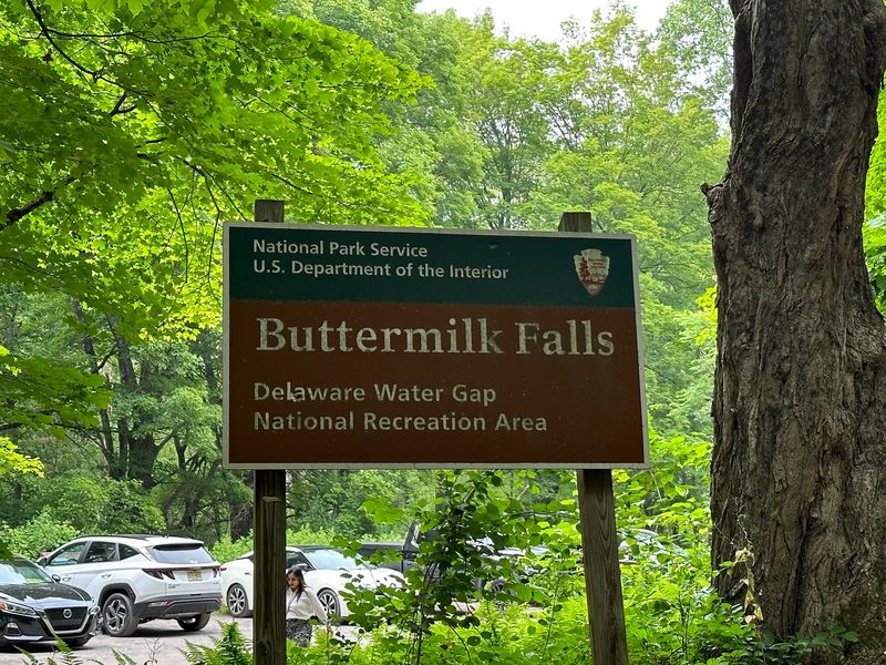
Parking at Buttermilk Falls is not the kind of detail to leave for the final five minutes. The provided information repeatedly points to limited parking in the area, especially near the base.
When the closest access is available, the lot is described as being right across from the falls. That makes the destination unusually convenient for people hoping to keep the walking distance short.
Road or bridge conditions can change that plan. Several accounts describe parking farther away and walking about 25 to 30 minutes, or roughly 1.25 to 1.5 miles, depending on where access was interrupted.
The backup walk has been described as mostly flat in some cases, especially along a closed-to-cars path or service-road-style route. That can make the detour manageable for many people, but it is still different from parking at the base.
A sensible plan includes extra time, sturdy footwear, and enough flexibility to adjust if the closest lot is full or unavailable. Cell service limitations make it even more important to know the route before arriving.
Buttermilk Falls rewards the prepared planner, not the last-second guesser. Parking may be small, but a flexible mindset gives the day much more room to work.
Timing Around Rain And Seasons
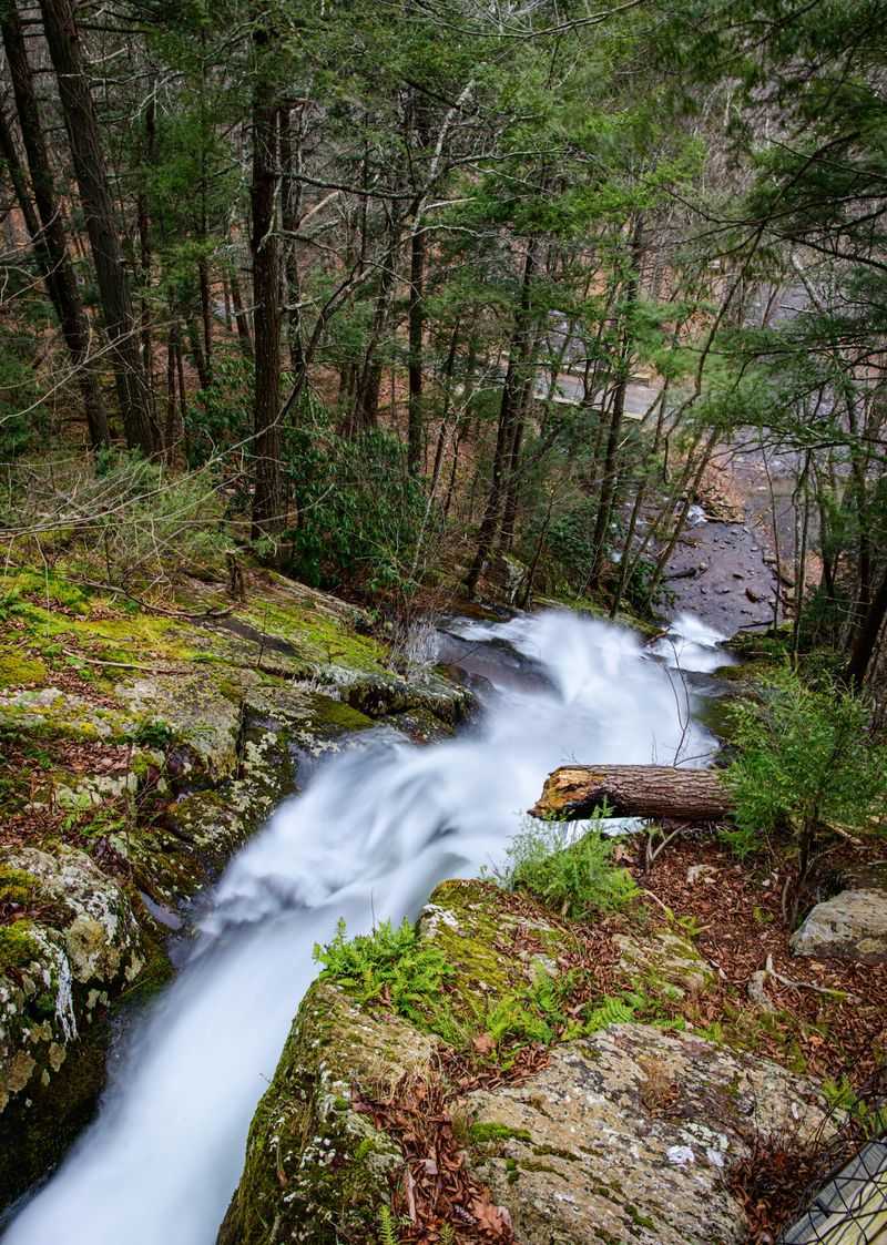
Waterfall timing is a quiet little science, and Buttermilk Falls proves it. The provided accounts point to early spring and periods after rain as times when the flow can be stronger.
Early spring gets attention because thawing conditions may increase the amount of water moving over the falls. Later in dry summer stretches, the water level can be lower.
After rain, the waterfall is often described as being at its most active. That said, rain can also make the access road rougher and the trail surfaces less forgiving, so better flow comes with extra planning.
Fall adds another reason to go. Reports mention fall colors in the area, and the surrounding western New Jersey forest can make the drive and trails feel especially seasonally tied without needing a complicated itinerary.
Winter has also been mentioned as a memorable time, but it brings a serious access note. Snow can hide potholes on the road, so slow driving and careful judgment become even more important.
There is no single perfect date stamped on the calendar. Buttermilk Falls changes with water levels, weather, and road conditions, which is why checking current information before the trip is more than a polite suggestion.
A Short Stop For Mixed-Abilities Groups
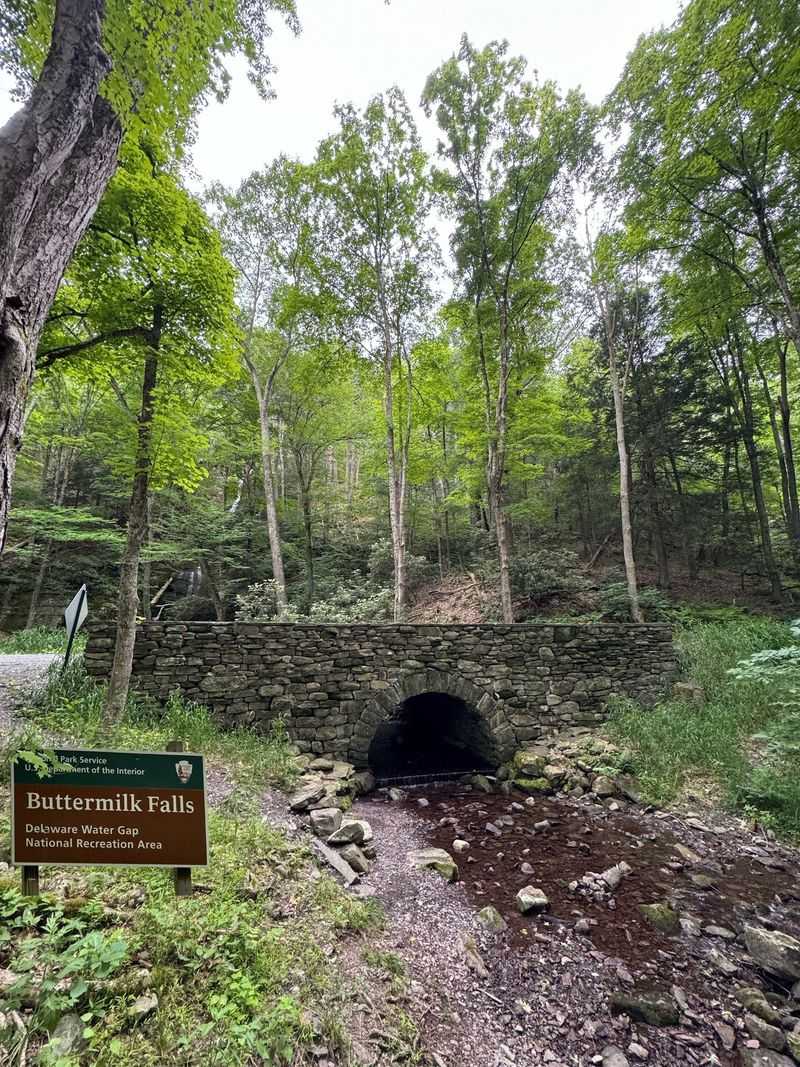
Group outings often fall apart when one person wants a trail and another wants a bench-level commitment. Buttermilk Falls handles that tension better than many outdoor places because the base can be reached with minimal hiking when access is open.
People have described the waterfall as suitable for a range of ages and ability levels, especially when focusing on the lower area. The closest parking setup, when available, places the falls very near the road.
The stairway creates the optional challenge. Some can climb toward the top while others stay lower, which helps mixed groups avoid turning the visit into an all-or-nothing plan.
That said, the site is not a paved urban plaza. Uneven ground, gravel, rocks, and stairs mean anyone with mobility concerns should consider the surface conditions carefully before going.
The road can also affect comfort for a group, especially in low-clearance vehicles or after rain. A destination that looks simple on a map may involve a bumpy approach and limited service.
Used wisely, Buttermilk Falls works as a flexible outing rather than a forced march. The trick is to decide ahead of time who is climbing, who is staying near the base, and how much walking the day can reasonably include.
Bird-Watching And Interpretive Displays
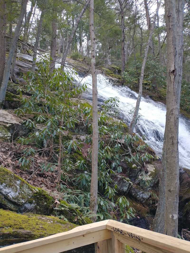
The waterfall gets top billing, but the official description gives the site a little more depth. Buttermilk Falls includes interpretive displays, plus a trail setting used for hiking and bird-watching.
Those displays help turn the stop into more than a quick look at moving water. They give people context while keeping the experience tied to the landscape around the falls.
Bird-watching adds another slower-paced layer. The provided data does not name specific bird species, so the safest way to frame it is simple: the area is identified as a place where bird-watching is part of the trail experience.
That matters for people who like a destination with options. Some visitors want the stair climb, others want a longer hike, and others prefer a calmer stop that still feels connected to the larger recreation area.
The interpretive element also fits the Delaware Water Gap National Recreation Area setting. It reminds people that this is part of a broader public landscape, not just a roadside attraction with a staircase.
For New Jersey day-trippers, that mix is useful. Buttermilk Falls can be a photo-worthy waterfall stop, a trailhead, or a brief nature-learning pause, depending on how much time and energy the day allows.
Nearby Routes With Bigger Ambitions
Some hikers arrive for the waterfall and quietly turn the day into a mileage project. The area around Buttermilk Falls has been used as a launch point for longer routes toward places such as Tillman Ravine, Woods Trail Pond, and Crater Lake loops.
The provided accounts include outings that stretch to about 10 miles when combining multiple trail segments. That is a very different day from the short stair climb beside the falls.
Longer routes may include elevation, rocky sections, and more demanding terrain. Proper hiking shoes are repeatedly advised in the trip data, especially for people going beyond the base and stairs.
The Appalachian Trail connection also raises the stakes. Reaching a famous long-distance route from a New Jersey waterfall is exactly the kind of local surprise that gives the state bragging rights beyond shorelines and highways.
Still, ambitious routes require honest planning. Weak service, route confusion, road detours, and changing trail conditions can complicate a casual approach.
The best use of Buttermilk Falls as a trail hub is intentional, not accidental. Come for the 85-foot drop if time is short, but come prepared if the plan includes bigger miles beyond the stairway.
Safety Notes Without The Drama
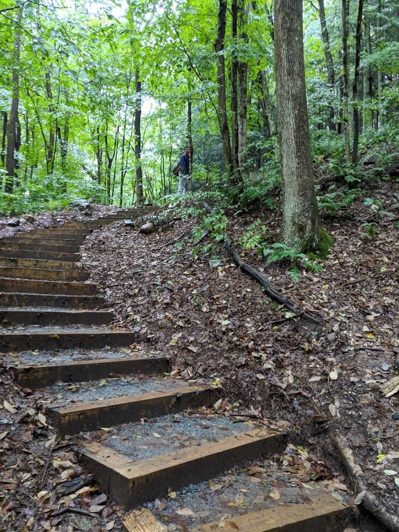
A place can be beautiful and still ask for common sense. Buttermilk Falls has uneven ground, rocky areas, gravel surfaces, steep stairs, and occasional loose rock noted in the provided reports.
Footwear matters here. Running shoes are specifically discouraged by one account for hiking routes, and several comments point toward proper shoes for rocky or steep sections.
Wildlife awareness also belongs in the planning. The area has been described as having snakes, including venomous snakes in surrounding hiking areas, so staying on trails and watching hand and foot placement is smart.
Cell service can be weak or nearly absent. Downloaded maps, a route plan, and a little extra time are simple precautions that make a big difference if navigation gets awkward.
Road conditions are part of the safety picture too. Potholes, rough gravel, rain-filled dips, winter snow cover, and low-clearance vehicles can all complicate the drive in.
None of this should scare away prepared hikers or careful day-trippers. It simply means Buttermilk Falls is an outdoor destination, not a polished theme-park walkway, and treating it that way keeps the outing on track.
A Soft Verdict For New Jersey Day-Trippers
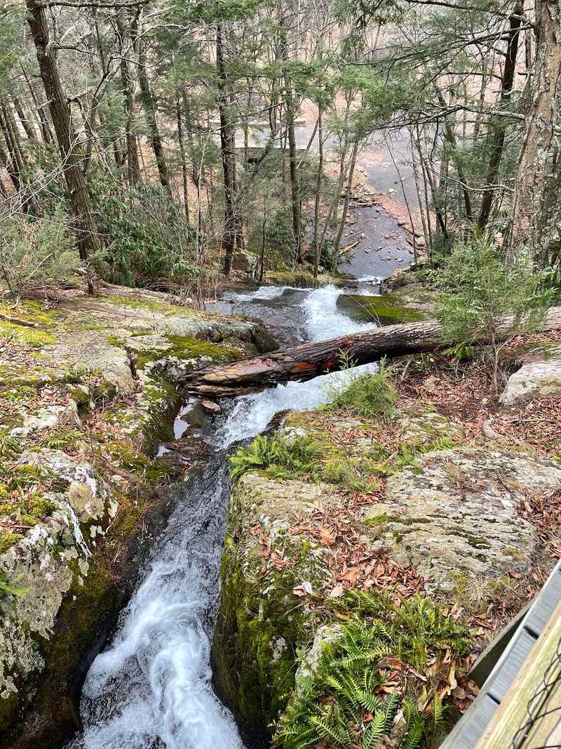
Buttermilk Falls earns attention because it does not need a complicated pitch. An 85-foot waterfall beside a wooden stairway is already enough to make a New Jersey day trip feel less ordinary.
The best version of the visit depends on planning around the practical details. Check the National Park Service information for current access, download maps before service drops, expect limited parking, and be ready for a rough road.
The provided data does not list standard hours or a confirmed admission cost for Buttermilk Falls itself. Because the destination is tied to the Delaware Water Gap National Recreation Area, the official National Park Service site is the most appropriate source to check before going.
What makes the spot especially useful is its range. It can serve as a short waterfall stop, a stair-climb outing, a bird-watching pause, or the first piece of a longer hike linked to nearby trails.
For New Jersey residents, that range is part of the pride factor. The state can hide a memorable waterfall trip behind a bumpy road in Sussex County, then casually connect it to bigger trail country.
The verdict is simple and soft: go prepared, keep expectations flexible, and let the stairway decide how ambitious the day becomes. Buttermilk Falls is small enough to visit without overplanning and interesting enough to reward the extra effort.
Share this story