There is a lake in southern Oregon that sits so perfectly between two volcanic peaks that it almost looks like someone placed it there on purpose. The water is clear, the forest is dense, and the trail that loops around it is one of the most satisfying easy hikes in the entire Pacific Northwest.
At 11.5 miles, the John Dellenback Trail around Diamond Lake gives you sweeping views of Mount Thielsen and Crater Lake-area peaks without demanding anything extreme from your legs. Whether you are a seasoned hiker or someone who just wants a long, beautiful walk with a great payoff, this trail delivers the kind of scenery that makes you stop, stare, and wonder why you did not come sooner.
Where the Trail Begins: Diamond Lake’s Location and Access
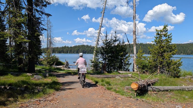
Tucked into the Umpqua National Forest in southern Oregon, Diamond Lake sits at an elevation of about 5,183 feet, making it one of the higher-altitude lakes in the region that is still easily accessible by car.
The John Dellenback Trail runs along the perimeter of the lake, and the trailhead can be accessed from the Diamond Lake Recreation Area near the address NF-4795, Crescent, OR 97733.
The drive to get here is part of the experience. Highway 138, also known as the Rogue-Umpqua Scenic Byway, winds through old-growth forest and past waterfalls before depositing you at the lake’s edge.
Most visitors park near the Diamond Lake Resort area or at one of the campground access points. There are multiple entry points along the trail, so you do not have to complete the full loop if you prefer a shorter out-and-back.
The road to the lake is open seasonally, typically from late spring through early fall, though the exact dates can shift depending on snowpack. Checking road conditions before heading out is always a smart move when visiting at higher elevations in Oregon.
The Full Loop: What 11.5 Miles Around Diamond Lake Actually Feels Like
Eleven and a half miles sounds like a lot until you realize the trail is almost entirely flat, following the gentle contour of the lakeshore with very little elevation change throughout.
The total elevation gain is minimal compared to most Oregon trails, which is exactly why this loop attracts such a wide range of hikers, from families with older kids to trail runners looking for a scenic tempo run.
The surface alternates between paved sections near the campground and packed natural trail through the forest, giving your feet a bit of variety along the way.
The eastern segment of the loop passes through the Diamond Lake campground, where you will share the path with cyclists, dog walkers, and the occasional camp host on a golf cart.
Once you hit the northern and western sides of the lake, the crowd thins out considerably, and the trail dips deeper into the trees. Those quieter sections have a completely different energy, with birdsong replacing the hum of camp activity and the lake glittering through the pines beside you.
Mount Thielsen in View: The Volcanic Peak That Watches Over Every Step
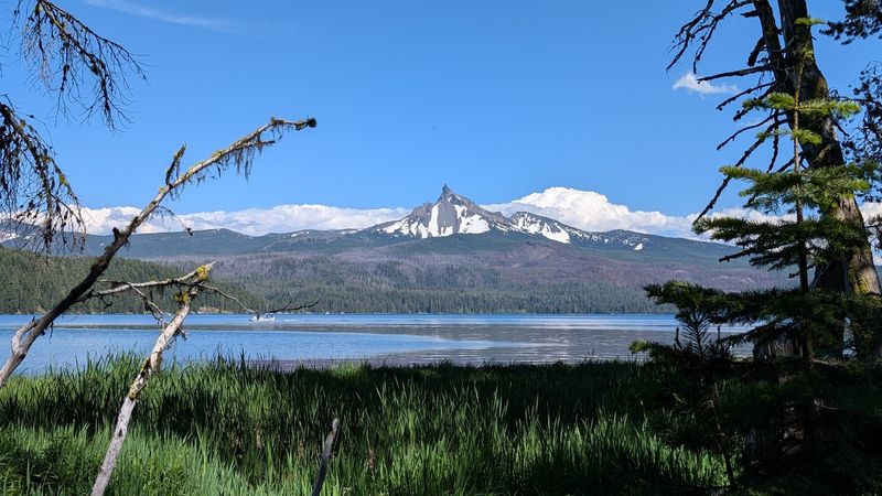
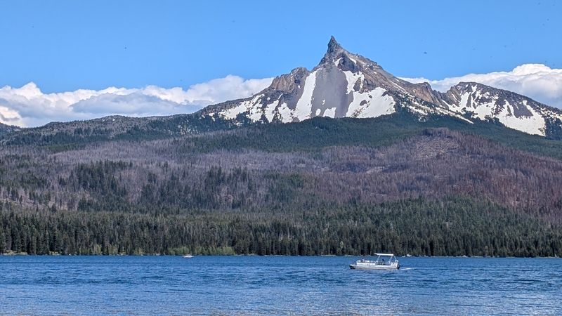
Mount Thielsen is not a mountain that hides. Its spire-like summit, which reaches 9,182 feet, is the kind of peak that draws your eye from almost every angle of the Diamond Lake loop.
Known as the “Lightning Rod of the Cascades,” Mount Thielsen is a heavily eroded shield volcano whose summit is so narrow and sharp that it literally attracts lightning strikes, leaving behind a glassy rock called fulgurite in the cracks near the top.
From the western and northern sections of the Dellenback Trail, the peak dominates the skyline in a way that feels almost theatrical. You round a bend in the forest, the trees open up, and there it is, looming above the lake with a kind of quiet authority.
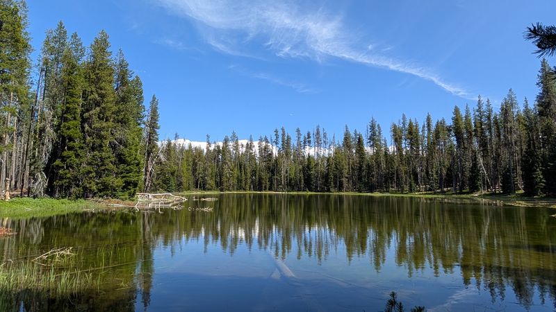
Photographers tend to linger on the northern shore where the mountain reflects in the water on calm mornings. That reflection shot, with the glassy lake surface doubling the peak, is the one you will see shared most often from this trail.
The mountain is part of the Cascade Volcanic Arc, the same chain that includes Crater Lake’s Mount Mazama, and standing next to Diamond Lake makes that geological connection feel very real.
The Second Peak: Crater Lake’s Mount Scott and the Southern Cascade Views
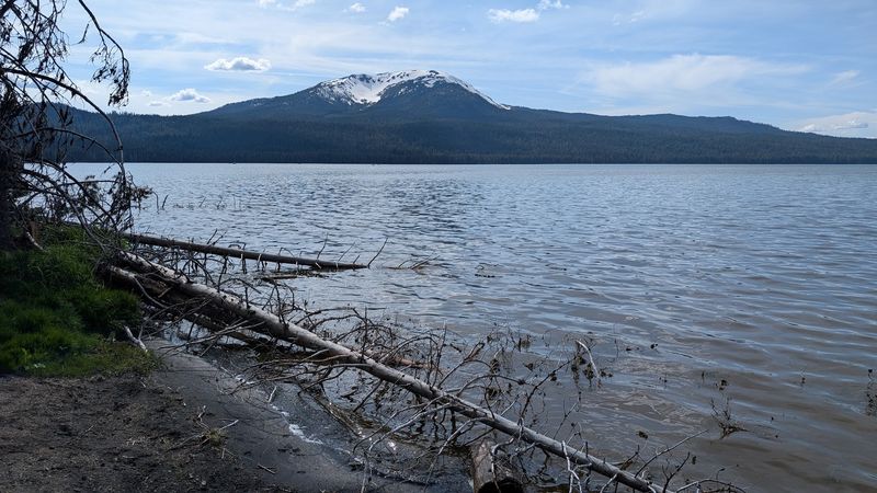
Mount Thielsen gets most of the attention, but the views from Diamond Lake do not stop at one volcanic peak. On clear days, the southern Cascade range spreads out across the horizon with multiple summits visible from different sections of the trail.
Mount Bailey, which rises to 8,363 feet directly west of the lake, is a broad, heavily forested stratovolcano that forms an impressive backdrop on the western side of the loop. Its rounded shape contrasts nicely with Thielsen’s sharp spire, giving the lake a kind of two-sided frame.
On particularly clear days, hikers on the northern end of the trail can also spot the rim of Crater Lake’s caldera in the distance, a reminder of just how volcanically active this region has been over the last few hundred thousand years.
The combination of water, forest, and multiple volcanic summits visible from a single flat trail is genuinely rare. Most hikes that offer this kind of panoramic payoff require serious elevation gain.
Here, the mountains come to you, framed by ponderosa pines and reflected in some of the clearest water in Oregon.
The Forest Sections: What the Trees Along the Trail Look Like Up Close
The forest sections of the Dellenback Trail are where the hike earns its quiet reputation. Away from the campground, the trail passes through stands of lodgepole pine, mountain hemlock, and Shasta red fir that have been growing here for decades without much disturbance.
The understory is relatively open, which means visibility through the trees is good and the forest floor has a clean, airy feel. Wildflowers pop up along the edges of the trail in early summer, and by late July the meadow patches near the lake’s northern shore are buzzing with pollinators.
Wildlife sightings are common in these sections. Black-tailed deer graze near the trail in the early morning hours, and osprey patrol the lake surface looking for fish.
If you are lucky, you might spot a bald eagle perched high in a snag overlooking the water.
The light in the forest changes dramatically depending on the time of day. Morning light filters through the canopy in long golden shafts, while afternoon brings a cooler, more diffused glow that makes the green of the forest look almost luminescent.
Bring a light layer even in summer, as the shade from the tall trees can make the air feel noticeably cooler than the open sections near the shore.
Best Time to Visit: Seasons, Snow, and the Sweet Spot for Hikers
The trail is at its best from late June through early October, when the snow has melted, the road is open, and the lake is fully accessible. July and August bring the warmest temperatures and the most reliable weather, but they also bring the most visitors.
September is widely considered the sweet spot for hiking here. The crowds thin out after Labor Day, the temperatures cool to a comfortable range for long walks, and the first hints of autumn color appear in the deciduous shrubs along the shore.
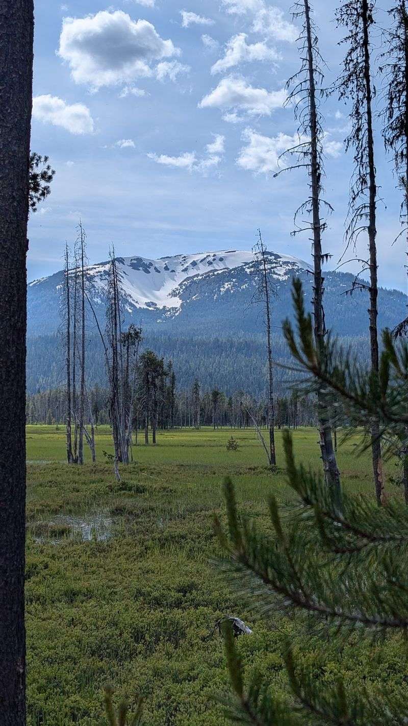
Early summer visits, particularly in late June, come with the reward of snowfields still visible on the upper flanks of Mount Thielsen, which makes for dramatic photographs from the lake trail below.
Winter closes the main access road and buries the trail under several feet of snow, but that does not stop cross-country skiers and snowshoers who know this area well. The lake takes on a completely different character in winter, silent and snow-covered, with the volcanic peaks standing sharp against a pale sky.
For first-time visitors, late July offers the easiest conditions, with long daylight hours giving you plenty of time to complete the full loop at a relaxed pace.
Diamond Lake Resort and Campground: Where to Stay Right on the Water
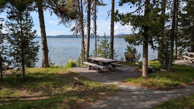
One of the most convenient things about visiting Diamond Lake is that you do not have to drive far to find a place to sleep. The Diamond Lake Resort sits right on the eastern shore and has been hosting visitors for generations.
The resort offers motel-style rooms, cabins, and RV hookups, all within walking distance of the trail. Waking up here means you can be on the trail before most day-trippers have even left the highway, which is a genuine advantage for anyone who wants the early morning light on the lake.
The campground operated by the U.S. Forest Service wraps around much of the eastern shore and has hundreds of sites for tent and RV camping.
Sites fill up fast on summer weekends, so reservations through Recreation.gov are strongly recommended for July and August stays.
The resort also has a small store, a restaurant, and boat rentals, which means you can easily spend multiple days here without needing to drive anywhere for supplies.
Staying on-site also gives you the option to hike the trail in segments across multiple mornings, which is a great way to experience the full loop without rushing through it all in one go.
Fishing, Kayaking, and Other Things to Do Beyond the Trail
The trail is the main draw, but Diamond Lake has enough going on beyond hiking to keep you busy for a full long weekend. The lake is stocked with rainbow trout and has a solid reputation among fly fishermen who wade the shallower sections near the northern shore.
Boat rentals are available at the resort, and the calm water makes Diamond Lake one of the better places in Oregon for kayaking and stand-up paddleboarding. Paddling across the lake with Mount Thielsen reflected in the water directly ahead of you is one of those experiences that does not need any embellishment to sound appealing.
Swimming is allowed, though the water temperature stays cold even in August due to the lake’s elevation and depth. Most swimmers stick to the sandy beach area near the resort, where the water is a bit shallower and slightly warmer.
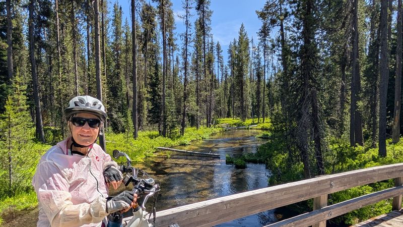
Cycling is popular on the paved sections of the trail, and many families bring bikes to ride the campground loop and the eastern shore segment. The flat terrain makes it approachable for kids who are not quite ready for mountain biking.
Stargazing after dark is exceptional here due to the low light pollution, and the volcanic peaks silhouetted against the Milky Way make for a genuinely unforgettable night sky.
Tips for Hiking the Full Loop: Gear, Pacing, and What to Bring
Eleven and a half miles on a flat trail is still eleven and a half miles, and a few practical details can make the difference between a great day and a sore, underprepared one.
Trail runners and athletic hikers can complete the full loop in three to four hours, but a comfortable pace for most people lands somewhere between four and five hours, including stops for photos and snacks.
Water is the most important thing to pack. There are no reliable water sources along the trail itself, so bring at least two liters per person for a full loop in warm weather.
The resort has water available near the trailhead if you need to top off before starting.
Footwear does not need to be heavy-duty. Trail runners or sturdy walking shoes work well on the mixed paved and natural surface.
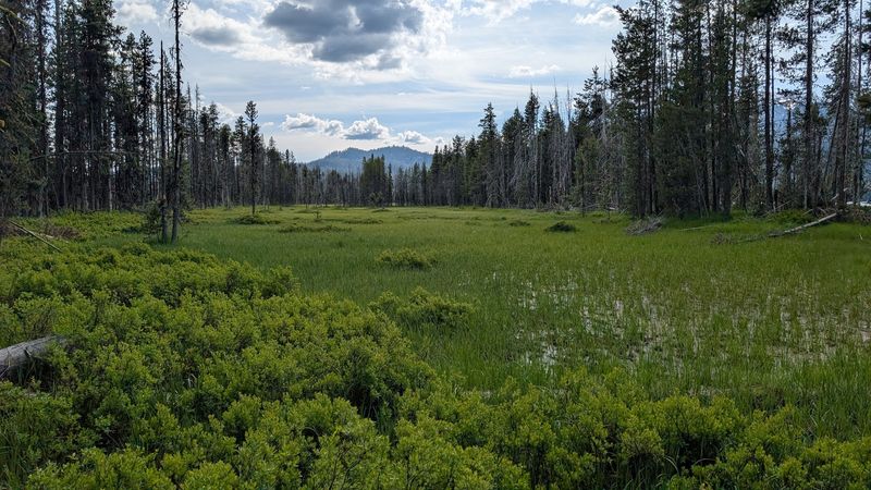
Waterproof options are smart for early season visits when the trail edges can be muddy near the lake.
Sunscreen and sunglasses matter more than you might expect on this trail. The open sections along the shore have no shade at all, and the reflective surface of the lake amplifies the sun considerably.
Starting early in the morning keeps you ahead of afternoon crowds and gives you the best chance of glassy water reflections for that perfect Mount Thielsen mirror shot.
Share this story