There is a trail in Oregon where the river runs an impossible shade of blue-green and two massive waterfalls crash down with enough force to make you stop mid-step and just stare. I stumbled onto this loop during a road trip through central Oregon, and honestly, it caught me completely off guard.
The trail winds through dense old-growth forest, hugs the McKenzie River, and delivers two of the most photogenic waterfalls I have ever seen in the Pacific Northwest. By the time I finished the loop, I already wanted to turn around and do it again.
Keep reading, because this one is absolutely worth your time.
Where the Trail Begins: Location and Access
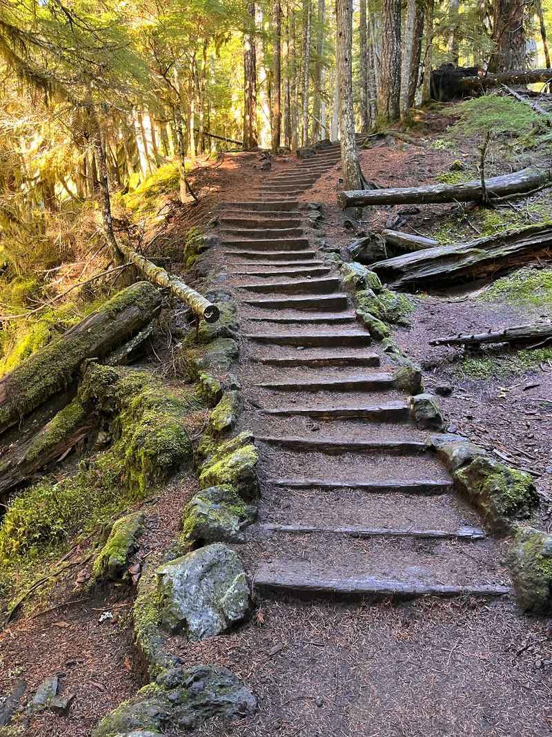
The Waterfalls Loop Trailhead sits near Sisters, OR 97759, tucked into the Willamette National Forest along the McKenzie River Highway, also known as Highway 126. The trailhead provides access to Sahalie Falls and Koosah Falls, two of the most celebrated waterfalls in all of Oregon.
Most hikers start at the Koosah Falls parking area, which is smaller and fills up quickly on busy days. Getting there early is a smart move, especially on weekdays.
The trailhead is open Monday through Friday from 10 AM to 4:30 PM, and it is closed on weekends, so planning ahead is key.
The drive out to this area is scenic in its own right, passing through towering Douglas fir and western red cedar. The road follows the river for several miles before you reach the falls area.
Cell service can be spotty, so downloading an offline map before you leave is a practical step that saves a lot of frustration.
The Full Loop: Distance, Elevation, and Trail Conditions
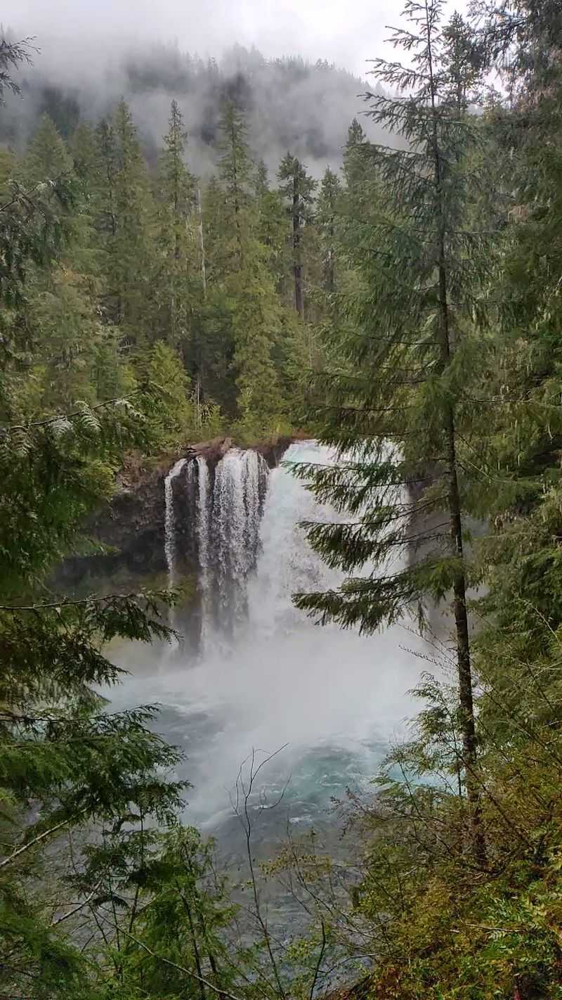
The full Waterfalls Loop covers approximately 2.6 to 3 miles if you hike the shorter out-and-back version, or stretches to around 7.3 miles for the complete loop with roughly 1,700 feet of elevation gain. The shorter route between Koosah and Sahalie Falls is the most popular option and takes about one to two hours at a relaxed pace.
The trail is well-worn and easy to follow throughout most of the route. The section running from Koosah Falls north to Sahalie Falls stays close to the river and feels almost effortless.
The return trail on the loop is noticeably more primitive and less maintained, so some hikers choose to simply retrace their steps rather than complete the full circuit.
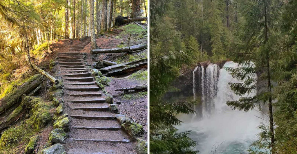
Elevation gain heading north is gradual and mostly unnoticeable, with only a few short steeper sections to keep things interesting. There is a series of stairs just past the first falls that adds a bit of variety to the terrain.
Trail conditions stay green and lush through most of the year.
Sahalie Falls: The Crown of the McKenzie River
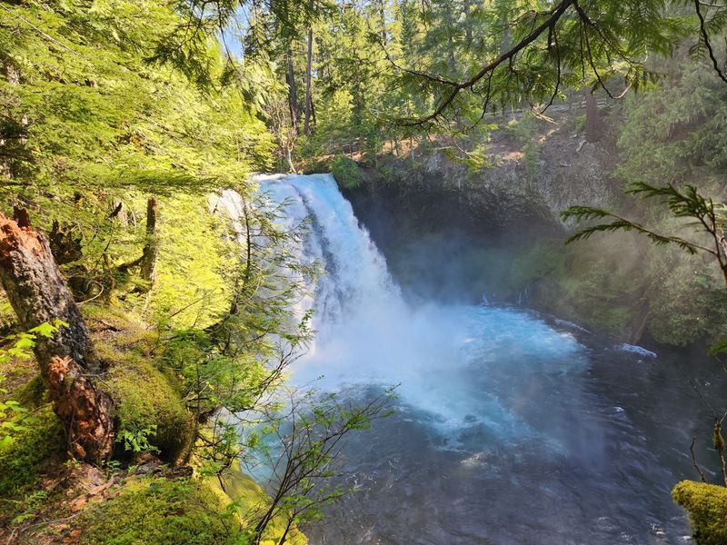
Sahalie Falls is the kind of waterfall that stops a conversation cold. The water drops roughly 100 feet over a jagged volcanic basalt ledge, and the spray hits your face from the viewing platform before you even realize how close you are.
The sound alone is enough to make the hike worthwhile.
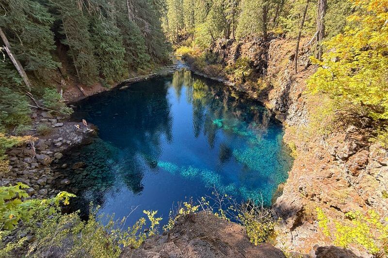
The falls sit at the northern end of the trail and are fed by the Upper McKenzie River, which draws its water from Clear Lake, a nearby spring-fed lake with remarkably cold and clear water. That clarity carries all the way down to Sahalie, giving the pool below the falls a stunning turquoise color that looks almost unreal in photographs.
Multiple viewpoints line the trail near Sahalie, so you can see the falls from different angles and distances. The mist keeps the surrounding vegetation dense and deeply green year-round.
Spring and early summer bring the highest water volume, when the falls roar at full force. Slack liners are occasionally spotted playing above the falls, adding an unexpected layer of entertainment to the visit.
Koosah Falls: Power and Beauty in Equal Measure
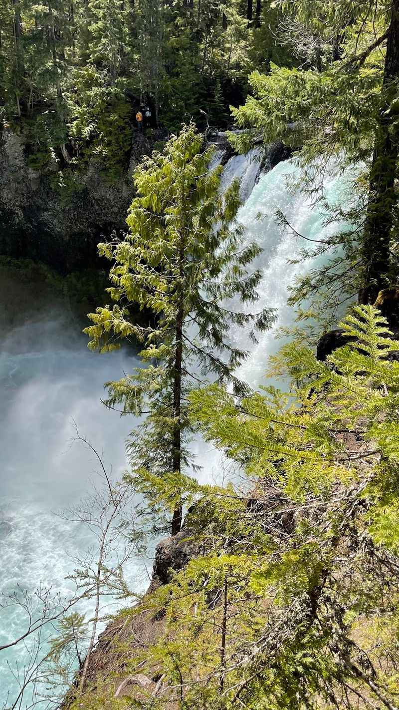
About half a mile downstream from Sahalie, Koosah Falls delivers a completely different kind of waterfall experience. Where Sahalie is tall and dramatic, Koosah is wide and thunderous, spreading across a broad basalt shelf and crashing into a churning blue-green pool below.
The word “Koosah” comes from the Chinook language and means sky, which feels fitting given how the water seems to fall from nowhere.
The viewing area at Koosah puts you right at the edge of the action. The pool beneath the falls has a brilliant color that shifts between deep teal and vivid aqua depending on the light and time of day.
Many visitors say Koosah ends up being their favorite of the two, which is saying something given the competition just upstream.
The parking area near Koosah is small, with limited spots, so arriving before 10 AM on weekdays gives you the best chance of securing a space. The trail between the two falls is short and accessible enough that even young children handle it with ease.
Dogs are welcome on leash, making this a popular outing for families with four-legged companions.
The McKenzie River Trail Connection
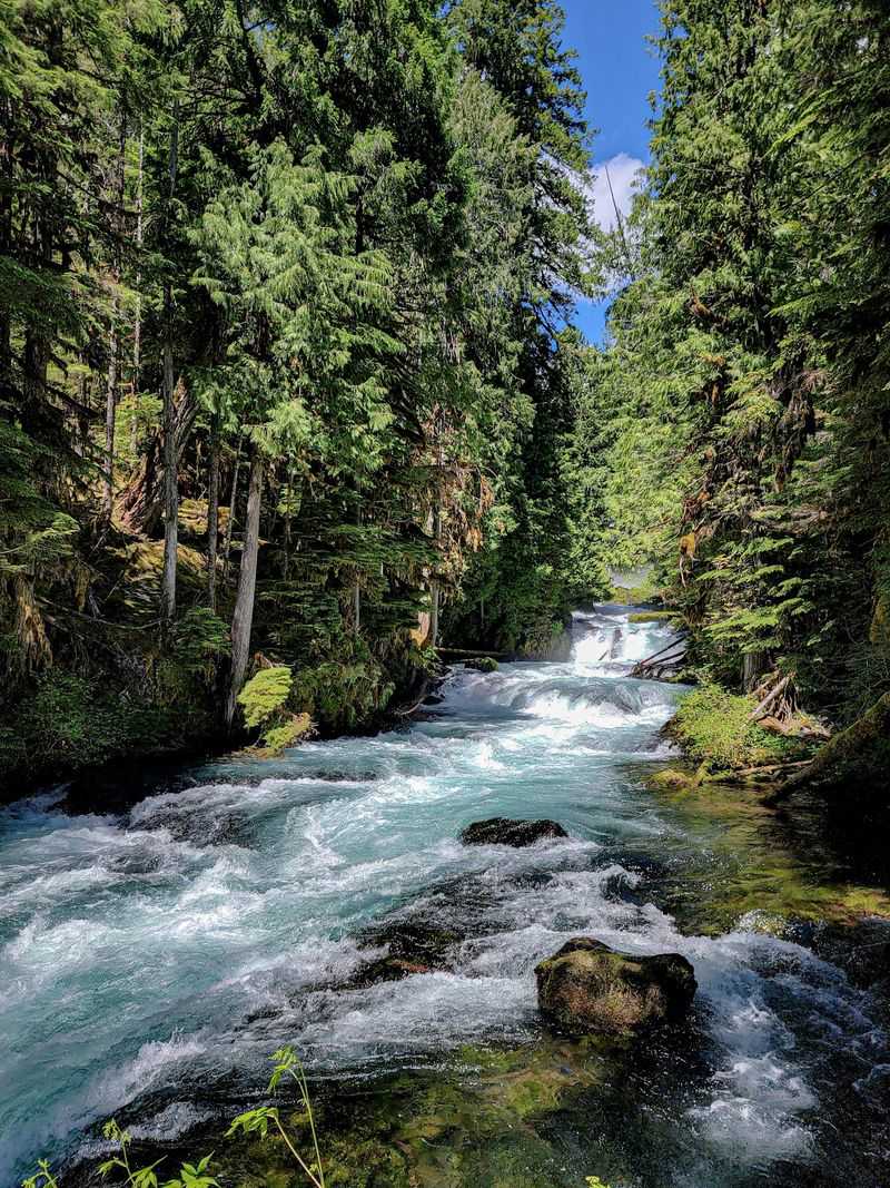
The Waterfalls Loop connects directly to the McKenzie River National Recreation Trail, one of Oregon’s most beloved long-distance trails. The full McKenzie River Trail runs for about 26 miles through the Willamette National Forest, and the waterfall section gives hikers a taste of what the rest of the route has to offer.
From the Koosah Falls trailhead, you can hike approximately 1.5 miles north to reach the main McKenzie River Trail junction. At that point, the choice is yours: turn around and head back, or keep going for more river scenery and forest depth.
The trail stays relatively flat along the river corridor, making longer extensions feel manageable for most fitness levels.
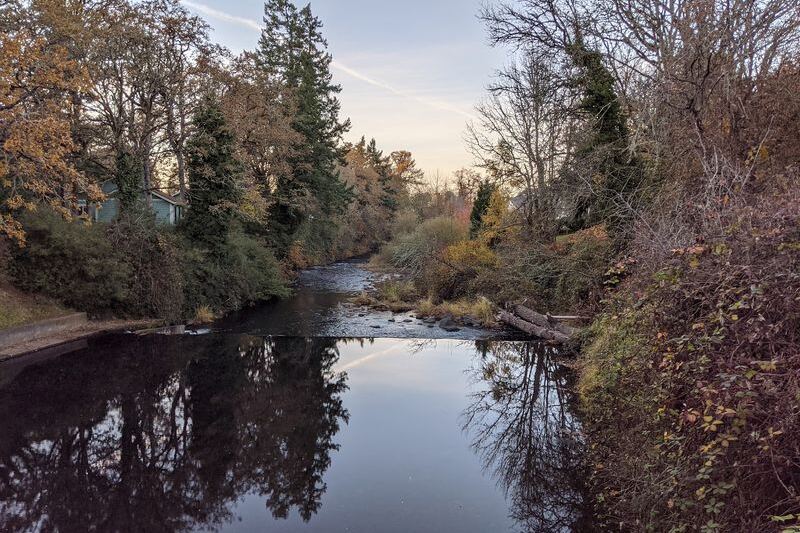
The river itself is a constant companion along this stretch, visible through the trees and audible around every bend. The water runs fast and clear over smooth volcanic rock, and the surrounding old-growth forest creates a canopy that keeps the trail cool even on warmer days.
This connection to a larger trail system makes the Waterfalls Loop feel like both a destination and a starting point for bigger adventures.
Wildlife, Wildflowers, and the Living Forest
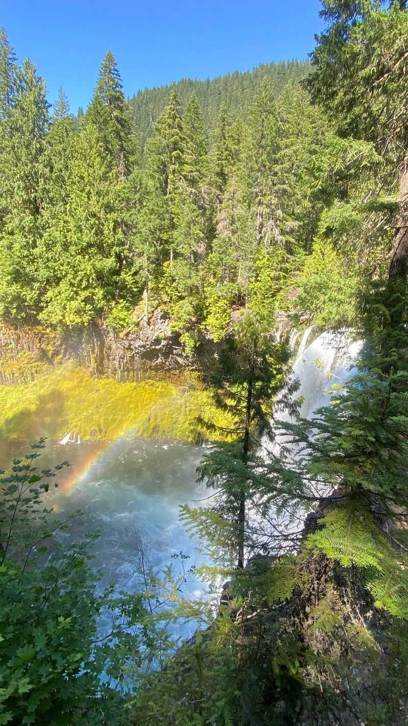
The forest along this trail is alive in a way that rewards slow walkers and curious eyes. The trail passes through a dense mix of Douglas fir, western hemlock, and bigleaf maple, with a thick understory of ferns, mosses, and Oregon grape carpeting the forest floor.
In spring and early summer, wildflowers push through the green in cheerful bursts of color.
The mist from the falls keeps the immediate area around each waterfall lush and almost tropical in appearance. Mosses drape over every rock and log, and the air smells clean and faintly earthy in a way that is hard to replicate anywhere else.
Birdsong fills the canopy, and the occasional flash of a dipper bird skimming the river surface is a treat for anyone paying attention.
Deer are sometimes spotted in the quieter sections of trail, particularly in the early morning before the crowd arrives. The trail stays green and richly textured well into fall, when the bigleaf maples add warm amber and gold tones to the scene.
This is a trail where the forest itself earns as much appreciation as the waterfalls at either end.
Family-Friendly Features and Accessibility
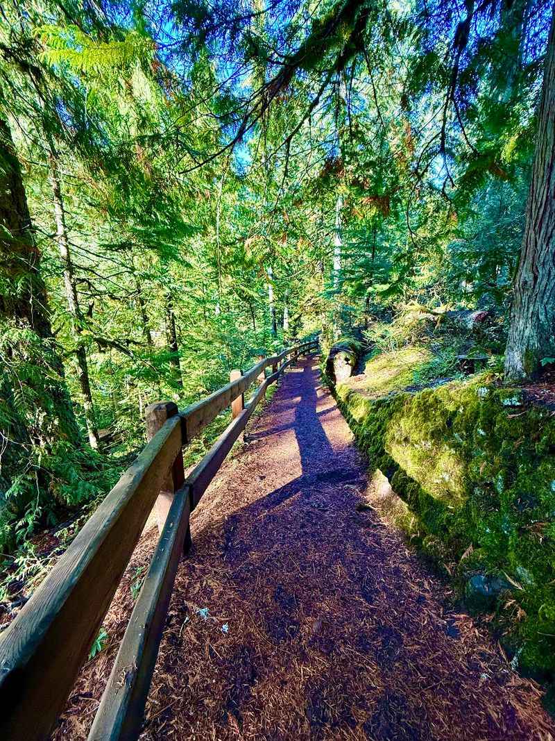
One of the things that makes this trail stand out is how genuinely accessible it is for a wide range of visitors. The main section between the two falls is short, well-maintained, and does not require any specialized gear or prior hiking experience.
Regular athletic shoes handle the trail comfortably, and the footing stays solid even after rain.
Families with young children find the trail especially rewarding because the payoff, two spectacular waterfalls, comes quickly without demanding a full day of effort. The viewing platforms near both falls are sturdy and well-positioned, giving even shorter visitors a clear sightline to the water.
Dogs are welcome on leash, which means the family dog does not have to sit this one out.
The trail is also listed as kid-friendly and dog-friendly, which makes it a natural choice for mixed-ability groups. The stairs near the first falls add a mild challenge that kids tend to enjoy rather than dread.
Picnic spots along the river offer a natural rest point for families who want to linger and let the younger hikers recharge before heading back.
Best Times to Visit and Seasonal Considerations
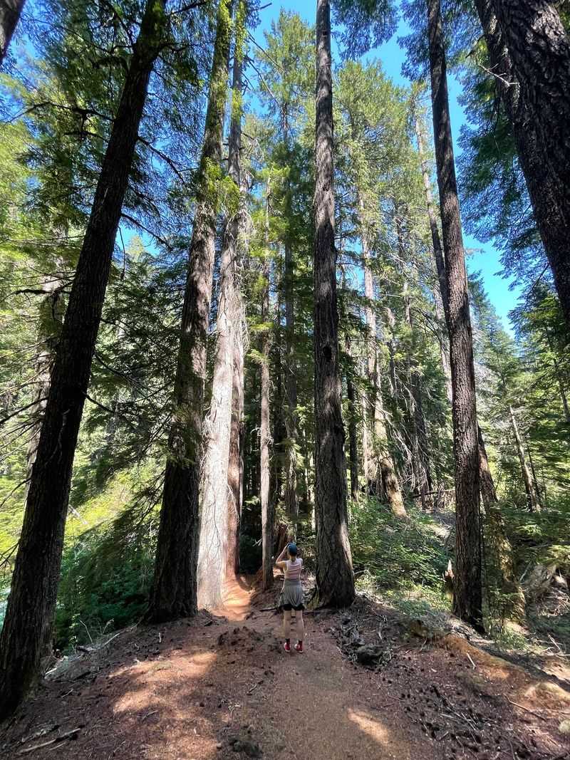
Timing a visit to the Waterfalls Loop takes a little planning, especially because the area can receive significant snow through late spring. The trail sits at an elevation where winter snowpack lingers well into April or even May in heavy snow years.
Checking recent photos and trail reports before heading out is a practical habit that prevents unpleasant surprises.
Late spring and early summer are widely considered the best time to visit, when snowmelt pushes the McKenzie River to its highest volume and both falls run at full intensity. The water color is most vivid during this period, and the surrounding forest is at its most saturated green.
Summer visits are also popular, with warmer temperatures and longer daylight hours making afternoon hikes comfortable.
Fall brings a different kind of beauty, with the deciduous trees along the trail turning gold and orange while the evergreens stay deep green. Winter visits are possible for experienced hikers with proper footwear, but the trail can be icy and the parking area may be inaccessible.
The trailhead hours of 10 AM to 4:30 PM, Monday through Friday, apply year-round, so an early start on a weekday is always the right call.
Practical Tips Before You Go
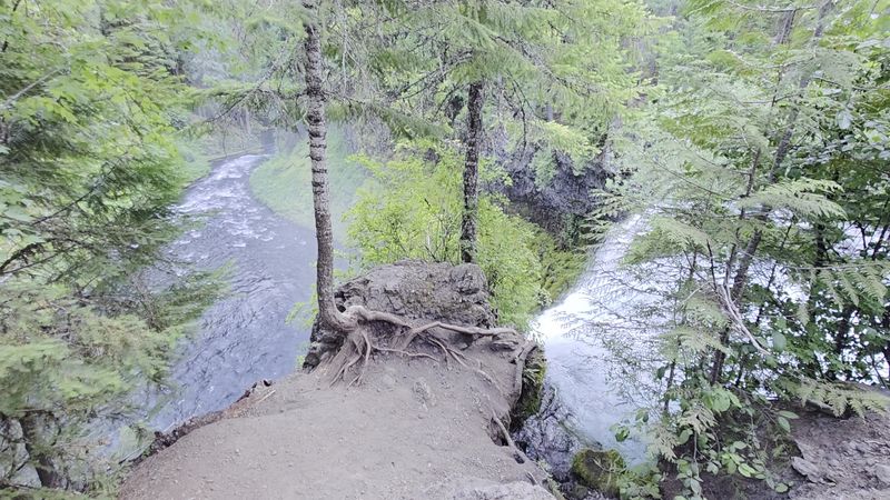
A few practical details make the difference between a smooth visit and a frustrating one at this trailhead. Parking near Koosah Falls is limited to a small lot with only a handful of spots, and it fills up fast on weekday mornings.
Arriving at or just after the 10 AM opening time gives you the best odds of finding a space without circling the lot.
The Carmen Reservoir area at the southern end of the loop has been subject to periodic closures for construction and restoration work, so checking the Willamette National Forest website or the U.S. Forest Service page at fs.usda.gov before your visit is a smart move.
Trail conditions and closure information are updated regularly there.
Amenities at the trailhead are minimal, so packing snacks, plenty of water, and sunscreen before leaving the car covers the basics. The trail has no restroom facilities at the Koosah parking area, so planning accordingly saves a lot of discomfort mid-hike.
A light rain jacket is worth tossing in your pack, since the mist from both falls reaches the trail and the Pacific Northwest weather can shift quickly without much warning.
Share this story