Some of the world’s biggest countries are missing something you might never expect. Whether it’s a coastline, a river, or access to the open ocean, these geographic gaps shape how millions of people live, trade, and travel.
It might seem hard to believe that a country covering millions of square miles could lack such a basic feature, but geography doesn’t always follow common sense. Read on to find out which massive nations are working around some surprisingly big natural limitations.
1. Saudi Arabia: No Permanent Rivers
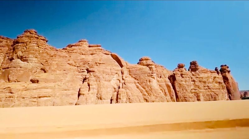
Covering about 830,000 square miles, Saudi Arabia is one of the largest countries on Earth, yet not a single permanent river flows through it. That’s a remarkable fact for a nation of over 35 million people.
The country relies heavily on desalination plants that convert seawater into drinking water, making it one of the world’s top producers of desalinated water.
Underground aquifers supply much of the water used for farming, but these ancient water reserves are not renewable at a useful rate. Saudi Arabia also imports a significant portion of its food to compensate for limited agricultural capacity.
Despite the dry conditions, the country has invested billions into water technology and smart irrigation systems.
The absence of rivers has actually pushed Saudi Arabia to become a global leader in water innovation. Necessity, as they say, is the mother of invention.
2. Kazakhstan: Landlocked and Ocean-Free
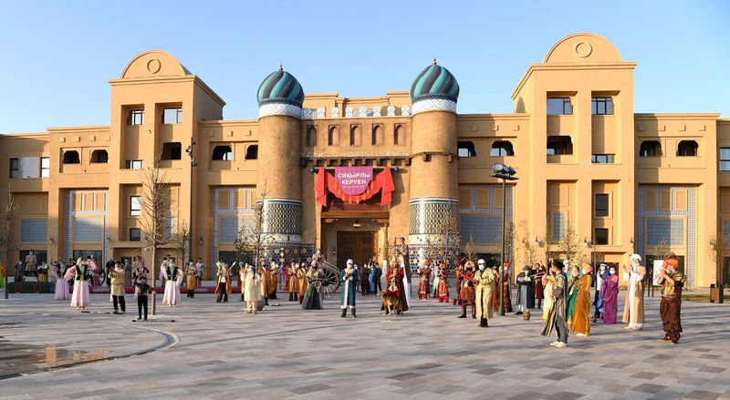
Kazakhstan holds the title of the world’s largest landlocked country, spanning nearly 1.05 million square miles across Central Asia. Despite its massive size, it has absolutely no access to the open ocean.
The Caspian Sea borders its western edge, but that body of water is entirely enclosed and doesn’t connect to any global shipping routes.
Being landlocked creates real economic challenges. Goods must travel through multiple neighboring countries to reach international markets, which adds time and cost to trade.
Kazakhstan compensates by maintaining strong overland trade routes, including connections along the historic Silk Road corridor.
The country has worked hard to build rail and road infrastructure to stay competitive in global commerce. In recent years, Kazakhstan has also developed free trade zones and logistics hubs to attract foreign investment.
It’s a reminder that geography shapes economies in very direct and lasting ways.
3. Algeria: A Desert Giant with No Flowing Rivers
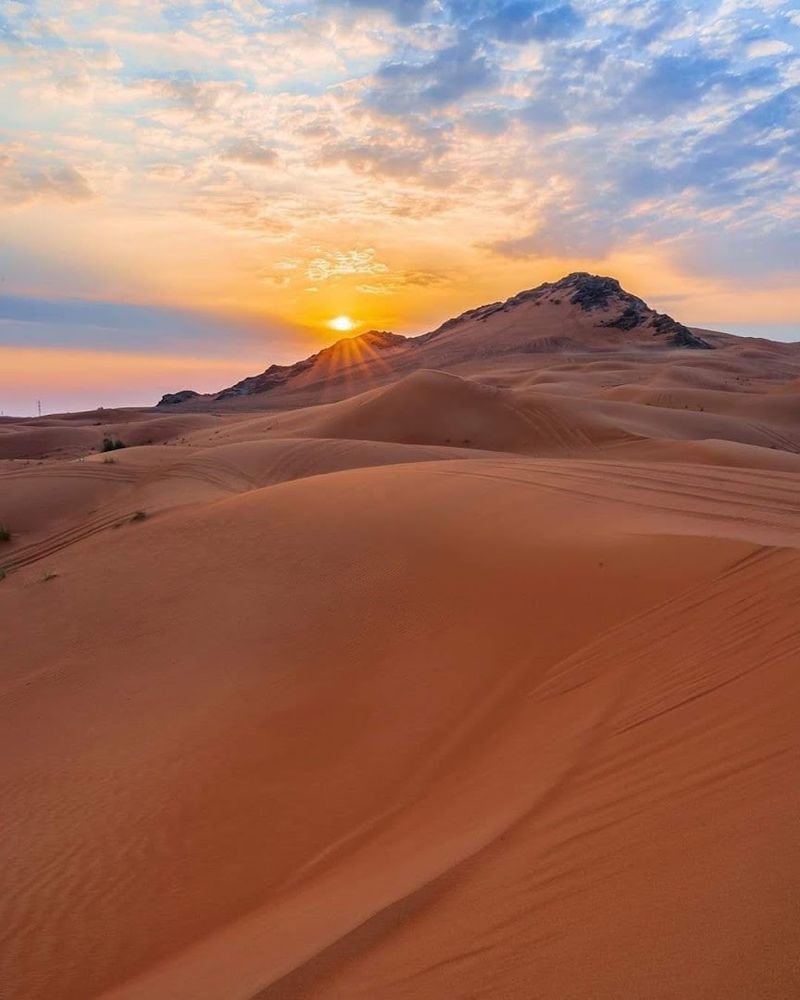
Algeria is Africa’s largest country by area, covering over 919,000 square miles, and yet it has no permanent rivers. Most of the country is covered by the Sahara Desert, one of the hottest and driest places on the planet.
Seasonal streams called wadis appear after rainfall but dry up quickly, leaving the land parched for most of the year.
The northern coastal region receives more rainfall and supports agriculture, but water scarcity remains a national concern. Algeria has invested in large-scale desalination projects along its Mediterranean coast to meet growing urban water demands.
Groundwater from the Sahara’s deep aquifers also plays a critical role in supplying remote communities.
Interestingly, Algeria’s vast desert hides enormous reserves of natural gas and oil, which have helped fund water infrastructure projects. The country’s relationship with water is complex, creative, and constantly evolving.
4. Libya: Sun, Sand, and No Permanent Rivers
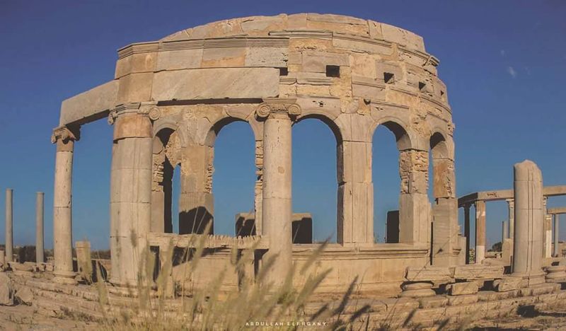
Libya covers about 679,000 square miles, making it one of Africa’s largest nations. Like its neighbors, it has no permanent rivers.
The country is mostly desert, with the Sahara covering over 90 percent of its land. Rainfall is extremely rare in most regions, and when it does fall, the water evaporates or drains quickly into the ground.
To address this challenge, Libya built one of the most ambitious engineering projects in history: the Great Man-Made River. This massive underground pipeline system pumps fossil water from deep aquifers beneath the Sahara to populated coastal cities.
It supplies about 70 percent of the country’s fresh water needs.
While impressive, the fossil water being used took thousands of years to accumulate and cannot be replenished at a meaningful rate. Libya’s water story is a powerful example of human engineering tackling geography head-on, with long-term sustainability still an open question.
5. Mongolia: Massive Country, Zero Coastline
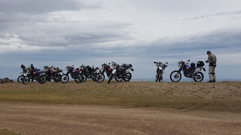
Mongolia is the world’s second-largest landlocked country, stretching across 604,000 square miles between Russia and China. With no coastline to speak of, the country relies entirely on its neighbors for access to international shipping routes.
This geographic reality has shaped Mongolia’s trade relationships and economic strategies for centuries.
The country is famous for its nomadic herding culture, where families move with their livestock across vast open grasslands called steppes. Without ocean access, fishing is limited to freshwater lakes and rivers.
The Gobi Desert covers much of the southern region, adding another layer of geographic challenge to daily life.
Despite these limitations, Mongolia has rich deposits of coal, copper, and gold that drive its modern economy. Trade routes through China and Russia serve as the country’s economic lifelines.
Mongolia proves that a landlocked nation can still punch well above its weight on the global stage.
6. Chad: Central Africa’s Coastline-Free Giant
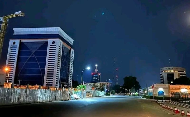
Chad sits deep in the heart of Africa, covering about 495,000 square miles without a single kilometer of coastline. Surrounded by six other countries, it depends entirely on overland routes to move goods in and out.
This isolation has made building a strong export economy genuinely difficult over the decades.
Lake Chad, once one of Africa’s largest lakes, was historically a vital freshwater source for the region. Sadly, it has shrunk by over 90 percent since the 1960s due to climate change, overuse, and reduced rainfall.
This environmental crisis has created food and water insecurity for millions of people living around its shores.
Despite these hardships, Chad has significant oil reserves that generate export income, though much of the population still lives in poverty. The country’s geographic isolation amplifies the impact of every environmental and economic challenge it faces.
Access to the sea might not solve everything, but it would certainly help.
7. Niger: West Africa’s Landlocked Behemoth
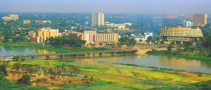
Niger is the largest country in West Africa, covering about 489,000 square miles, yet it has no coastline. More than 80 percent of the country is covered by the Sahara Desert, making it one of the hottest nations on Earth.
Getting goods to international markets requires traveling through multiple neighboring countries, which increases costs and slows trade significantly.
The Niger River, which the country is named after, flows through its southwestern region and provides a critical lifeline for agriculture and transportation in that area. However, this single river cannot meet the needs of the entire country.
Uranium mining has historically been a key economic activity, making Niger one of the world’s top uranium producers.
Despite its vast size, Niger consistently ranks among the world’s least developed nations. The combination of extreme climate, limited water access, and geographic isolation creates a tough environment for economic growth.
Resilience here is not optional, it is a way of life.
8. Mali: Where the Sahara Meets Landlocked Reality
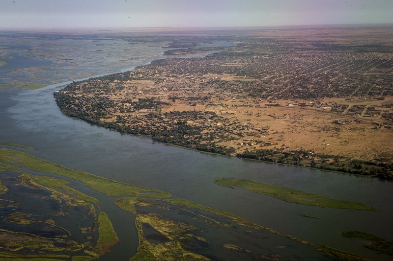
Mali covers about 478,000 square miles in West Africa and has been landlocked throughout its modern history. The northern two-thirds of the country is pure Sahara Desert, while the south is greener and more populated.
Without a coastline, Mali depends heavily on ports in neighboring countries like Senegal, Guinea, and Ivory Coast to conduct international trade.
The Niger River flows through the south and has supported farming and fishing communities for thousands of years. Ancient cities like Timbuktu were once thriving trade centers along trans-Saharan caravan routes, showing that landlocked regions can still build impressive commercial networks.
Gold mining remains one of Mali’s most important industries today.
However, political instability and security challenges in recent years have disrupted economic progress. Being landlocked adds another layer of vulnerability when regional tensions make border crossings difficult.
Mali’s story is one of extraordinary historical richness navigating very modern geographic and political pressures.
9. Ethiopia: Lost Its Coastline in 1993
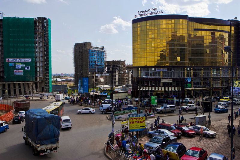
Ethiopia is Africa’s second most populous country, home to over 120 million people, and it hasn’t had a coastline since 1993. That year, Eritrea gained independence and took the entire Red Sea coast with it, leaving Ethiopia completely landlocked.
Overnight, a country of tens of millions lost its direct access to international shipping lanes.
Today, Ethiopia relies on the port of Djibouti to handle the vast majority of its imports and exports. This arrangement works, but it comes at a significant financial cost and creates logistical vulnerabilities.
Any disruption at Djibouti’s port can ripple through Ethiopia’s entire economy almost immediately.
Ethiopia has been actively negotiating for sea access rights in recent years, recognizing how critical ocean access is for long-term economic growth. The country has one of Africa’s fastest-growing economies despite this geographic setback.
Losing a coastline is a reminder that political changes can reshape geography just as dramatically as natural forces.
10. Bolivia: The Country That Lost Its Ocean
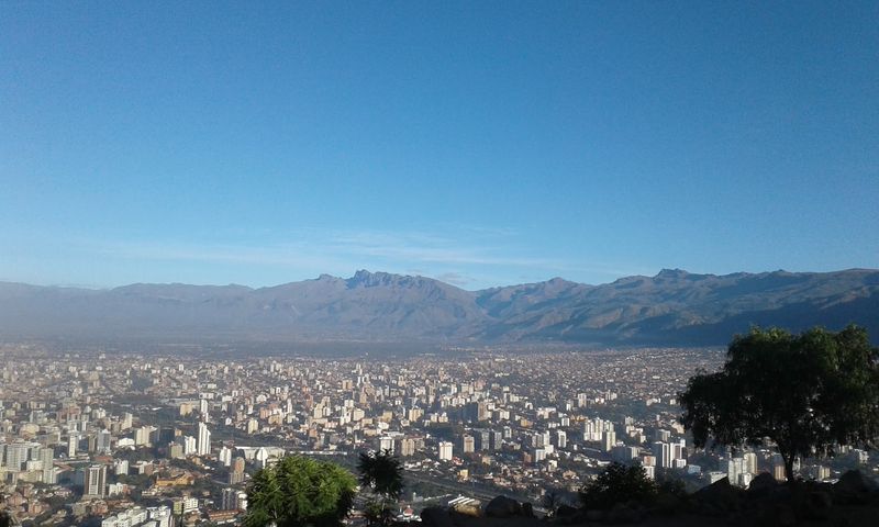
Bolivia’s relationship with the ocean is one of history’s most emotionally charged geographic stories. The country lost its Pacific coastline to Chile during the War of the Pacific in 1884, a wound that Bolivians still feel deeply today.
Every year, Bolivia observes a national Day of the Sea to remember what was lost and to reaffirm the country’s desire to reclaim ocean access.
Without a coast, Bolivia depends on Chilean and Peruvian ports to conduct international trade. This reliance adds costs and complications to an already challenging economic situation.
The country is one of South America’s poorest nations, and geographic isolation plays a meaningful role in that reality.
Bolivia has pursued legal challenges at the International Court of Justice seeking guaranteed sea access, though without success so far. The landlocked Andes nation remains rich in natural gas, lithium, and silver.
Its story is proof that geography and national identity are sometimes painfully intertwined.
11. Afghanistan: Mountains, Deserts, and No Sea
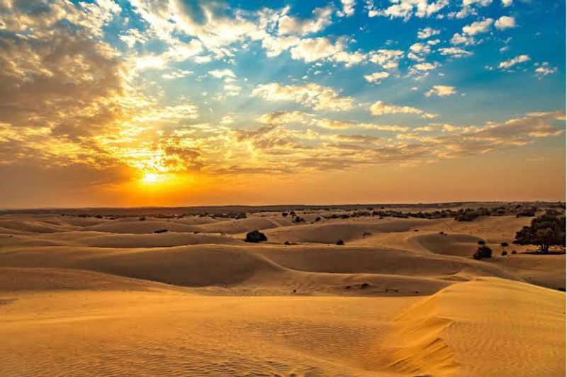
Afghanistan covers about 252,000 square miles of Central Asia and has never had a coastline. Surrounded by six countries, it sits at the crossroads of major regional trade routes but must rely entirely on its neighbors for sea access.
The country’s rugged terrain, dominated by the Hindu Kush mountain range, adds further challenges to moving goods efficiently.
Historically, Afghanistan was a key stop on the ancient Silk Road, proving that landlocked nations can still serve as vital commercial hubs. Today, the country uses Pakistani ports, primarily Karachi, as its main gateway to global markets.
This dependence creates political and logistical complications whenever Afghanistan-Pakistan relations are strained.
Decades of conflict have made infrastructure development extremely difficult, limiting the country’s ability to build roads and trade networks that could offset its geographic disadvantages. Afghanistan’s landlocked status is just one piece of a much larger and more complex national story that continues to unfold today.
12. South Sudan: The World’s Newest Landlocked Nation
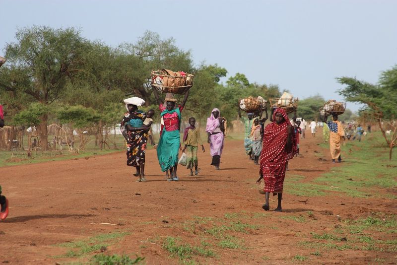
South Sudan became the world’s newest country in 2011 when it gained independence from Sudan, and it entered the world stage completely landlocked. Covering about 239,000 square miles in East-Central Africa, it has no coastline and must ship its oil exports through Sudan’s pipeline to reach the Red Sea.
This arrangement has created ongoing political tensions between the two neighboring nations.
Oil revenues make up the vast majority of South Sudan’s government income, making the pipeline relationship with Sudan a matter of national economic survival. Any disruption to that pipeline can trigger a financial crisis almost immediately.
Beyond oil, the country’s infrastructure is still developing, and road networks in many areas remain extremely limited.
South Sudan also faces serious humanitarian challenges, including food insecurity and displacement from years of internal conflict. Being landlocked compounds these issues by making aid delivery more expensive and time-consuming.
Despite everything, the country’s people carry a remarkable spirit of resilience forward every single day.
13. Botswana: A Success Story Without a Coastline
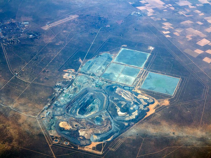
Botswana is one of Africa’s great economic success stories, and it achieved that without a single kilometer of coastline. Covering about 224,000 square miles in southern Africa, the country is surrounded by Zambia, Zimbabwe, Namibia, and South Africa.
It relies on South African ports, especially Durban, for the bulk of its international trade.
What sets Botswana apart from many other landlocked nations is its diamond wealth. The country is one of the world’s top diamond producers, and careful management of those revenues has helped build strong infrastructure, healthcare, and education systems.
Botswana transformed itself from one of Africa’s poorest countries at independence in 1966 to a middle-income nation in just a few decades.
The Okavango Delta, one of the world’s most spectacular inland waterways, draws tourists from around the globe. Botswana shows that landlocked geography doesn’t have to mean economic disadvantage when resources are managed wisely and transparently.
14. Paraguay: South America’s Inland Island
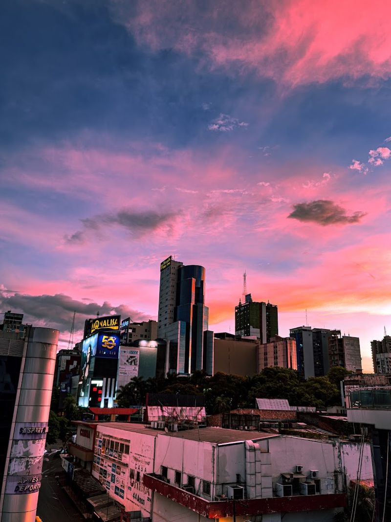
Tucked between Argentina, Brazil, and Bolivia, Paraguay covers about 157,000 square miles and has no coastline. It’s one of only two landlocked countries in South America, the other being Bolivia.
Despite this, Paraguay has cleverly used its major rivers, the Paraguay and the Parana, as essential trade highways connecting it to Atlantic ports in Argentina and Uruguay.
The Itaipu Dam, shared with Brazil on the Parana River, is one of the world’s largest hydroelectric power plants. Paraguay generates so much electricity that it exports the majority of its power to neighboring countries, making energy exports a cornerstone of its economy.
This resourcefulness has helped Paraguay maintain steady economic growth in recent decades.
Agriculture, particularly soybeans and beef, drives much of the country’s export income. Paraguay’s river system essentially acts as its version of a coastline, giving it commercial connectivity that pure geography might otherwise deny.
It’s a clever workaround that has served the country remarkably well.
15. Uzbekistan: Double Landlocked in Central Asia
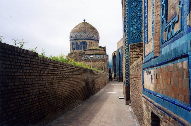
Uzbekistan holds a rare geographic distinction: it is one of only two doubly landlocked countries in the world. That means not only is it landlocked itself, but every single country surrounding it is also landlocked.
To reach the open ocean, goods from Uzbekistan must cross at least two international borders, which adds layers of cost and complexity to any trade.
Despite this, Uzbekistan is one of Central Asia’s most populous and economically active nations, home to over 35 million people. The country is a major producer of cotton, gold, and natural gas, and it has been working to diversify its economy in recent years.
Historic Silk Road cities like Samarkand and Bukhara also attract growing numbers of tourists each year.
Uzbekistan has been investing heavily in rail connections to China and Europe to improve trade access. Geography is a challenge here, but history shows this region has always found ways to connect with the wider world.
Share this story